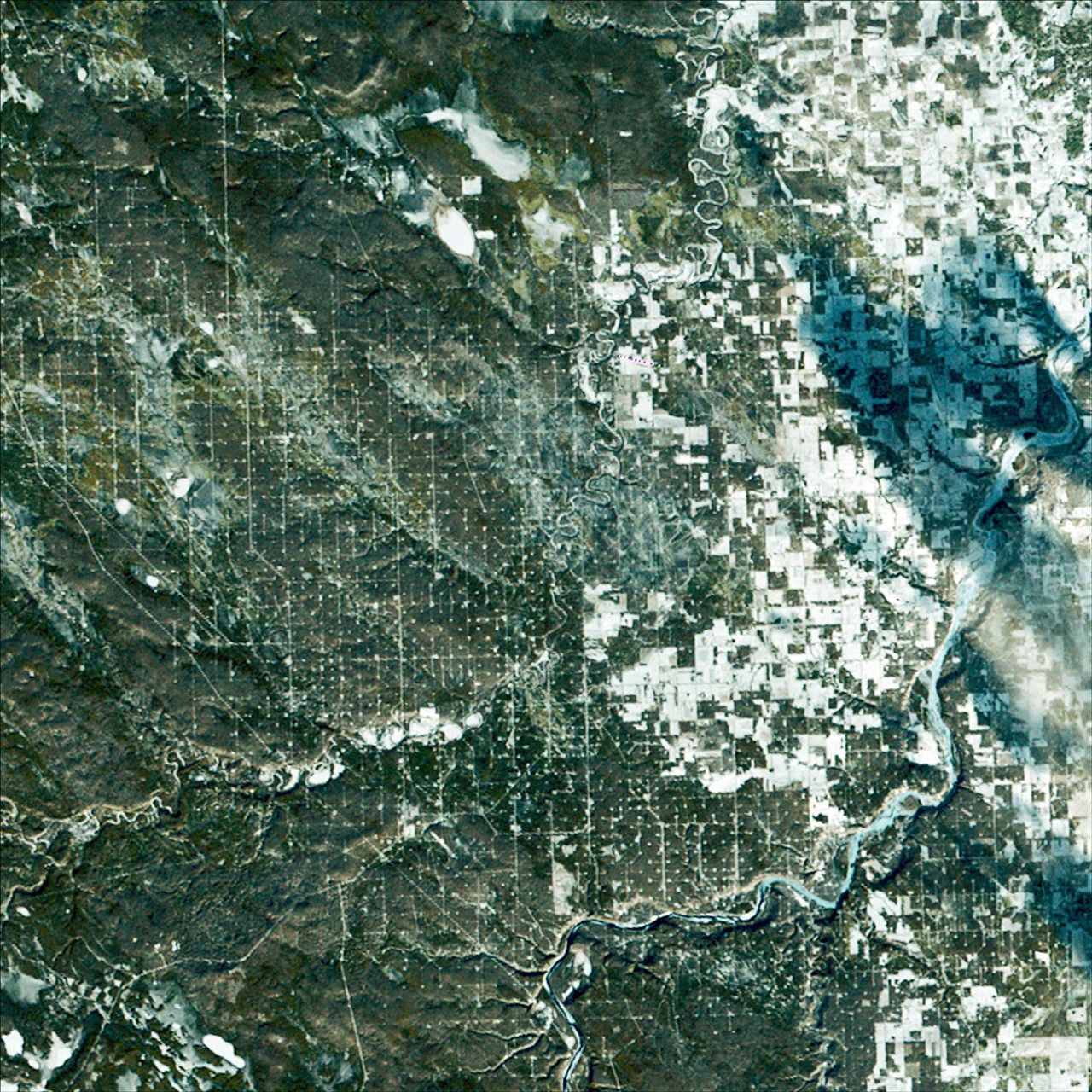
Landsat 2 First Light Image of Drayton Valley
Landsat 2’s first light image captured Drayton Valley in Alberta, Canada on January 24, 1975. Located along Canadian Highway 22, also known as Cowboy Trail, the town’s original economy thrived on faming and logging. The discovery of the Pembina oil field in 1953 contributed to explosive growth in the sparsely populated area, with an increase from 75 individuals to 2,000.
Image Credit: USGS
- X
https://science.nasa.gov/image-detail/amf-502c11a1-b0f6-44f9-b5fd-74d4258f8ed9/
Image CreditUSGS
Size2400x2400px