Landsat 2 First Light
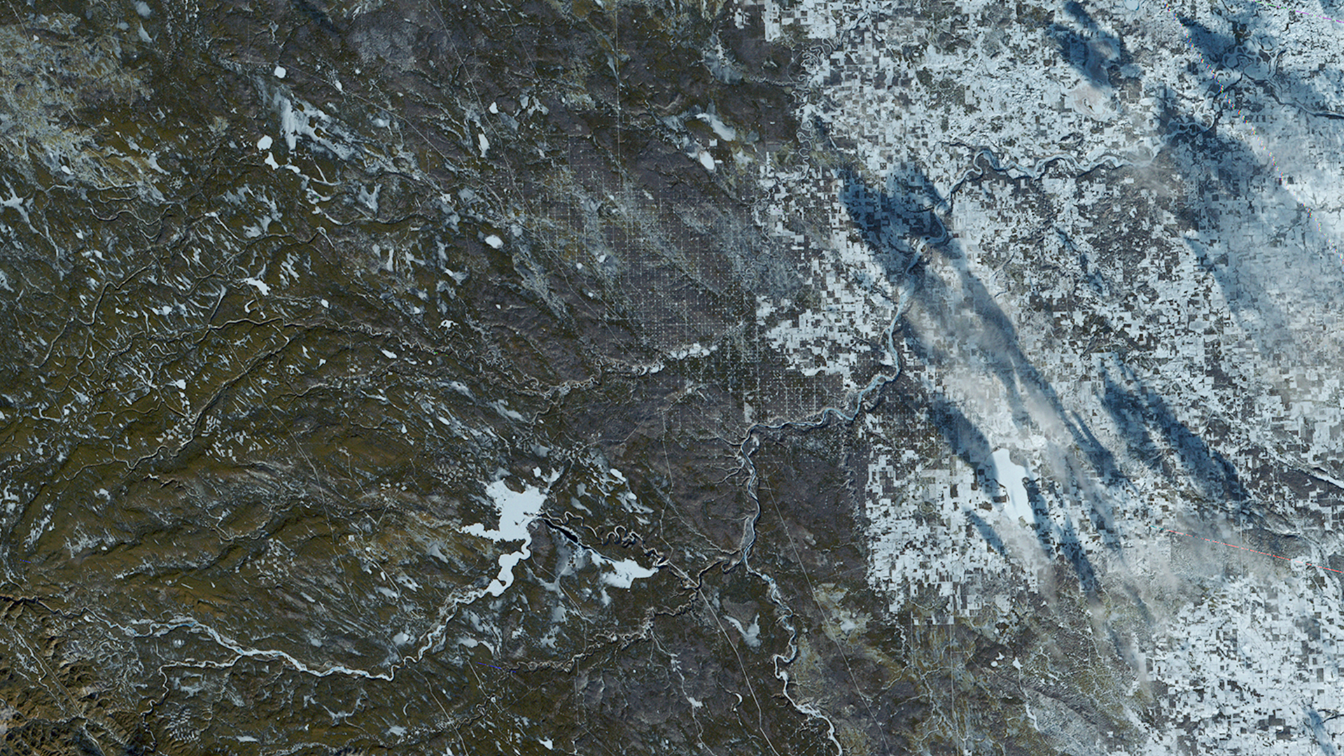
Landsat 2's first light image. The boxed pattern seen here comes from the infrastructure for the oil and gas industry. Roads and utility corridors interconnect allowing access to well sites.
Image Credit: NASA / USGS
- X
https://science.nasa.gov/image-detail/amf-c511fed6-38ab-4c33-aadc-0dcb7ca2a6de/
Image CreditNASA / USGS
Size1920x1080px