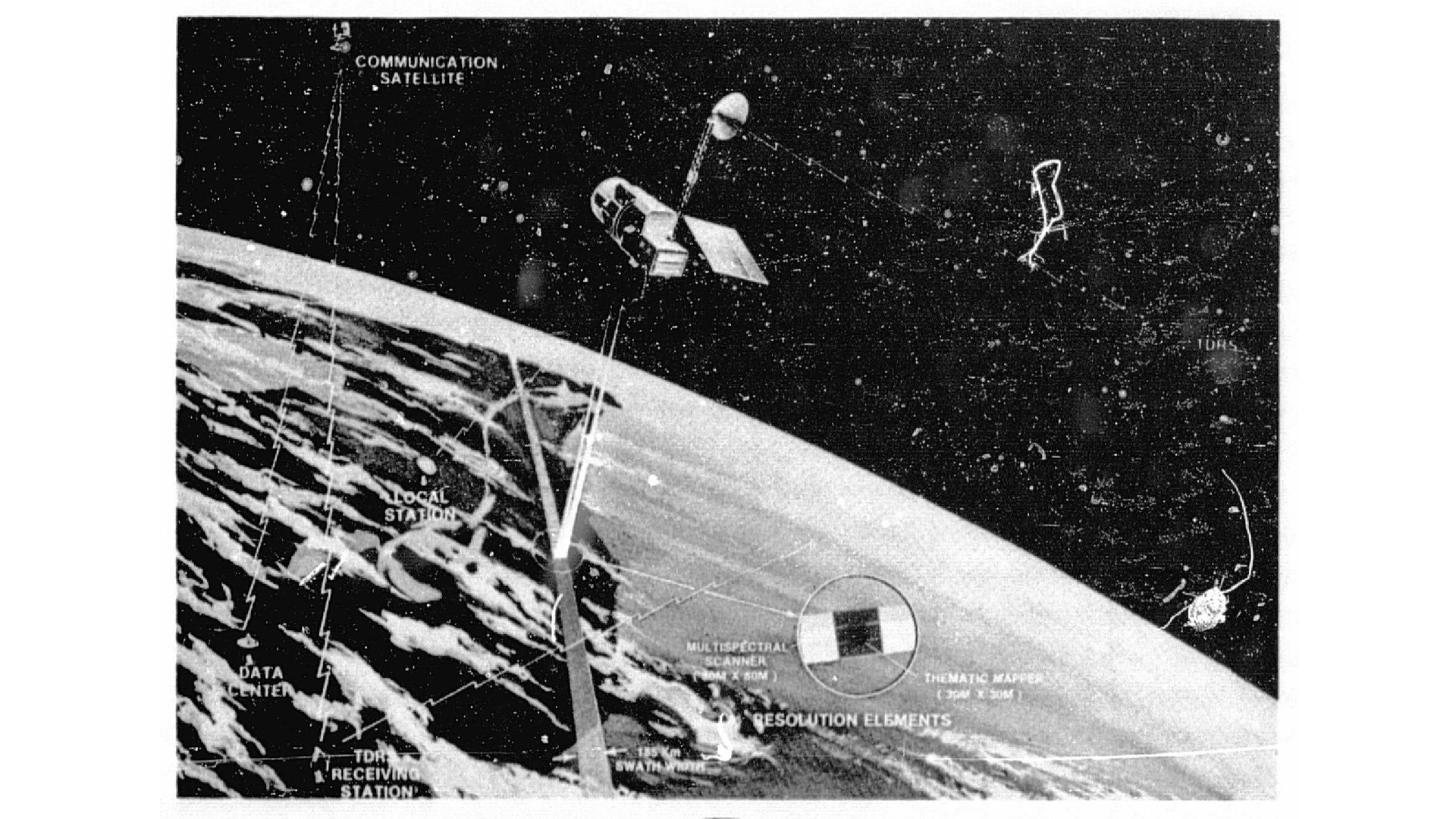
Due to the lapse in federal government funding, NASA is not updating this website.

Suggested Searches

Black and white illustration of the Landsat-D Earth observation system showing the complete data collection and transmission chain. The image depicts the Landsat satellite in orbit above Earth with its imaging sensors scanning the surface, a communication satellite (TDRS) for data relay, ground-based receiving stations including a local station and TDM receiving station, and a data center. The diagram shows the satellite's scanning pattern creating resolution elements on Earth's surface, with labels indicating multispectral scanning capabilities and the complete data flow from space to ground processing facilities.

Landsat-D System

Comprehensive diagram of the Landsat-D Earth observation system illustrating the satellite's imaging capabilities, data transmission through communication satellites, and ground-based data reception and processing infrastructure.

Image Credit: NASA
Download