


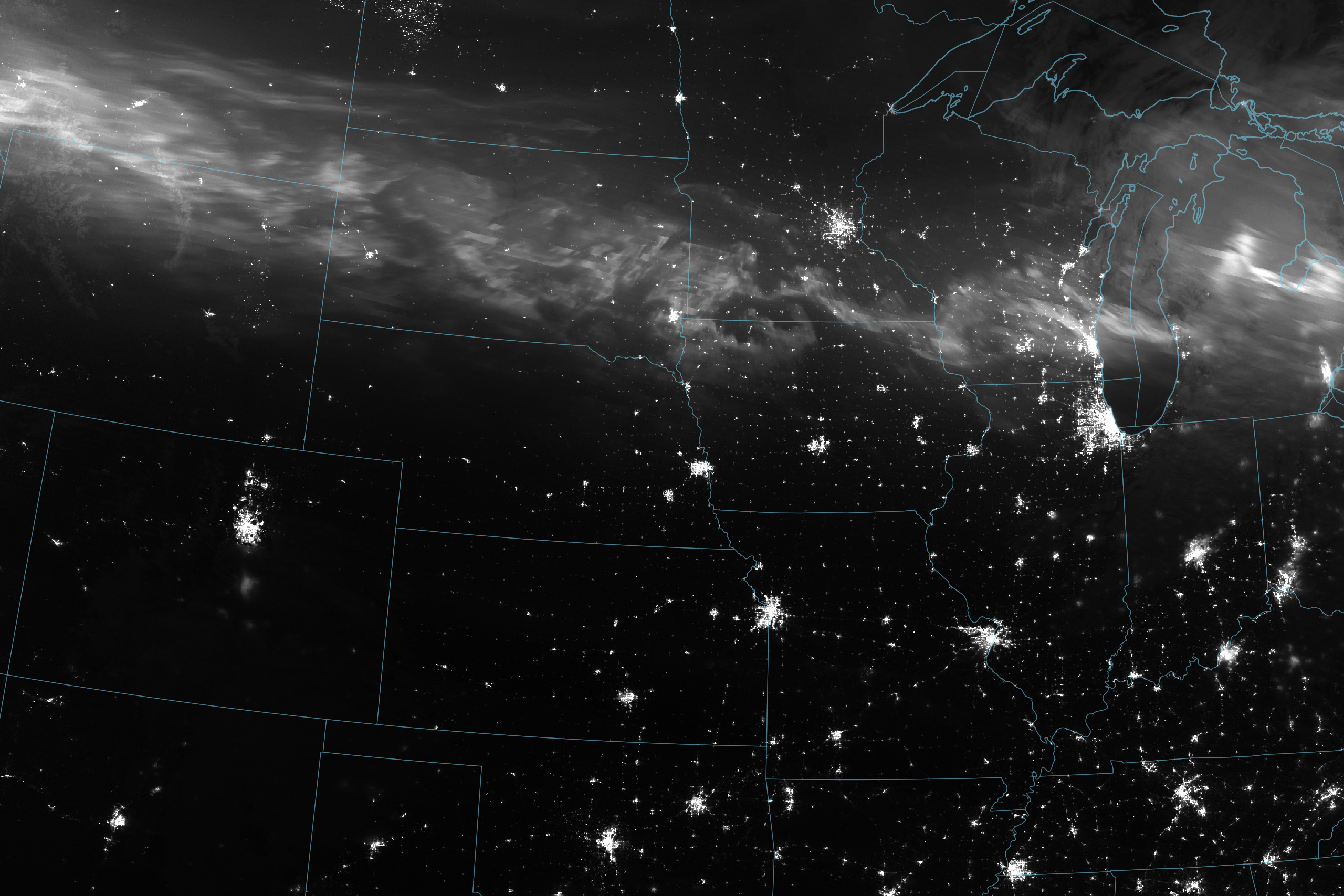
Historic Geomagnetic Storm Dazzles
Space scientists and sky-watchers were treated to a stunning display of the northern lights in May 2024. View the full story
Image Credit: NASA Earth Observatory / Wanmei Liang
- X
https://science.nasa.gov/image-detail/auroraborealis-vir-20240511-lrg/
TakenMay 11, 2024
Image CreditNASA Earth Observatory / Wanmei Liang
Size1024x683px