


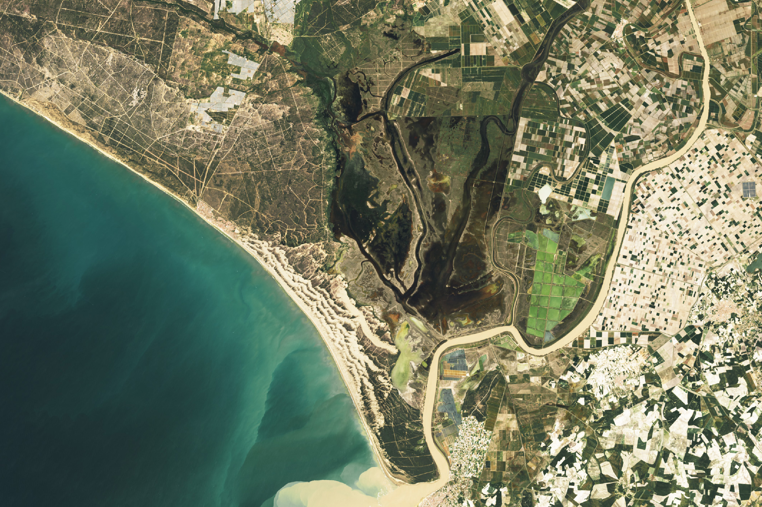
Rain Revives Doñana National Park
Amid prolonged drought, wet spring weather flooded marshes and greened vegetation in southern Spain. View the full story
Image Credit: NASA Earth Observatory / Wanmei Liang
- X
https://science.nasa.gov/image-detail/donananationalpark-oli2-20240409-lrg/
TakenApril 9, 2024
Image CreditNASA Earth Observatory / Wanmei Liang
Size1024x683px