Webinar for Earth to Sky - Telling Stories with Landsat: Make a Landsat GIF!
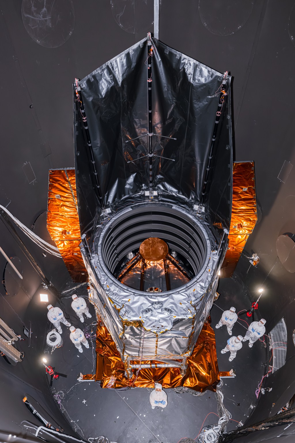
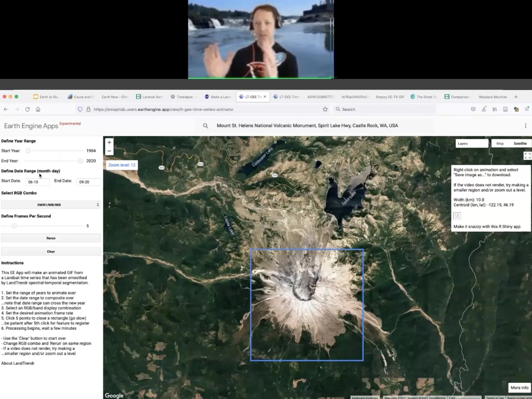
NESEC team member and Oregon State University researcher Peder Nelson led a webinar Oct. 13 for Earth to Sky titled “Telling Stories with Landsat: Make a Landsat GIF!” Peder contextualized Landsat science, highlighted tools like LandTrendr that interpreters can use to make satellite imagery timelapses of their sites, and encouraged interpreters and informal educators to come up with their own ways to create stories about their sites using Landsat data. 18 community members attended and demonstrated great interest. Comments included:
"This is so cool. A theme at our site is 'Changes in the land' and this is perfect!" - Participant in webinar on Landsat imagery
"When I was testing the tool I looked at coastal VA barrier island migration over the last 20 years and it was pretty dramatic!"
"This is so much easier than I thought and it has given me so much more confidence to look into more tech things like this."
The high-quality recording on the Earth to Sky website was then distributed to several relevant networks.


