DSCOVR
Deep Space Climate Observatory
What is DSCOVR?
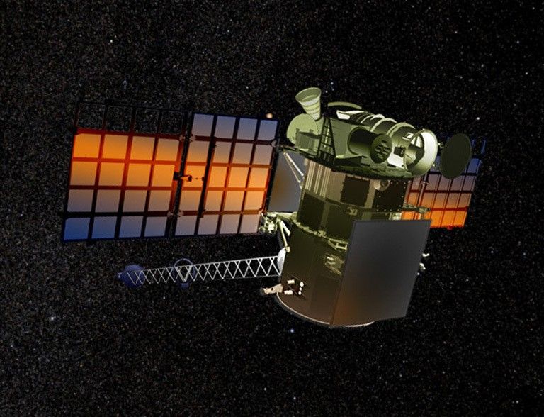
DSCOVR (Deep Space Climate Observatory) is an American space weather station that monitors changes in the solar wind, providing space weather alerts and forecasts for geomagnetic storms that could disrupt power grids, satellites, telecommunications, aviation and GPS.
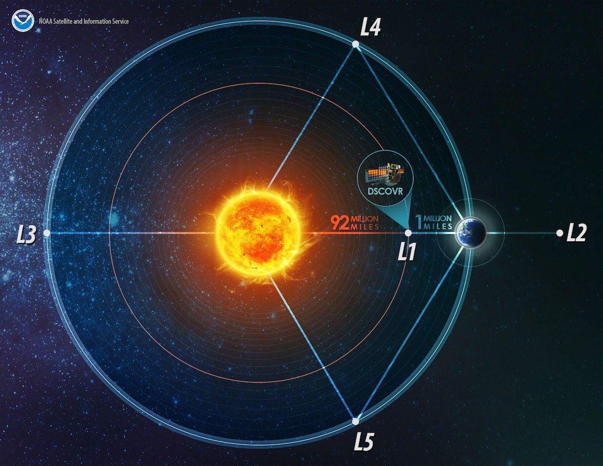
DSCOVR orbits about a million miles from Earth in a unique location called Lagrange point 1, which basically allows it to hover between the Sun and our planet.
The spacecraft’s EPIC camera takes a new picture of Earth every two hours.
The EPIC camera also captures images of solar eclipses and images of the Moon as it passes between DSCOVR and Earth.
| Nation | United States of America (USA) |
| Objective(s) | Sun–Earth L1 Lagrange Point |
| Spacecraft | Triana |
| Spacecraft Mass | 1,260 pounds (570 kilograms) |
| Mission Design and Management | NASA / NOAA / USAF |
| Launch Vehicle | Falcon 9 v1.1 |
| Launch Date and Time | Feb. 11, 2015 / 23:03:02 UT |
| Launch Site | Cape Canaveral, Fla. / SLC-40 |
| Scientific Instruments |
|
Key Dates
Feb 11, 2015: Launch
Jun 8, 2015: Arrival at Sun–Earth L1 Lagrange point
In Depth: DSCOVR
The Deep Space Climate Observatory, or DSCOVR, gives real-time solar wind observations so that forecasters can provide early warnings about geomagnetic storms. It acts like a sensor buoy at sea that warns of an oncoming tsunami—DSCOVR can warn forecasters 15 to 60 minutes before solar storms reach Earth.
DSCOVR is a joint mission between NASA, NOAA, and the USAF and was designed as a successor to NASA’s Advanced Composition Explorer (ACE).
The project originally was called Triana, a mission conceived in 1998 by then-Vice President Al Gore. It was meant to be a NASA Earth science mission to provide an almost continuous view of Earth from space and to use a radiometer to take direct measurements of sunlight reflected and emitted from Earth.
The spacecraft originally was slated for launch on STS-107, the tragic mission of Space Shuttle Columbia in 2003, but Triana was canceled in 2001 and the satellite was put into storage.
Seven years later, in 2008, the Committee on Space Environmental Sensor Mitigation Options (CSESMO) determined the spacecraft would be “the optimal solution for meeting NOAA and USAF space weather requirements.” The satellite was removed from storage in November 2008 and recertified for launch with some modifications.
DSCOVR was launched on Feb.11, 2015, and 100 days later it reached the Sun–Earth L1 Lagrange point and began orbiting about 1 million miles (1.5 million kilometers) from Earth.
The satellite has a continuous view of the Sun and the sunlit side of Earth. It takes full Earth pictures about every 2 hours using the Earth Polychromatic Imaging Camera (EPIC) instrument. In October 2015, a website was launched that posts at least a dozen new color images every day from EPIC.
On Oct. 28, 2015, NASA officially handed over control of DSCOVR to NOAA’s Space Weather Prediction Center (SWPC). The spacecraft completed its first year in deep space on Feb. 11, 2016. Real-time images from DSCOVR were made available to the public beginning in July 2016.
Additional Resources
Key Source
Siddiqi, Asif A. Beyond Earth: A Chronicle of Deep Space Exploration, 1958-2016. NASA History Program Office, 2018.


