


Mission Details
From concept to orbit, every Landsat mission is a feat of engineering and coordination. Explore the milestones, development, and operations that make Landsat 9’s global science possible.
Landsat 9 is composed of three mission segments: the space segment (spacecraft and instruments), the launch segment, and the ground segment. NASA is responsible for developing the space and launch segments, while USGS is responsible for developing the ground segment and operating the mission after launch.

Space Segment
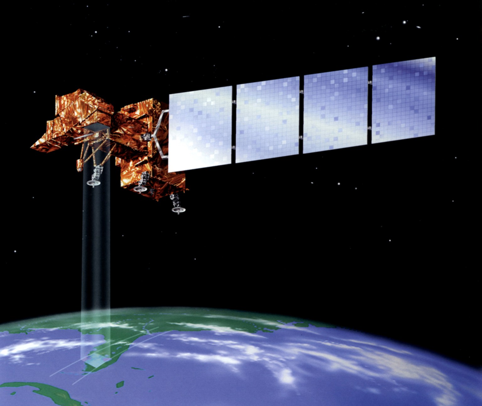
Landsat 9 has two instruments: the Operational Land Imager (OLI), which collects optical data in visible to shortwave-infrared wavelengths, and the Thermal Infrared Sensor (TIRS), which collects thermal-infrared data. The Landsat 9 spacecraft handles power, propulsion, data storage and downlink, and housekeeping. Northrop Grumman designed and fabricated the spacecraft.
Launch Segment
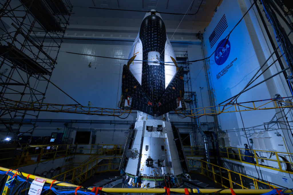
Landsat 9 was successfully launched into orbit on September 27, 2021 aboard an Atlas V 401 rocket. Prior to launch, the Landsat 9 observatory was stored at the Space Launch Complex-3 (SLC-3) at the Vandenberg Space Force Base (VSFB).
Ground System
The Landsat 9 Ground System performs two main functions: command and control of the Landsat 9 observatory in orbit and management of the data transmitted from the observatory. The USGS manages this sizable logistical job, which includes handling the massive quantity of Landsat data transmitted daily, quickly validating that data, and uploading it for anyone on the planet to freely download.
Mission Schedule & Lifecycle
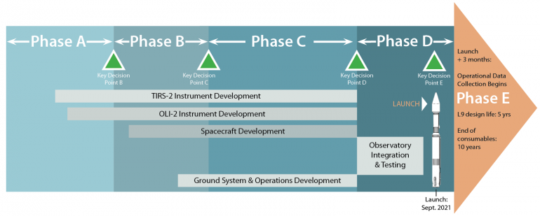
Landsat 9 launched on Sept. 27, 2021. NASA-managed the satellite build with a mission lifecycle that is divided into incremental phases. Phase A is concept and technology development; Phase B is preliminary design and technology completion; Phase C is final design and fabrication; Phase D is system assembly, integration/testing, and launch readiness; Phase E starts after on-orbit operational checkout and ends at the mission’s operational end.
Work on Landsat 9 started in April 2015 and passed Key Decision Point-B on August 17, 2016; KDP-C on December 6, 2017; KDP-D on May 1, 2020; and KDP-E on August 10, 2021. On Aug. 11, 2022, USGS took over management of Landsat 9 for Phase E (mission operations) which include satellite operations and management of data downlinking, processing, and delivery.
| Instrument Development | Spacecraft Development | Ground System & Operations Development | Integration & Testing | Launch |
Instrument Development
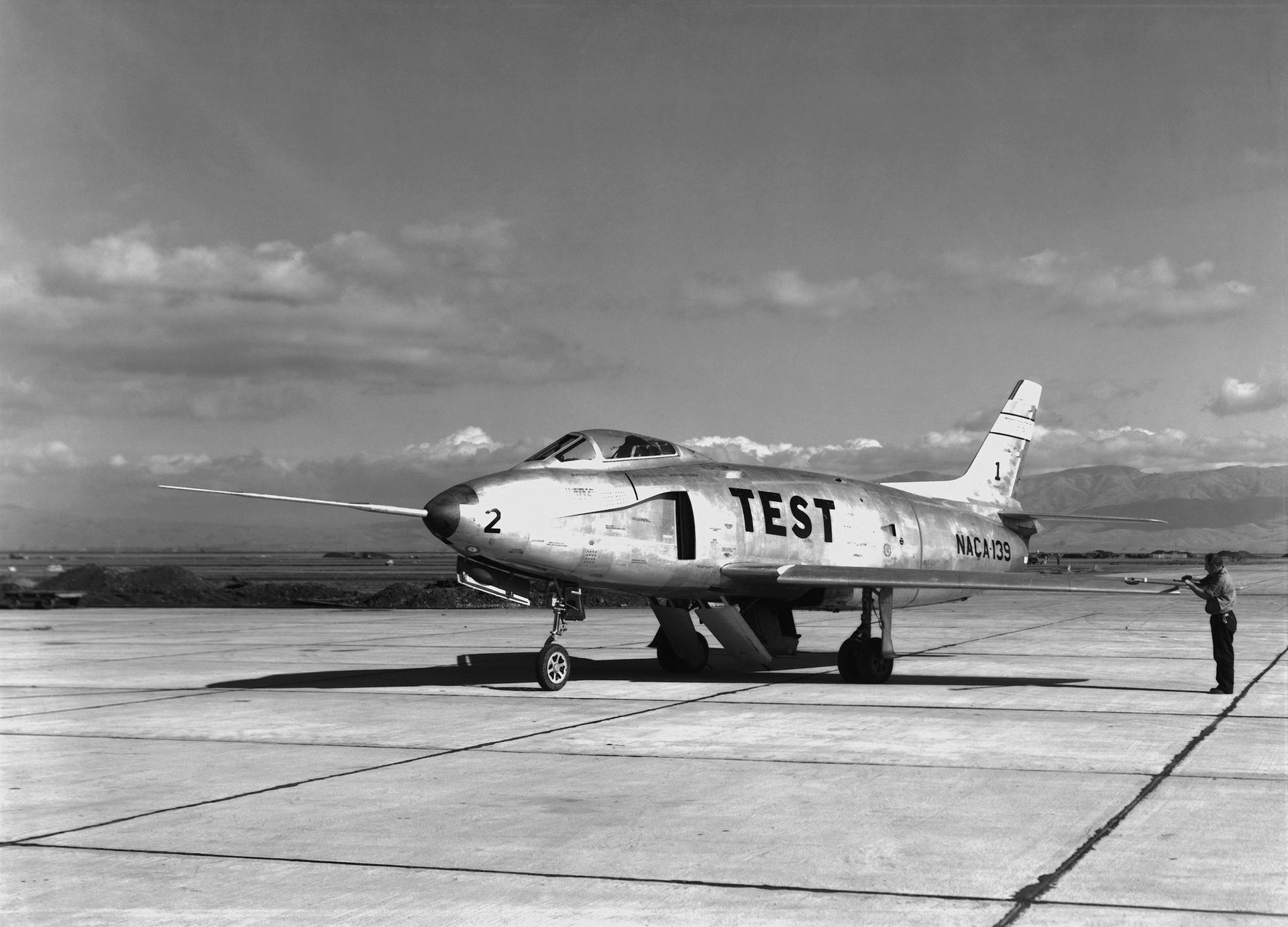
Pushbroom Architecture: Building Precise Earth Images One Strip at a Time
Landsat 8 and 9 instruments were developed using a push-broom design, a technology demonstrated by the Advanced Land Imager (ALI) aboard EO-1 in 2000. A “push-broom” sensor refers to an instrument that collects data in consecutive strips in a track resembling the path of a pushbroom. This is in contrast to the “whiskbroom” ETM+ sensor on Landsat 7, in which a rotating mirror builds each line of an image swath pixel-by-pixel, following the progressive back-and-forth motion of a whiskbroom.
This simpler “push-broom” design leverages improvements in detector technology, resulting in a more sensitive instrument for improved land surface information and better performance across applications. Push-broom sensors have fewer moving parts and substantially lower volume, mass, and power consumption. This technology provides improved performance and response to user needs in line with the objectives of the 1992 Land Remote Sensing Policy Act.
Developing a Science-Grade Instrument
Scientific studies rely on science-grade instruments—instruments that record information reliably and accurately. Landsat’s Operational Land Imager (OLI) and Thermal Infrared Sensor (TIRS) are carefully calibrated to measure subtle changes on Earth’s surface, enabling research into decades-long trends.
Before launching into space, instruments are thoroughly tested to measure exactly how they will perform on orbit. Spectral, radiometric, and spatial characterizations assess the instruments’ capabilities and limitations, create calibration data to make future measurements more accurate, and verify that the instrument met all its requirements before launch. This testing helps scientists understand exactly how reliable the data will be once the satellite starts operating.
Spacecraft Development
The Landsat 9 spacecraft was designed, manufactured, and tested by Orbital ATK’s Space Systems Group (now Northrop Grumman Innovation Systems) in Gilbert, Arizona. It was based on the same LEOStarTM-3 platform that was also used for Landsat 8 with a design life of five years and carries up to ten years of onboard consumables.
The spacecraft consists of the mechanical subsystem, command and data handling subsystem, attitude control subsystem, electrical power subsystem, radio frequency (RF) communications subsystem, hydrazine propulsion subsystem, and thermal control subsystem. As a Class B mission, the spacecraft has sufficient redundancy of critical components to ensure the collection of science-grade data over a 5-year mission life and minimize the risk of a single point failure.
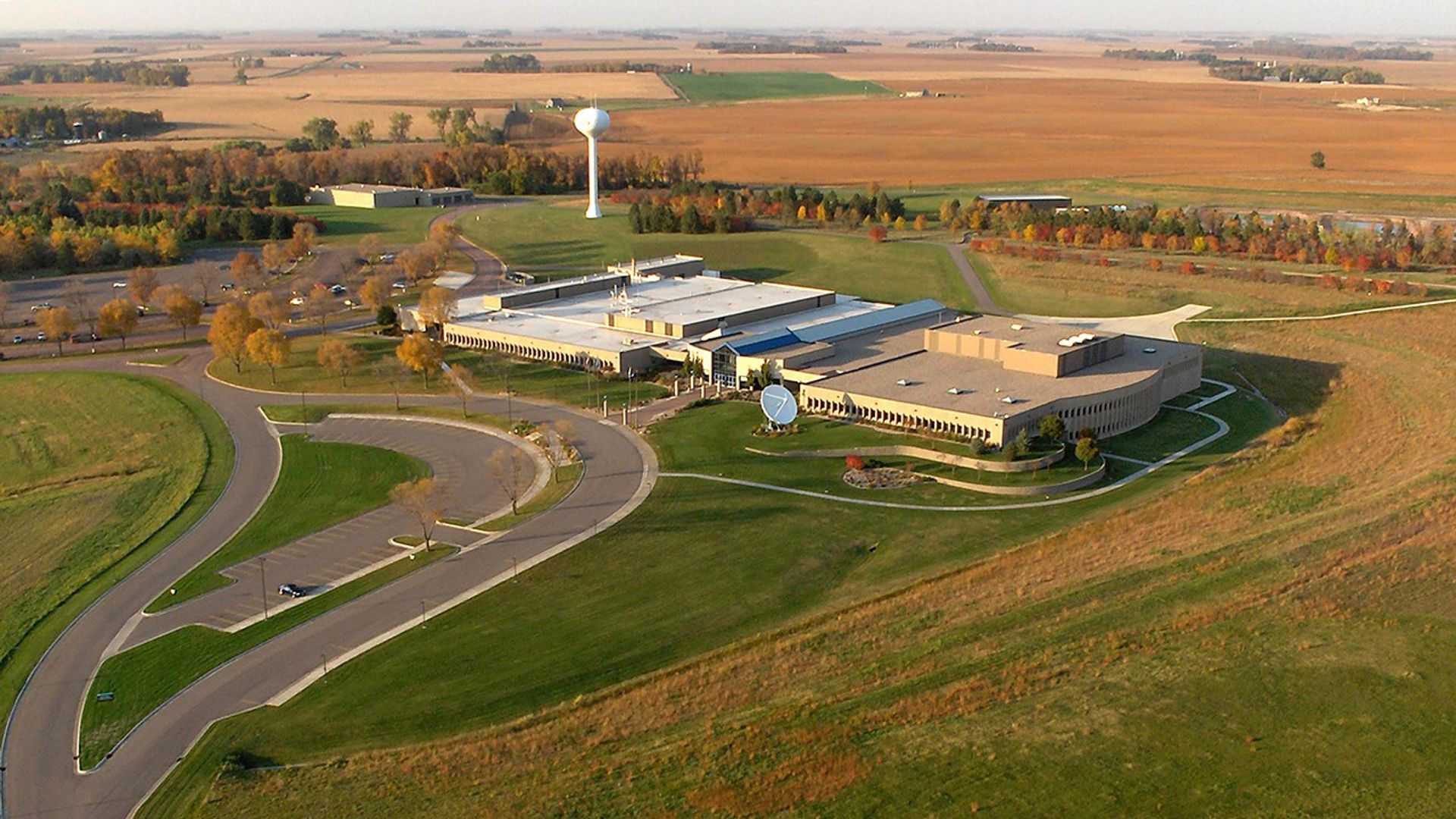
Ground System Development & Operations
The U.S. Geological Survey is responsible for the Landsat 9 ground system which includes: the satellite command and control center, receiving stations, and data processing and archiving infrastructure. The USGS developed most elements of the ground system, with the exception of the Mission Operations Center (MOC), which was developed by General Dynamics Mission Systems (GDMS).
- Mission Operations Center (MOC) defines the set of scenes to be collected by the observatory on a daily basis. The MOC plans and schedules observatory activities, commands and controls the observatory, and monitors the observatory and ground operating systems’ health and status. The MOC is located at the NASA Goddard Space Flight Center (GSFC).
- Ground Network Element (GNE) includes the hardware, software, and networks necessary to communicate with the spacecraft. This includes antennas that transmit and receive commands via S-band to monitor and control the observatory. X-band antennas are used to download science data to ground stations. The GNE relies on the International Ground Station (IGS) Network to assist with those communications.
- Data Processing and Archive System (DPAS) is responsible for receiving raw instrument data from the Ground Networks, processing it into calibrated data products, and archiving the data for access and distribution.
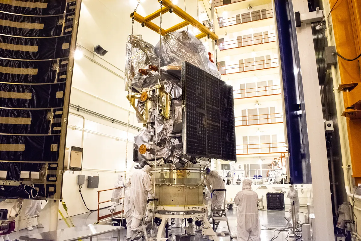
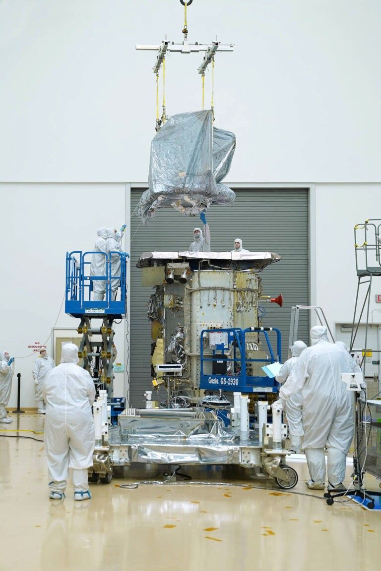
Integration & Testing
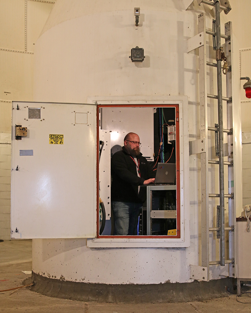
After OLI and TIRS were built and tested, they were shipped to the spacecraft manufacturer, Northrop Grumman, who mounted the instruments onto the spacecraft bus in a process known as integration. After integration, testing began in a thermal vacuum chamber that simulates the outer space environment to test instrument performance.
The satellite went through several cycles of extreme hot and cold temperatures to simulate the sunlit and earth shaded periods of 14+ sun synchronous orbits per day. The satellite was also subjected to acoustic, vibration, and electromagnetic interference tests to ensure the spacecraft could survive its rocket ride into space.
Launch
Landsat 9 was launched into space on September 27, 2021 at 2:12 EDT from Vandenberg Space Force Base in California via a United Launch Alliance Atlas V 401 rocket.
A satellite is not ready for active service until a commissioning—or on-orbit check out—process takes place to ensure that the spacecraft and instruments are operating properly. For Landsat 9, this period was approximately 100 days, after which Landsat 9 was declared operational. The commissioning process is a highly-coordinated and fast-paced effort involving hundreds of people on the Missions Operations, Ground Systems, and Calibration and Validation teams.
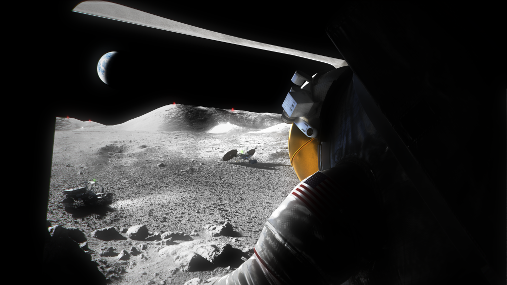
Each satellite in the Landsat program has captured increasingly sophisticated data and imagery documenting Earth’s changing landscapes, and increasing our understanding of the planet on regional, national, and global scales.

Karen St. Germain
Director of NASA’s Earth Science Division
Mission Management
It takes hundreds of people to design, build, launch, and operate a robust satellite observatory that can withstand the rigors of space and provide reliable, well-calibrated scientific data. Science and engineering leadership and collaboration within the Landsat 9 organization is key to the success of the mission.
Roles
The NASA Goddard Space Flight Center (GSFC) was responsible for developing the Landsat 9 flight segment and the USGS Earth Resources Observation and Science (EROS) Center was responsible for developing the Landsat 9 ground segment. The Launch Services Program (LSP) located at the NASA Kennedy Space Center (KSC) provides launch services for the Landsat 9 satellite.
After launch, operations are transferred from NASA to USGS:
- USGS leads the effort on the calibration, validation, and characterization of the Landsat 9 data and is responsible for mission operations including all anomaly investigations for the Landsat 9 system throughout the life of the mission.
- NASA is responsible for providing support to the USGS for calibration, validation, and characterization of Landsat 9 data throughout the remaining life of the mission.
Project Science office

Chris Neigh
Landsat 8 and 9 Project Scientist

Bruce Cook
Landsat 8 and 9 Deputy Project Scientist (Phase A-D)

Kurt Thome
Calibration/Validation Manager
Project Office (2015-2022)

Del Jenstrom
Project Manager

Paul Buchanan
Deputy Project Manager/Acting OLI-2 Instrument Manager

Lorrie Eakin
Deputy Project Manager/Resources

Sarah McIntire
Project Support Specialist

Maureen Bartholomew
Landsat 9 Mission Integration Lead

Michael Egan
NASA Headquarters Program Executive

Brian Sauer
USGS Landsat 9 Project Manager

Charles Baker
Mission Systems Manager and Technical Authority

Syed Aziz
Chief Safety and Mission Assurance Officer

Pam Carrick
Project Support Manager

Ben Hall
Financial Manager

Ginger Butcher
Communications and Public Engagement

John Satrom
Launch Vehicle Interface Manager

Roberto Aleman
Observatory Manager

Brian Markham
Calibration/Validation Manager
Kurt Thome
Calibration/Validation Manager

Jason Hair
TIRS-2 Instrument Project Manager
Story Behind the Science
Landsat 9 Continuing the Legacy
From Origin to Orbit
Explore this four-part video series about how Landsat 9 works, how Landsat data gets from the satellite to the ground, and how Landsat data can be used with other data to support a wide range of research and applications.
Learn More about Landsat 9 Continuing the Legacy