


Latest News
The Landsat program does more than just collect data. It helps write Earth's story.
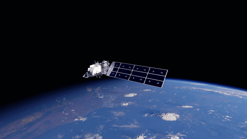
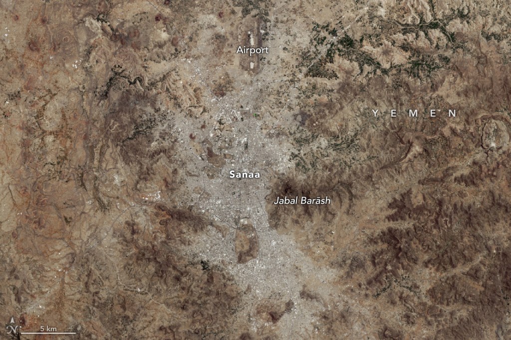
Since 1972, Landsat satellites have systematically documented our planet's changing surface, from shifting agricultural patterns and urban expansion to forest loss and coastal erosion. This continuous record provides scientists with invaluable data to understand long-term environmental change.
Benefits

Thousands of Americans are impacted each summer by excessive heat and humidity, some suffering from heat-related illnesses when the body…

Earth scientist Compton J. Tucker has been elected to the National Academy of Sciences for his work creating innovative tools…

Lee esta historia en español aquí. From the iconic image of Earthrise taken by Apollo 8 crew, to the famous Pale…

Every NASA mission represents a leap into the unknown, collecting data that pushes the boundaries of human understanding. But the…
As any urban dweller who has lived through a heat wave knows, a shady tree can make all the difference.…

Discover how Landsat data supports wildfire management, from spotting early fire risks to watching nature's recovery.