





























LEIA Stories

A modern satellite makes it possible to pursue the ancient tradition of leaf-peeping in a whole new way.
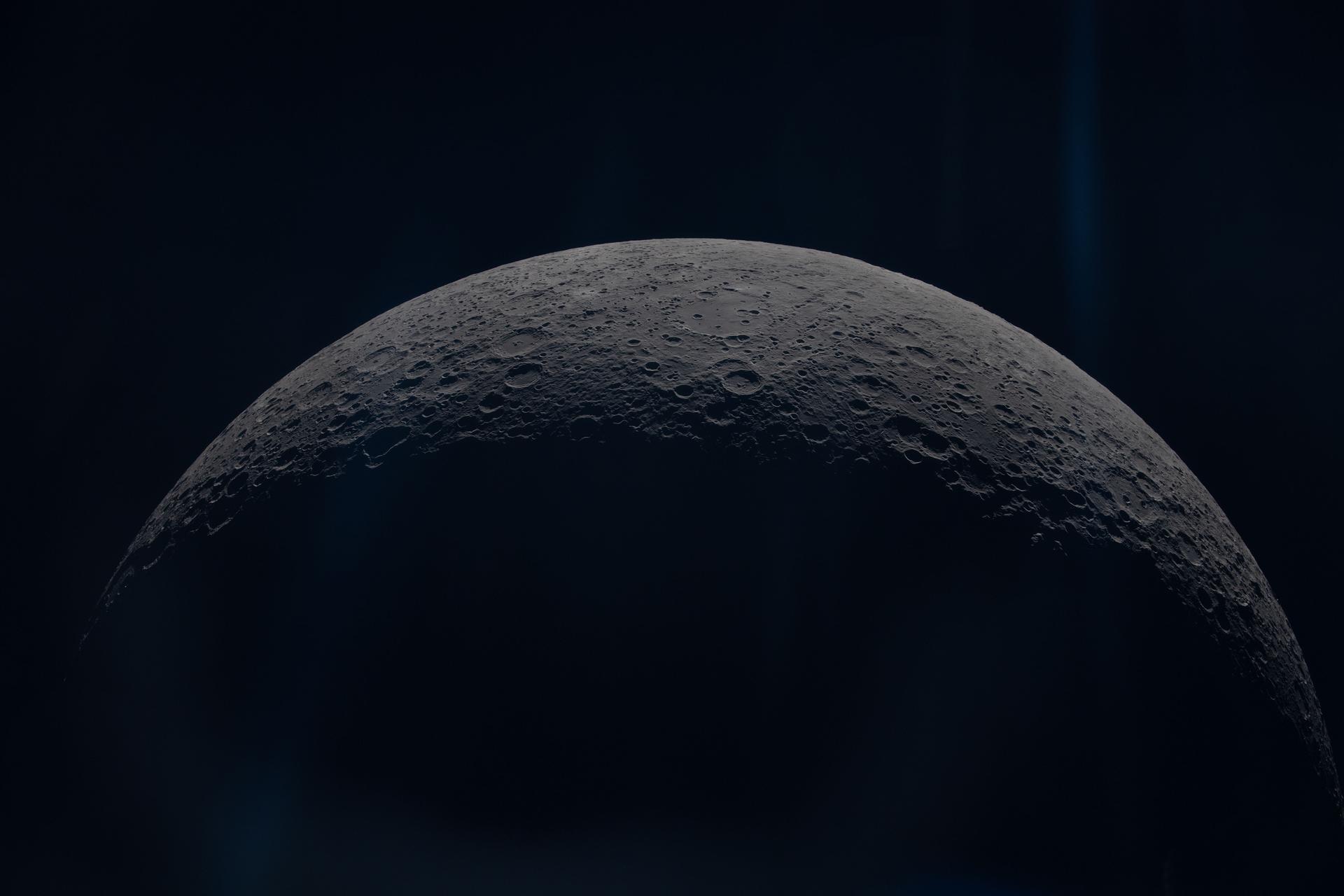
As NASA returns humans to the lunar surface and establishes a long-term presence on our closest celestial neighbor, the agency and commercial human landing system providers Blue Origin and SpaceX have streamlined the designs and changed both concepts of operations…

Before astronauts return to the lunar surface, NASA will first conduct one of the most ambitious and complex test missions in the agency’s history. Launching in 2027, Artemis III will send NASA astronauts Randy Bresnik, Frank Rubio, Andre Douglas, and…

NASA’s Neil Gehrels Swift Observatory has ended its science mission now that the spacecraft is orbiting less than 171 miles (275 kilometers) above Earth’s surface. The greater atmospheric drag at this height prevents the satellite’s telescopes from steadily gazing at…

NASA is helping to foster long-term energy security in Virginia. NASA’s Langley Research Center in Hampton, Virginia, is partnering with the Virginia Department of Energy to support informed decisions for effective energy generation, delivery and use by providing solar, meteorological,…
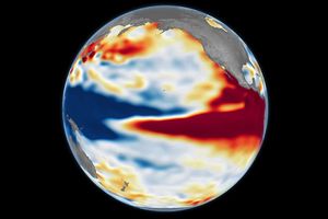
A 35-year satellite altimetry record lets scientists hold this year's El Niño up against its strongest predecessors.

This observation is one of many gravitational lensing images taken by Hubble in preparation for science with the new Nancy Grace Roman Space Telescope.
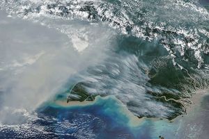
Emissions on both sides of the island are unusually high as human-set fires spread in a landscape parched by drought.
NASA Science wants to deliver science faster, so we’re changing how we compete and select missions. On Monday, October 26, we will host a virtual NASA Science Town Hall.

Interstellar probes. Lunar drones. Helicopters on Mars. When a group of Caltech graduate students and enthusiasts began conducting rocket-propulsion tests in Pasadena’s Arroyo Seco on Oct. 31, 1936, they had no idea that their work marked the inception of the…