


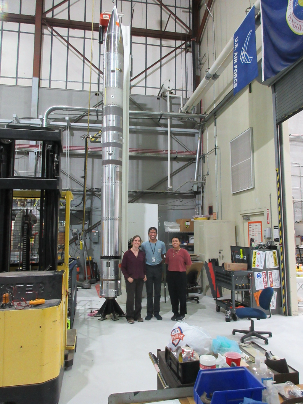


NISAR Stories

Lee esta historia en español aquí. From the iconic image of Earthrise taken by Apollo 8 crew, to the famous Pale Blue Dot image of Earth snapped by Voyager I spacecraft, to state-of-the-art observations of our planet by new satellites such…

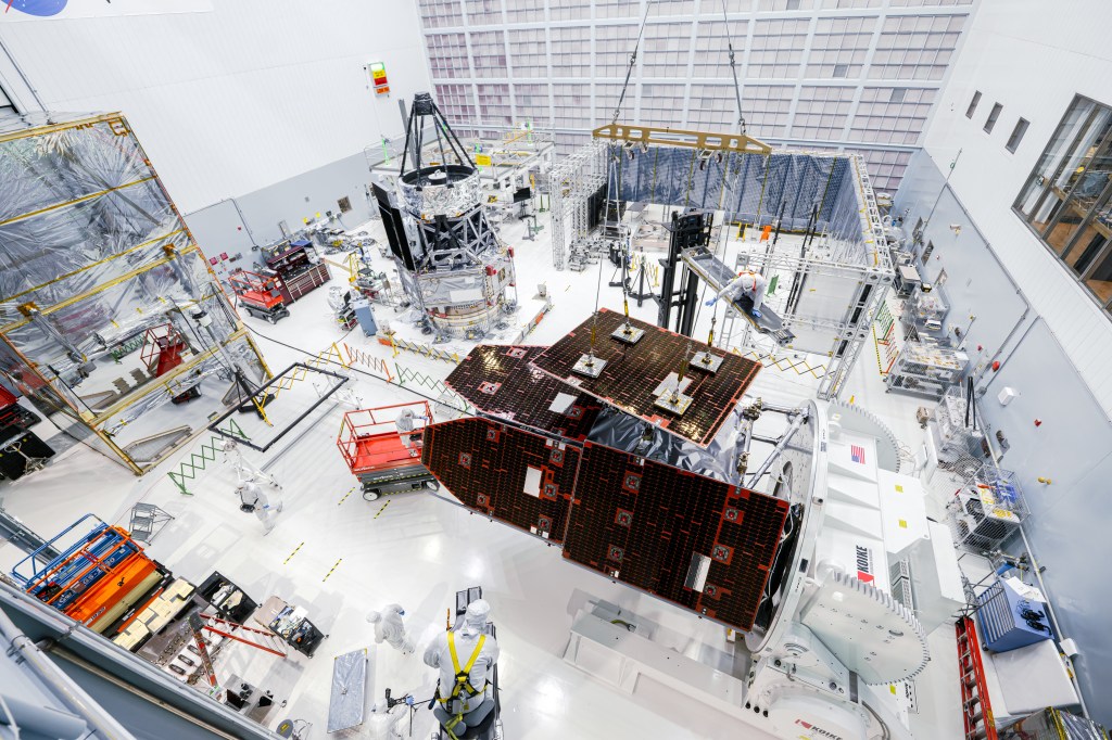
Work on the NISAR satellite has been completed at the Indian Space Research Organisation (ISRO) Satellite Integration and Testing Establishment in Bengaluru, and preparations are under way to transport it to the launch site at the agency’s Satish Dhawan Space…

Data from the NISAR satellite will be used to map crop growth, track plant health, and monitor soil moisture — offering detailed, timely information for decision making. When it launches this year, the NISAR (NASA-ISRO Synthetic Aperture Radar) satellite will…