4 min read
The most recent spacecraft telemetry was acquired on Aug. 17 from the Deep Space Network tracking complex at Canberra, Australia. The Cassini spacecraft is in an excellent state of health and all subsystems are operating normally. Information on the present position and speed of the Cassini spacecraft may be found on the "Present Position" page at: http://saturn.jpl.nasa.gov/mission/presentposition/.
Wednesday, Aug. 11 (DOY 223)
Beginning today, the first of a series of Command & Data Subsystem (CDS) flight software V10.0 patches was loaded to the solid state recorder (SSR) via a real time command spacecraft operations procedure.
Thursday, Aug. 12 (DOY 224)
A kickoff meeting was held for the S66 Sequence Implementation Process.
Port 1 for the first set of input files from the teams occurs August 30.
Saturn's moon Titan ripples with mountains, and scientists have been trying to figure out how they form. The best explanation, it turns out, is that Titan is shrinking as it cools, wrinkling up the moon's surface like a raisin. For more information on this subject, link to:
http://saturn.jpl.nasa.gov/news/cassinifeatures/feature20100812/
Friday, Aug. 13 (DOY 225)
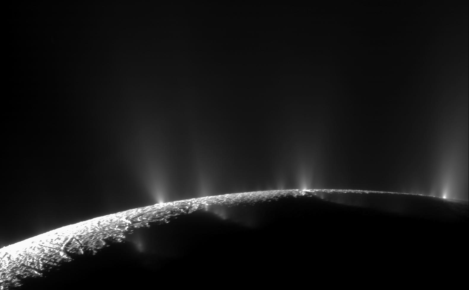
The Enceladus 11 (E11) encounter occurred at an altitude of 2,550 kilometers, a speed of 6.8 km/sec, and closest approach at 2010-225T22:29:42.33. The focus of the flyby was the study of thermal emission from the south polar tiger stripes. Because of the relatively high altitude, the spacecraft was able to track the moon throughout the flyby. The Composite Infrared Spectrometer (CIRS) had prime pointing control during closest-approach. The instrument mapped the thermal radiation from the tiger stripes, continuing coverage from previous flybys, and took advantage of the excellent viewing geometry of this flyby. In particular, CIRS focused on warm transverse fractures that connect the Alexandria and Cairo Sulci to study whether substantial heat is escaping from the interior in the regions between the tiger stripes. To close out this flyby, the Visual and Infrared Mapping Spectrometer collected compositional data, and then handed over to the Imaging Science Subsystem (ISS) for further imaging of Enceladus's sister satellite Tethys. For more information link to:
http://saturn.jpl.nasa.gov/mission/flybys/enceladus20100813/.
Sunday, Aug. 15 (DOY 227)
A test was performed today to determine whether the low-gain antenna could be used to acquire coherent Doppler data during Titan flybys for gravity study purposes while the spacecraft is being turned and the high-gain antenna is off Earth-point supporting acquisition of data by other instruments. There were three objectives for the test. First was to determine whether the spacecraft could maintain lock on the uplink carrier signal at Saturn ranges with the LGA moving and at significant off-Earth angles. This was the first time for Cassini to attempt two-way coherent tracking at Saturn ranges using the LGA. Next was to verify that the statistical noise on the Doppler data using the LGA was sufficiently small to be scientifically useful, and finally, to verify that the observed Doppler from the moving LGA could be connected to the center-of-mass of Cassini with any systematic errors small compared with the statistical noise. All data were successfully acquired and analysis is still ongoing, but initial results look favorable.
Monday, Aug. 16 (DOY 228)
Orbit Trim Maneuver 260, the clean up maneuver for the E11 flyby, was cancelled. The cost of cancellation was only about 10 mm/sec. Cancellation will require some pointing vectors to be updated, but there are approximately two weeks to accomplish this activity.
Tuesday, Aug. 17 (DOY 229)
This week's science included a number of observations by the instrument teams. CIRS observed Dione and then moved on to Enceladus, where it examined the plume. CIRS also measured the oxygen compounds in the stratosphere of Saturn for 13 hours. ISS took prime control of the spacecraft and captured further images of Enceladus's plume, took images of Dione, and also searched for a Dione plume. ISS performed another observation in its Satellite Orbit Campaign. The Magnetospheric and Plasma Science (MAPS) instruments collected data at their nominal survey rates, and the Magnetometer performed a seven-hour calibration while rolling about the X-axis of the spacecraft. ISS and CIRS completed another observation in the Titan monitoring campaign.


