T-72: Long Lasting Look
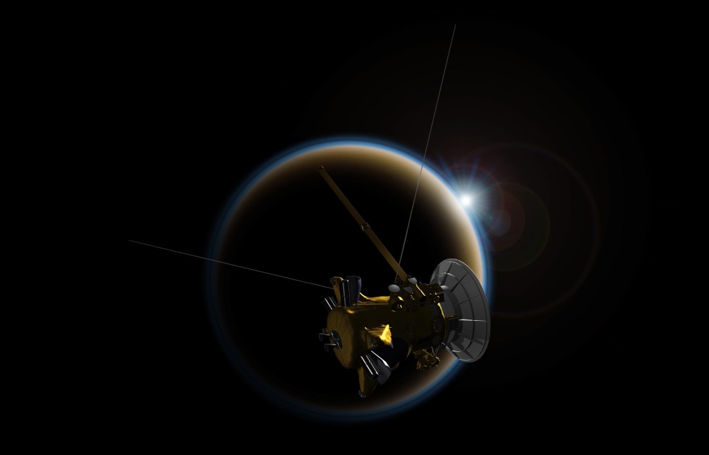
During this high altitude flyby (8,175 kilometers, or 5,080 miles, at closest approach), the visible and infrared mapping spectrometer (VIMS) mapped at a resolution of 5 kilometers (3 miles) per pixel an equatorial region of the trailing hemisphere known as Belet. The resulting mosaic will complement the mosaics obtained during T-66 and T-67. After closest approach, VIMS performed a global mapping of Titan looking for clouds at northern mid-latitudes and near the poles. The imaging science subsystem (ISS) rode along with VIMS throughout.
Titan Flyby at a Glance
Date
Sept. 24, 2010
Altitude
5,080 miles (8,175 km)
Speed
13,000 mph (5.7 km/sec)


