2 min read
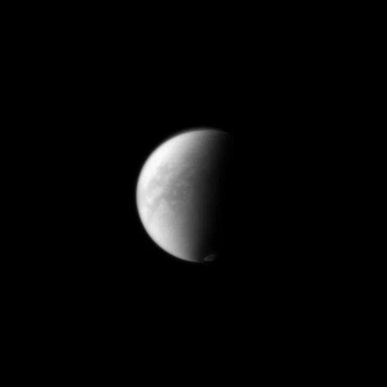
During its prime observation, the visible and infrared mapping spectrometer (VIMS) imaged Menrva, the western part of Xanadu, including Tui Regio, with resolution of at least three miles (five kilometers) per pixel. Then a challenging observation of Ontario Lacus was made before capturing a medium resolution (six mile [10 kilometer] per pixel) mosaic centered at southern mid-latitude south of Adiri, looking for surface and cloud evolution. The VIMS instrument was also looking for clouds at northern mid-latitudes that are expected to form during Titan’s spring season, according to global circulation models.
The composite infrared spectrometer (CIRS) performed complementary, high spectral resolution, limb integrations with both the mid and far infrared arrays. Both observations were situated at low northern latitudes, filling an important gap in recent spatial coverage. Limb aerosol and temperature radial measurements at the same location were also performed. In addition, CIRS made a northern scan to determine surface temperature variations with location and local time, and several far-infrared surface integrations including coverage of the enigmatic Xanadu region.
Cassini reaches its most steeply angled orbit in the entire Solstice Mission after the T-90 flyby. Starting with the T-91 flyby, the spacecraft's orbits will start flattening out, going from a dramatic 61 degrees (after T-90) to just over 40 degrees at T-100.
Date
April 5, 2013
Altitude
870 miles (1,400 km)
Speed
13,000 mph (5.8 km/sec)

