


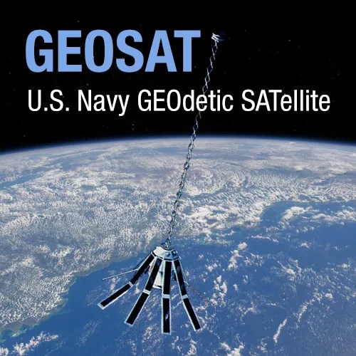
Geosat
U.S. Navy GEOdetic SATellite
Type
Launch
Target
Objective
The U.S. Navy GEOdetic SATellite, GEOSAT, was launched on 12 March 1985, into an 800-km, 108-deg inclination orbit, carried an altimeter that was capable of measuring the distance from satellite to sea surface with a relative precision of about 5 cm. After a classified mission for the Navy, GEOSAT's scientific Exact Repeat Mission (ERM) began on 8 November 1986 after it was manoeuvred into a seventeen-day repeat orbit. When the ERM ended in January 1990, due to failure of the two on board tape recorders, more than three years of precise altimeter data were available to the scientific community. During the ERM, GEOSAT was in a 17.05-day repeat orbit. In this orbit the satellite passes the same point on the Earth every 17.05 days, which offers the opportunity to determine the mean sea levels at these points containing information on the local gravity, and to study sea level changes containing information on ocean variability. The studies made on GEOSAT data are numerous and the GEOSAT data set is regarded as a milestone in both satellite oceanography and satellite geodesy.
Geosat was a US Navy satellite designed to measure sea surface heights to within 5 cm. After a one-and-a-half year long classified mission for the Navy, Geosat's scientific Exact Repeat Mission (ERM) began on November 8, 1986. When the ERM ended in January 1990 (due to failures of both on-board tape recorders), more than three years of precise altimeter data were available to the scientific community.
Spacecraft : Gravity gradient stabilized. Two tape recorders.
Payload : Radar altimeter to measure sea surface height.


