The Gran Chaco—South America’s second largest forest—is disappearing. Cattle ranching and soybean production are fragmenting the region’s Dry Chaco, a massive tropical dry forest spanning 87 million hectares across parts of Argentina, Paraguay, and Bolivia (larger than Texas and New York combined). Dry forests get less attention than their rainforest counterparts, but their degradation severely impacts biodiversity.
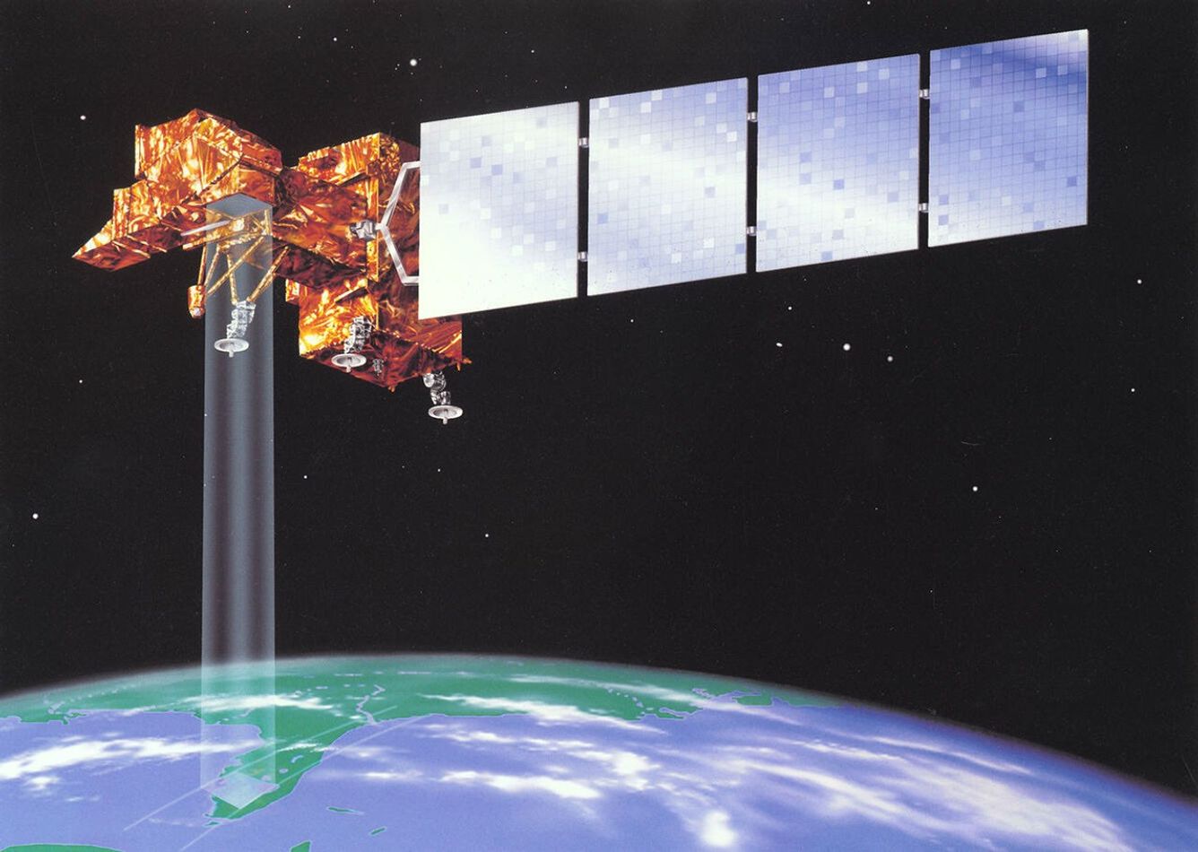
This animation shows the progression of deforestation in the Paraguayan Chaco from 1985 to 2025 using natural-color images from Landsat satellites. Research using Landsat imagery found that 27% of the Paraguayan Chaco disappeared between 1987 and 2012. Another study found that Dry Chaco forest cover decreased by 20.2% between 2000 and 2019, with Paraguay’s forest experiencing the highest levels of loss.
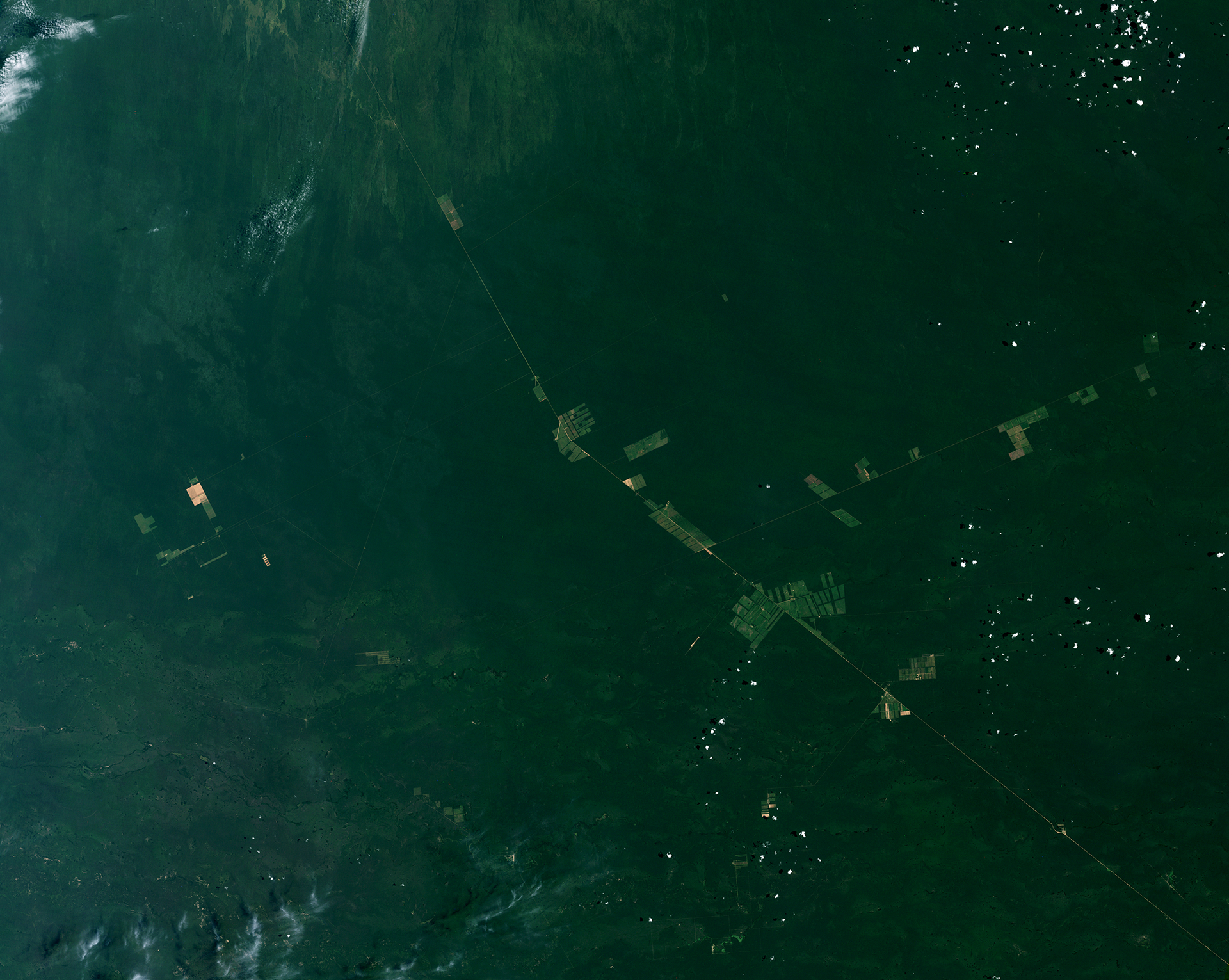


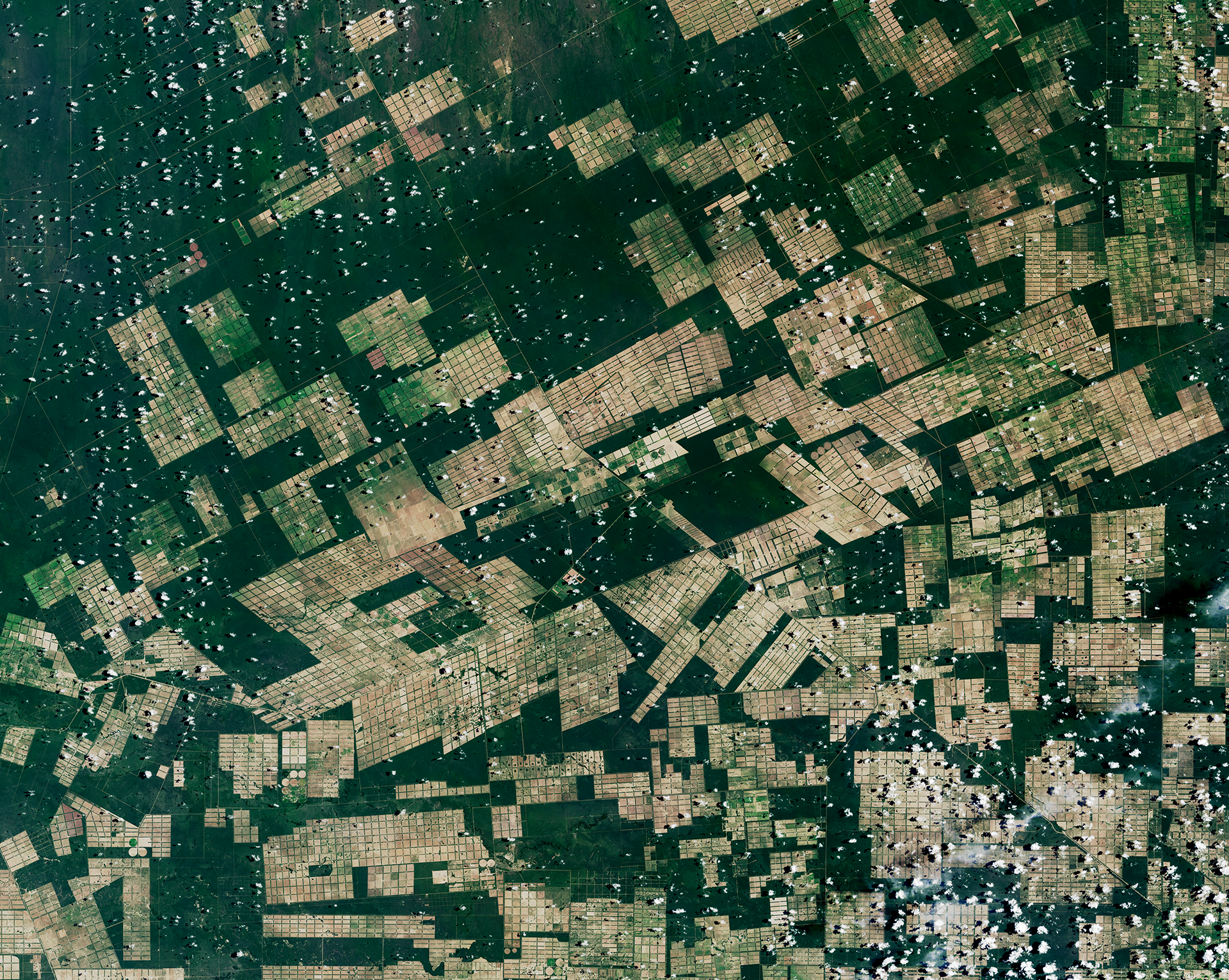
Before and After
Deforestation in Paraguay’s Gran Chaco
January 29, 1985 - February 12, 2025
Time series by Ross Walter, using data from Landsat 5, 7, 8, and 9. Caption by Madeleine Gregory.
Related Resources
- Landsat’s Role in Managing Forests
- Tracking Amazon Deforestation from Above
- Making Sense of Amazon Deforestation Patterns