At the 2025 American Geophysical Union Fall Meeting (AGU25), scientists and researchers from around the world met to discuss the present and future of remote sensing. The conference is the largest annual gathering of Earth and space scientists, and was held December 15-19 in New Orleans, Louisiana. Thousands of scientists, educators, and policymakers gathered at the New Orleans Ernest N. Morial Convention Center under the theme “Where Science Connects Us.”
NASA Landsat 8/9 Program Scientist Nima Pahlevan contributed to a session titled “Public Data, National Priorities: Unlocking Value with Landsat,” which focused on how Landsat’s free and open data can power innovation across private and public sectors. The session highlighted Landsat’s role in energy development, artificial intelligence, national security, and other key national needs. The panelists highlighted Landsat’s role as a foundational dataset, emphasizing the importance of its long historical record and reliable data for both scientific and operational applications. They noted specific applications of Landsat data, including wildfire preparedness, forest management, urban heat island analysis, and near real-time change detection, which contribute to the large economic value of the Landsat data record.
“Landsat is our historical record of the Earth's surface,” said David Roy, lead member of the 2026-2030 Landsat Science Team.
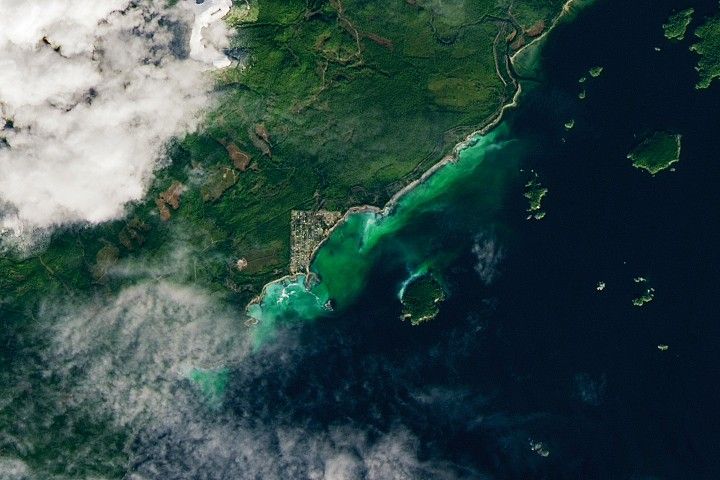
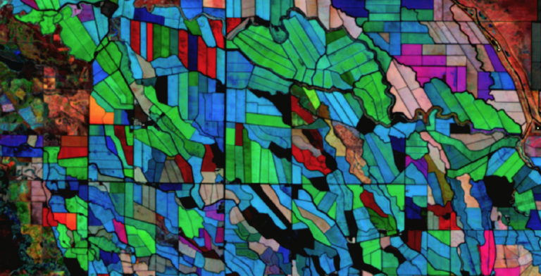
Harmonized Landsat and Sentinel-2 (HLS)—one of NASA’s most downloaded datasets—was highlighted in multiple posters at AGU25. Junchang Ju, technical science lead on the HLS project, presented recent milestones and a vision for the future of HLS, highlighting the improved 1.6 day temporal repeat of HLS Version 2.0 and the forthcoming low-latency product. Ju also presented research from Qiang Zhou, member of the GSFC HLS Team, that compared the HLS surface reflectance product to that of MODIS and found a high degree of consistency between the two. Margaret Wooten, member of the same Team, presented research that used HLS to evaluate crop type dynamics on small farms in sub-Saharan Africa dryland ecosystems. Leveraging the high temporal revisit of HLS, she analyzed how crop types change throughout dry and rainy seasons in a pilot site in southwest Niger.
Here are five other stand-out sessions from AGU25:
News from the National Land Imaging Program
Dan W. Opstal, deputy program coordinator of the National Land Imaging (NLI) Program in the U.S. Geological Survey presented on the transformative impact of the NLI Program, which leverages Landsat satellite data. Opstal highlighted how Landsat's superior radiometric precision and multi-decadal data archive serve critical federal needs including earthquake deformation analysis, drought monitoring, and Western U.S. snow monitoring. He also highlighted Landsat’s support for the LANDFIRE program, which provides federal agencies with vegetation analysis and estimates of wildfire fuel. He emphasized Landsat's unique capabilities for applications including critical mineral mapping and decisionmaking, while showcasing how the program is complemented by commercial satellite imagery. Opstal outlined Landsat’s planned future enhancements to address 21st-century challenges while maintaining consistent global acquisition, continuing and expanding on Landsat’s long legacy.
Landsat’s Global Land Monitoring Legacy
Matthew Hansen, head of the Global Land Analysis and Discovery lab at the University of Maryland, presented an analysis of Landsat's transformative journey and future challenges in Earth observation. Hansen’s lab develops influential global land surface change products, including the disturbance monitoring system DIST-ALERT using Harmonized Landsat and Sentinel-2 data. At AGU25, he discussed how the program’s value has increased over time through improved sensors, reduced revisit times, and the landmark 2008 decision to make all data freely available. He highlighted how NASA’s open data policy has enabled routine global-scale monitoring and facilitated breakthrough applications using deep learning algorithms that can process contextual information at unprecedented scales. Hansen also addressed critical concerns emerging from the expansion of data sources and algorithms, emphasizing the need for robust validation standards, model transparency, strategic integration of public and commercial Earth observation data, and sustained support for future Landsat missions to meet evolving societal needs.
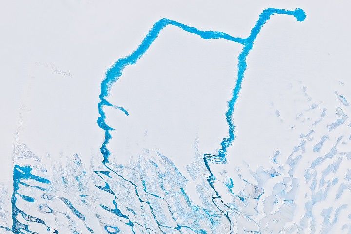
Over Four Decades of Glacier Tracking
Joseph H. Kennedy, staff scientist at the Alaska Satellite Facility at the University of Alaska Fairbanks, presented NASA's groundbreaking Inter-mission Time Series of Land Ice Velocity and Elevation (ITS_LIVE) Version 2.0 dataset, a global glacier velocity archive spanning over four decades. ITS_LIVE, a project from the NASA Making Earth System Data Records for Use in Research Environments (MEaSUREs) initiative, developed in collaboration with NASA scientists, has processed more than 36 million image pairs from Landsats 4-9 and Sentinel-1 and -2 satellites to track glacier movements since 1982. The cloud-native dataset processes over 20,000 image pairs daily within minutes of satellite image availability. ITS_LIVE plans to incorporate NISAR data as well, continuing to open new frontiers for glaciological research.
An Algorithm for Enhanced Flood Mapping
Son K. Do, a graduate research assistant at the University of Virginia, presented an innovative method for improving satellite-based flood mapping at AGU25. The study applies a water expansion algorithm called FLEXTH to NASA's Dynamic Surface Water Extent (DSWx) product, which leverages Harmonized Landsat and Sentinel-2 data to provide sub-weekly global surface water maps. NASA's OPERA Project developed DSWx in direct response to federal agency needs identified by the Satellite Needs Working Group. By estimating inundated areas based on elevation gradients, the research addresses the significant challenge of cloud and tree canopy obstructions that often result in incomplete flood assessments. Applying this algorithm to major flood events like the Midwest U.S. flooding of April 2025 showed promising results in expanding flood detection in cloudy or forested areas.
Building Better Disaster Response with Prithvi
Disha Shidham, research assistant at the Universities Space Research Association (USRA) at Moffett Field, presented research on automated building damage assessment using Prithvi-EO-2.0, a large-scale, multi-temporal Vision Transformer foundation model jointly developed by IBM, NASA, and Jülich Supercomputing Centre. The study demonstrates how the Prithvi model, originally trained on over 4.2 million Harmonized Landsat and Sentinel-2 scenes, can be fine-tuned to classify building damage levels using the xBD dataset, which contains 850,736 building annotations across diverse disaster events. Despite being trained on 30-meter resolution imagery, the model successfully adapts to sub-meter resolution optical data. This research highlights the transformative potential of large-scale geospatial AI models for near-real-time disaster response, offering automated damage estimation capabilities that could significantly enhance humanitarian assistance and recovery efforts following natural disasters.