![Request for Information – Potential [Placeholder for Prize]](https://assets.science.nasa.gov/dynamicimage/assets/science/psd/solar/2023/09/s/solarsystem_0.jpg?w=1024)


Earth planning date: Monday, April 22, 2024
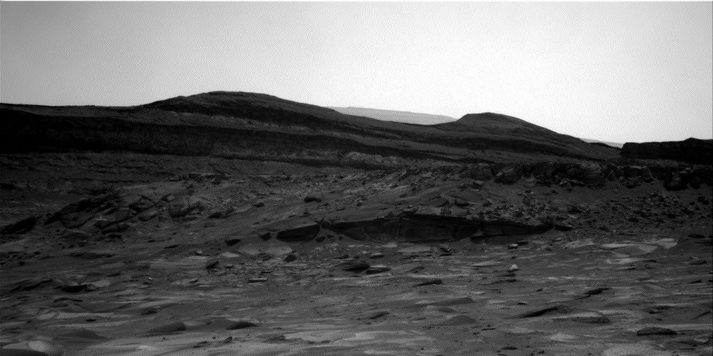
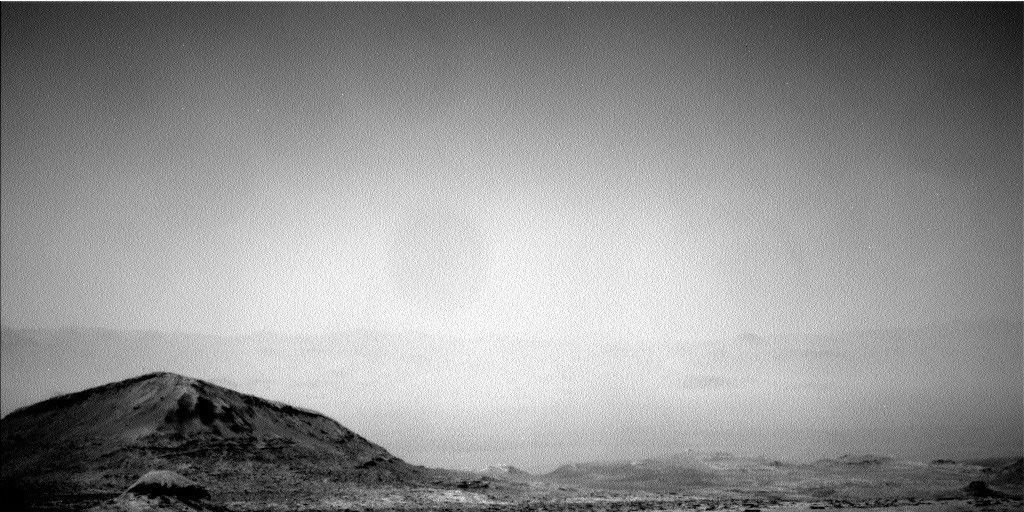
Curiosity succeeded on a ~14 m drive along a bend in upper Gediz Vallis ridge (uGVR) to park next to “Pinnacle Ridge,” an outcrop of uGVR to the north. Benefitting from a surplus in power, Curiosity's already substantial targeted science block was extended to 2 hours. This allowed for the perfect imaging opportunity to look back and investigate the ridge deposits between “Pinnacle Ridge” and “Fascination Turret,” an outcrop of uGVR to the south. In other words, most of the imaging opportunities in this two-sol plan will be spent documenting what’s just around the ridge-bend with a detailed Mastcam stereo-mosaic and two ChemCam Long Distance RMI mosaics.
Today I served as Keeper of the Plan for the Geology and Mineralogy Theme Group, where I was kept busy recording all of the geology related requests from the instrument teams. The first sol involved planning contact science on a nearby dark-toned float block, “Sluggo Pass,” possibly originating from Gediz Vallis ridge. The composition and sedimentary textures of “Sluggo Pass” will be investigated with the Alpha Particle X-Ray Spectrometer (APXS), a ChemCam passive raster, and the Mars Hand Lens Imager (MAHLI). While constraints prevented brushing “Sluggo Pass” with the Dust Removal Tool (DRT), the target appeared to be relatively dust-free. The rest of the science plan on the first sol includes a ChemCam Laser-Induced Breakdown Spectroscopy (LIBS) targeting a dark-toned coating on light-toned bedrock, dubbed 'South Lake,' and two small Mastcam mosaics on blocks possibly associated with “Pinnacle Ridge.”
After a planned ~31 m drive from our current location, the focus of the second sol of the plan will be on untargeted remote science. This includes one of ChemCam’s automated AEGIS (Autonomous Exploration for Gathering Increased Science) activities where geological targets are automatically selected from the rover’s navigation cameras for analysis with ChemCam. Additionally, environmental activities were also planned, including tau observations to assess the amount of dust in the atmosphere and Mastcam deck monitoring activities to assess the amount of dust accumulated on the rover deck.
Written by Amelie Roberts, Graduate Student at Imperial College London