


Description
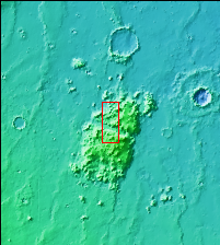
Context image
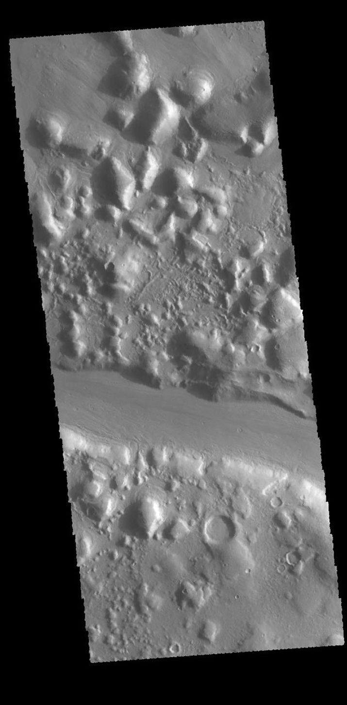
Today's VIS image shows an elevated group of hills east of Phlegra Montes. This highland is divided by a linear channel that is most likely of tectonic origin.
Orbit Number: 61195 Latitude: 31.5513 Longitude: 167.142 Instrument: VIS Captured: 2015-09-30 13:26
Please see the THEMIS Data Citation Note for details on crediting THEMIS images.
NASA's Jet Propulsion Laboratory manages the 2001 Mars Odyssey mission for NASA's Science Mission Directorate, Washington, D.C. The Thermal Emission Imaging System (THEMIS) was developed by Arizona State University, Tempe, in collaboration with Raytheon Santa Barbara Remote Sensing. The THEMIS investigation is led by Dr. Philip Christensen at Arizona State University. Lockheed Martin Astronautics, Denver, is the prime contractor for the Odyssey project, and developed and built the orbiter. Mission operations are conducted jointly from Lockheed Martin and from JPL, a division of the California Institute of Technology in Pasadena.


