


Description
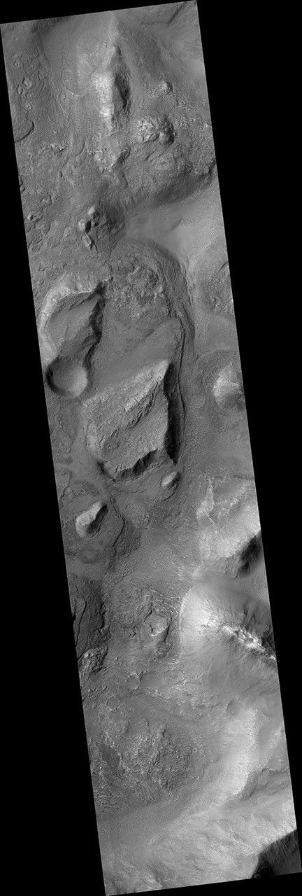
Map Projected Browse Image
Click on image for larger version
| The map is projected here at a scale of 50 centimeters (19.7 inches) per pixel. [The original image scale is 54.5 centimeters (21.5 inches) per pixel (with 2 x 2 binning); objects on the order of 164 centimeters (64.6 inches) across are resolved.] North is up. |
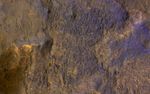
This image from NASA's Mars Reconnaissance Orbiter (MRO) shows chaos terrain on Mars' equator.
The University of Arizona, Tucson, operates HiRISE, which was built by Ball Aerospace & Technologies Corp., Boulder, Colorado. NASA's Jet Propulsion Laboratory, a division of Caltech in Pasadena, California, manages the Mars Reconnaissance Orbiter Project for NASA's Science Mission Directorate, Washington.


