


![Request for Information – Potential [Placeholder for Prize]](https://assets.science.nasa.gov/dynamicimage/assets/science/psd/solar/2023/09/s/solarsystem_0.jpg?w=1024)


Description
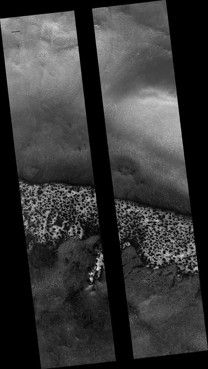
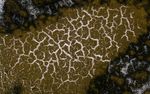
Map Projected Browse Image
Click on image for larger version
This image shows a field of sand dunes in the Martian springtime while the seasonal carbon dioxide frost is sublimating into the air. This sublimation process is not at all uniform, instead creating a pattern of dark spots.
In addition, the inter-dune areas are also striking, with bright frost persisting in the troughs of polygons. Our enhanced-color cutout is centered on a brownish-colored inter-dune area.
The map is projected here at a scale of 50 centimeters (19.7 inches) per pixel. (The original image scale is 50.7 centimeters [20.0 inches] per pixel [with 2 x 2 binning]; objects on the order of 152 centimeters [59.8 inches] across are resolved.) North is up.
The University of Arizona, in Tucson, operates HiRISE, which was built by Ball Aerospace & Technologies Corp., in Boulder, Colorado. NASA's Jet Propulsion Laboratory, a division of Caltech in Pasadena, California, manages the Mars Reconnaissance Orbiter Project for NASA's Science Mission Directorate, Washington.


