


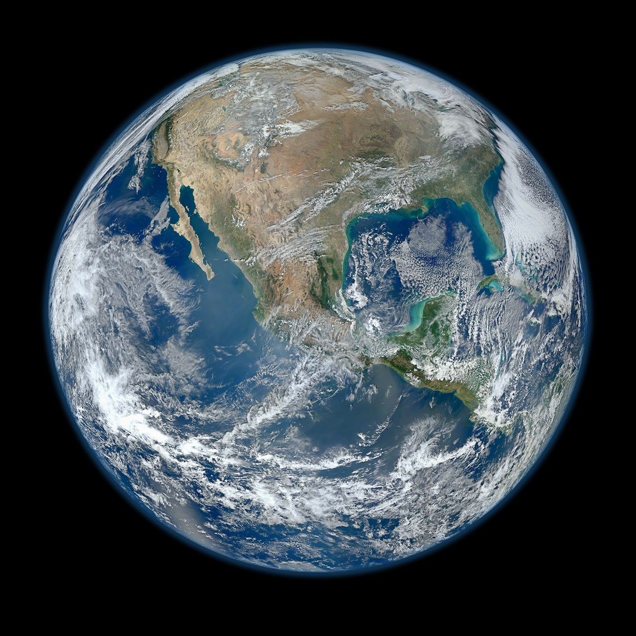
Earth Gallery
Catalog of images, videos, and animations of Earth.
Latest Earth Content
Stay up-to-date with the latest content about the Earth from Photojournal
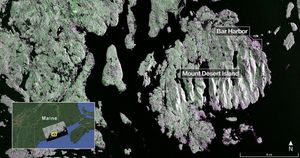
Captured on Aug. 21, 2025, this image from NISAR's L-band radar shows Maine's Mount Desert Island.
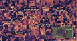
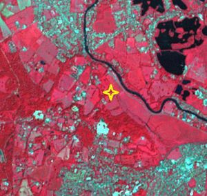
On Aug. 23, 2025, NISAR imaged land adjacent to northeastern North Dakota's Forest River.

NASA's Psyche spacecraft captured images of Earth and our Moon from about 180 million miles (290 kilometers) away in July…

The SWOT satellite caught the leading edge of the tsunami wave that rolled through the Pacific Ocean on July 30,…
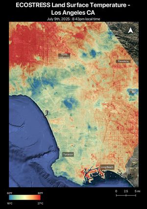
A short-lived heat wave that hit the Los Angeles area the week of July 7, 2025, was the first of…
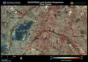
Data from NASA's ECOSTRESS instrument aboard the International Space Station shows Paris was one of many European cities hit by…
NISAR will track wetland flooding to study how these carbon-rich ecosystems are reacting to climate change. It will generate images…
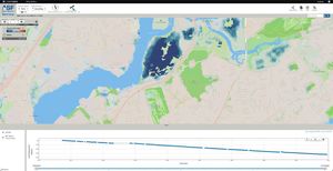
NASA, along with the Jet Propulsion Laboratory, is collaborating with the Alaska Satellite Facility to create a powerful web-based tool…
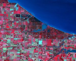
NASA's Terra spacecraft shows Magee Marsh Wildlife Area, located in northwest Ohio along the shores of Lake Erie.
NASA's Terra spacecraft shows Mackinac Island, Michigan, a small island off the northern coast of Lake Huron.
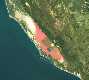
NASA's Terra spacecraft shows Hutt Lagoon, an elongate lake, located in a dune swale adjacent to the coast of the…
At one of the Mount Vernon, Alabama, fires, firefighters used AVIRIS-3 maps to determine where to establish fire breaks beyond…
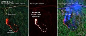
As firefighters worked to prevent a wildfire near Perdido, Alabama, they saw in an infrared fire map from NASA's AVIRIS-3…
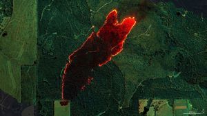
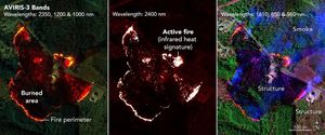
NASA's AVIRIS-3 airborne imaging spectrometer was used to map a wildfire near Castleberry, Alabama, on March 19, 2025. Within minutes,…
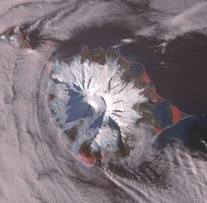
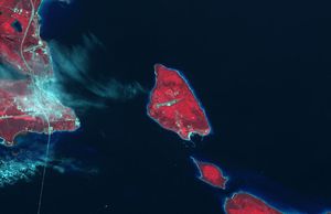
NASA's Terra spacecraft shows Heard, a remote volcanic island located in the southern Indian Ocean. It is an Australian Territory.
NASA's Terra spacecraft shows Runnymede meadow, a short drive from Windsor, England, west of London, near the Thames.
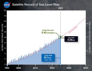
This graph shows global mean sea level (in blue) since 1993 as measured by a series of five satellites. The…
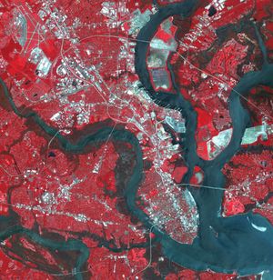
NASA's Terra spacecraft shows Charleston, the largest city in South Carolina, with almost 1 million people.


