


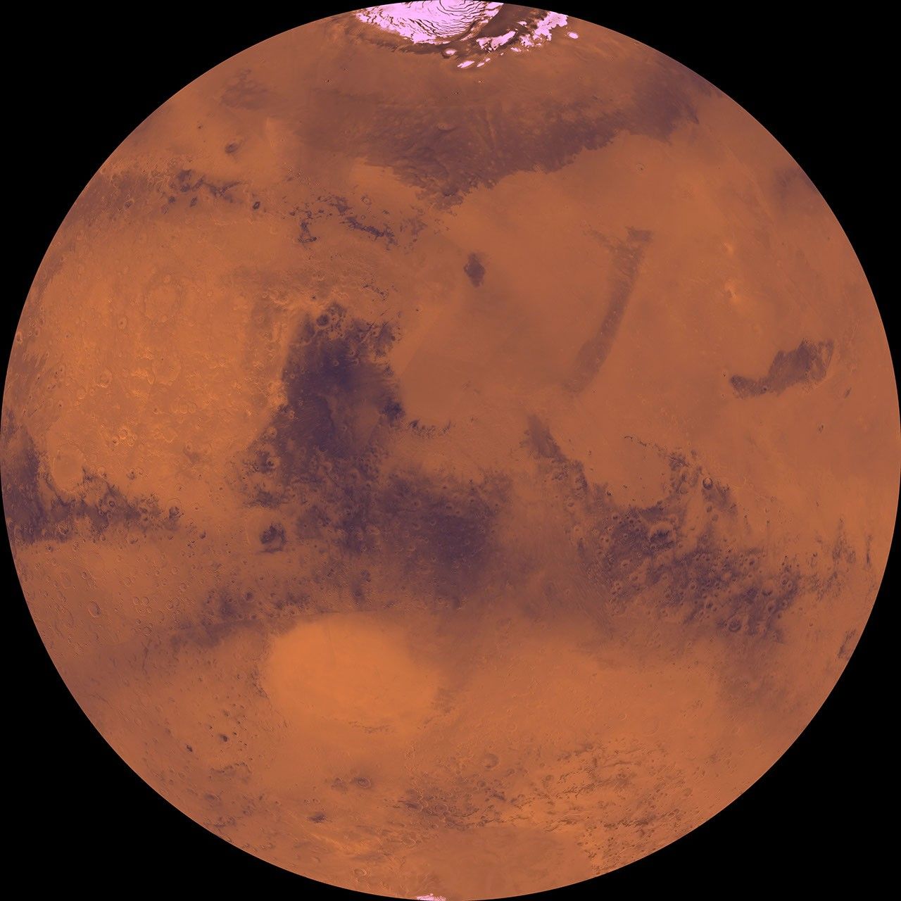
Description
The coordinates of the Lambert azimuthal equal area projection are latitude 90 degrees N. to 90 degrees S. and longitude -180 degrees to 0 degrees. The north polar residual ice cap of the Planum Boreum region, which is cut by spiral-patterned troughs, is located at top. The upper part is marked by large depression, Isidis basin, which contains light-colored plains. The upper part also includes the light-colored smooth plains of Elysium Planitia and dark plains of Vastitas Borealis. Together, these form a vast expanse of contiguous plains. Toward the bottom, on the other hand, the southern hemisphere is almost entirely made up of heavily cratered highlands. Toward the bottom, a conspicuous, relatively bright circular depression marks the ancient large Hellas impact basin.


