


Description
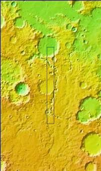
Context image
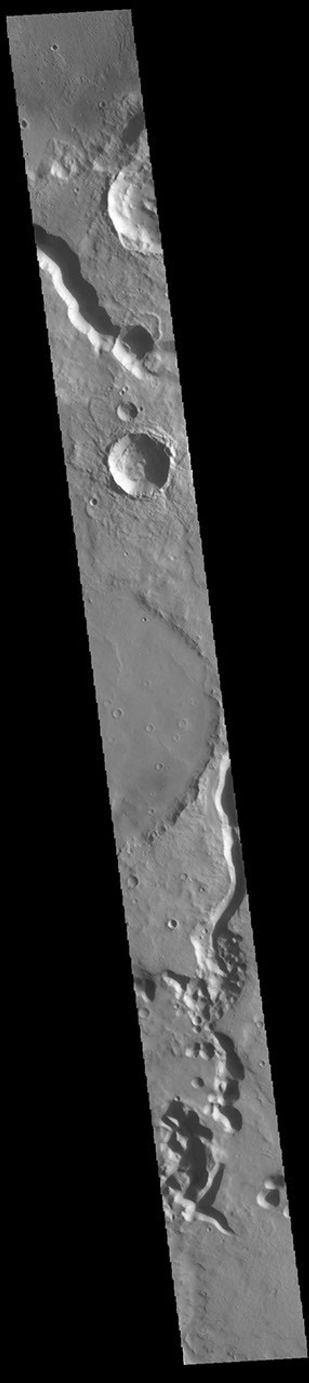
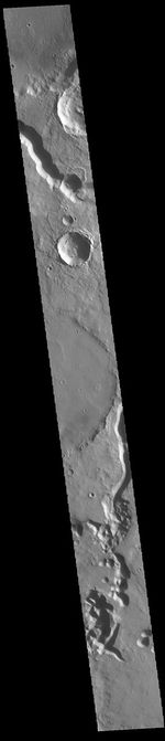
The channels at the top and bottom of this VIS image are different sections of Tinto Vallis. This northward flowing channel is 180 km (112 miles) long and is located in northern Hesperia Planum. Tinto Vallis arises in the plains of Hesperia Planum and empties into Palos Crater (visible at the top of the image).
Orbit Number: 88606 Latitude: -4.34333 Longitude: 111.244 Instrument: VIS Captured: 2021-12-05 02:55
Please see the THEMIS Data Citation Note for details on crediting THEMIS images.
NASA's Jet Propulsion Laboratory manages the 2001 Mars Odyssey mission for NASA's Science Mission Directorate, Washington, D.C. The Thermal Emission Imaging System (THEMIS) was developed by Arizona State University, Tempe, in collaboration with Raytheon Santa Barbara Remote Sensing. The THEMIS investigation is led by Dr. Philip Christensen at Arizona State University. Lockheed Martin Astronautics, Denver, is the prime contractor for the Odyssey project, and developed and built the orbiter. Mission operations are conducted jointly from Lockheed Martin and from JPL, a division of the California Institute of Technology in Pasadena.


