


Description
Map Projected Browse Image
Click on image for larger version
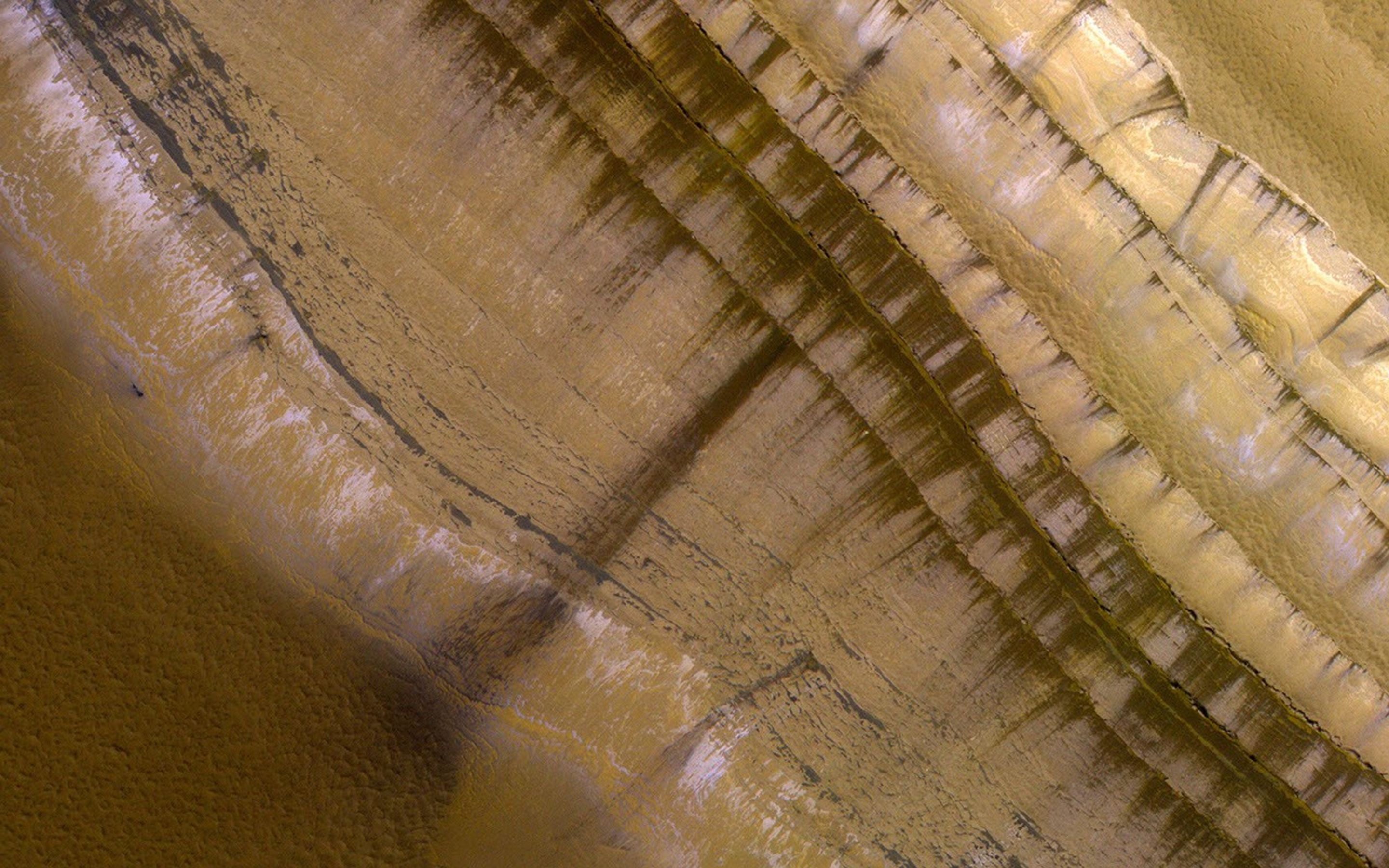
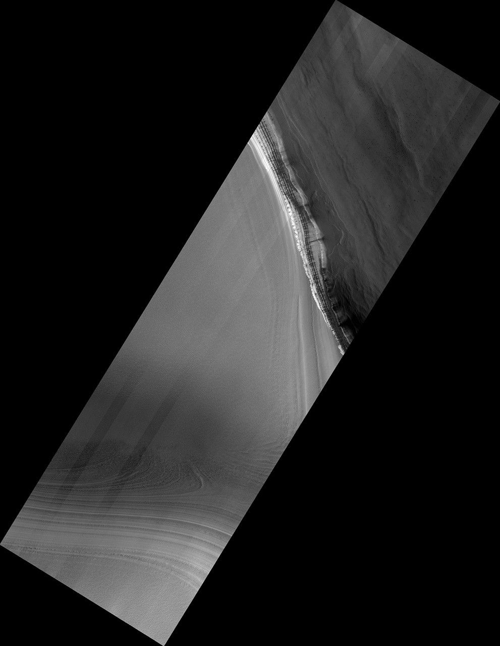
This image shows the very steep outer scarp of the north polar layered deposits. Every year there is a lot of slope activity in the springtime when sunlight warms these slopes.
In this image we can see many dark streaks extending down the slope, but no sign yet of larger avalanches that were common in past years.
The map is projected here at a scale of 50 centimeters (19.7 inches) per pixel. (The original image scale is 63.8 centimeters [25.1 inches] per pixel [with 2 x 2 binning]; objects on the order of 191 centimeters [75.2 inches] across are resolved.) North is up.
The University of Arizona, in Tucson, operates HiRISE, which was built by Ball Aerospace & Technologies Corp., in Boulder, Colorado. NASA's Jet Propulsion Laboratory, a division of Caltech in Pasadena, California, manages the Mars Reconnaissance Orbiter Project for NASA's Science Mission Directorate, Washington.


