Visualization and Mapping
Filters

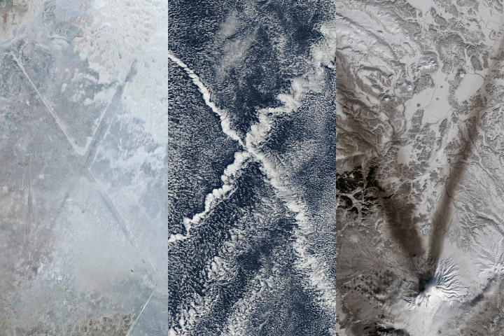
Following a significant winter storm, frigid temperatures lingered in late January 2026 across a vast swath of the U.S.
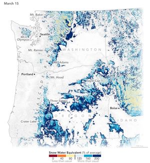
A warm and dry spring in the Pacific Northwest quickly depleted the seasonal snowpack, raising concern over summer water supplies…
We are kicking off 2025 with much to look forward to but also much to look back on.
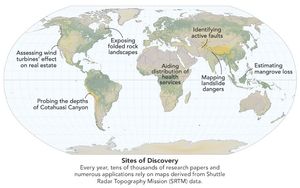
Elevation data collected during a space shuttle mission in 2000 continues to inform science and society in unexpected ways.

It took feats of engineering and deft piloting to map the planet’s topography, an achievement that continues to pay dividends…

There have been two rounds of voting in Tournament Earth, and two rounds of upsets. What surprises await in round…
As people have changed their everyday behaviors to contain or avoid the coronavirus, there have been subtle effects on the…
Since its launch on the web in April 1999, NASA Earth Observatory has published more than 15,500 image-driven stories about…
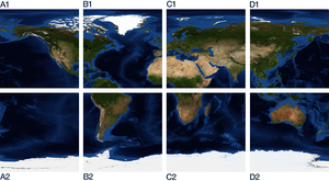
Some of our higher resolution global imagery are provided as individual tiles to facilitate easier downloading and manipulation.