Implementing place-based and data-rich instruction requires navigating a complex tug-of-war between place, data, phenomena, science, and a variety of other foci. Supporting teachers to navigate their place-based, data-rich journeys using NASA resources presents incredible opportunities for linking locally relevant issues, experiences, and data to global phenomena while simulataneously building data literacy.
The NASA Science Activation program's PLACES (Place-Based Learning to Advance Connections, Education, and Stewardship) project team successfully led their second Professional Learning (PL) Summer Institute (SI) at the Gulf of Maine Research Institute (GMRI) in Portland, Maine from August 5-7, 2025.

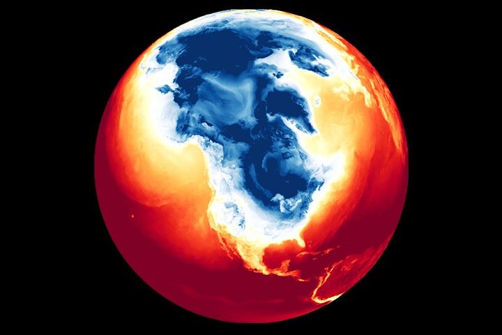
Twelve educators from across Maine and New Hampshire returned for a second summer to experience a wide range of activities that used NASA resources for collecting and analyzing primary and secondary data to explore locally and globally relevant phenomena (e.g. extreme heat, ecology, history). Teachers were asked to develop a plan for implementing a new place-based, data-rich lesson sequence using a NASA resource for their upcoming school year.
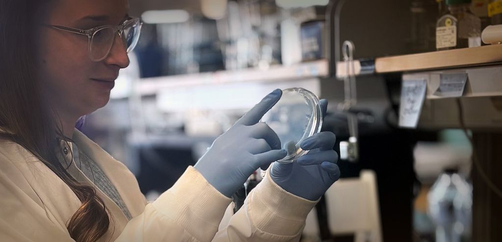
During the three-day PL, teachers built off of their data-rich conversations about the intersection of place and data from participating in last year’s institute and year-long Community of Practice through a mix of indoor and outdoor activities. Inside GMRI, teachers used analog (e.g. printed Earth System Data Explorer [ESDE] graphs) and digital (e.g. the NASA Prediction Of Worldwide Energy Resources [POWER] CODAP [Ocean Data Analysis Project dataset plugin) resources to explore the stories that can be told with and across different data sources and discussed instructional trade-offs of how, when, and why they would work with different NASA resources. Outside, in locations such as the Atlantic Ocean, the Fore River estuaries, and at Jewell Falls, teachers honed their primary data collection skills using GLOBE (Global Learning and Observations to Benefit the Environment) protocols for water quality and resources from the GLOBE Water Tent.
In their upcoming school year, participating teachers plan to address a variety of topics, including urban heat islands, ecology, biodiversity, water quality, and the Earth's changing climate (e.g. sea level rise, extreme heat) using a mix of NASA resources and datasets ranging from the NASA POWER plugin in CODAP, ESDE, Vital Signs, GLOBE protocols, and Data Literacy Cubes from My NASA Data.
PLACES team members are excited to continue supporting teachers as they implement their place-based, data-rich lessons in the 2025-2026 school year and would like to give a huge shout-out to those who contributed to planning, developing, and implementing the 2025 GMRI Summer Institute!
Facilitation Team: Sara Salisbury (WestEd), Robin Lea (GMRI), Karen Lionberger (WestEd)
Support Team: Catherine Bursk (GMRI), Angie Rizzi (My NASA Data), Jessica Taylor (NASA Langley Research Center), Meggie Harvey (GMRI), Leticia Perez (WestEd),
Special Guest: Beth Young (University of New Hampshire, GLOBE)
Observers: Kirsten Daehler (WestEd), Leigh Peake (GMRI)
The NASA Science Activation program's PLACES project is supported by NASA under cooperative agreement award number 80NSSC22M0005 and is part of NASA's Science Activation Portfolio. Learn more about how Science Activation connects NASA science experts, real content, and experiences with community leaders to do science in ways that activate minds and promote deeper understanding of our world and beyond: https://science.nasa.gov/learn/about-science-activation/.


