2 min read

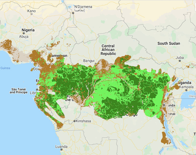
When assessing the world’s tropical forests, size isn’t the only thing that matters. NASA’s high-resolution satellite data now allow scientists to measure forest quality by tree height, forest canopy thickness, and disturbances from logging, fires, and more.
Beyond being some of the world’s most species-rich environments, tropical forests also play a crucial role in fighting climate change by absorbing carbon dioxide from the atmosphere. That has led conservation groups and governments to create maps showing both extent and quality of forests. According to research using NASA satellite data, despite roughly half of all tropical forests qualifying as “high quality,” only 6.5% of them currently have formal protections against logging, hunting, and other human threats. The United Nations Development Programme is using these maps in their decision-making.
At the 2021 U.N. Biodiversity Conference, currently scheduled for October, 196 countries will set global biodiversity priorities for the next 30 years. With access to more detailed information on forest health than ever before, researchers have an opportunity to work with government leaders to set realistic targets and establish closer monitoring over the coming decade.
Learn more about how NASA satellite data can help detect and protect tropical forests in the story, Pinpointing Tropical Forests with High Ecological 'Quality.'


