2 min read
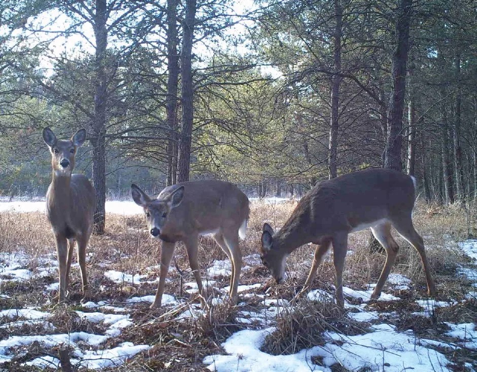
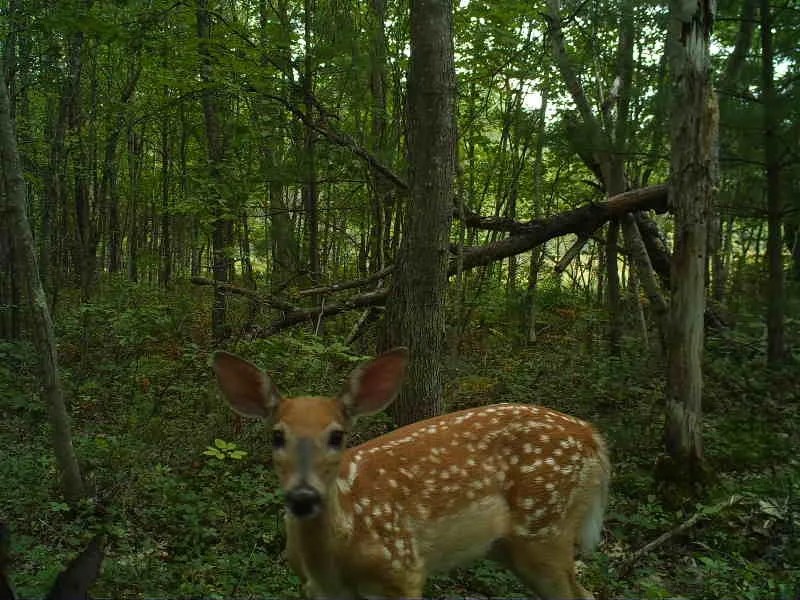
Snapshot Wisconsin is a partnership to monitor wildlife year-round, using a statewide network of trail cameras. Citizen scientists help discover wildlife by classifying images captured on trail cameras. The project provides data needed for wildlife management decision support at the Wisconsin Department of Natural Resources. Additionally, Snapshot Wisconsin provides an exclusive opportunity for individuals, families, and students to get involved in monitoring the state’s valuable natural resources!

Earlier this month, Snapshot Wisconsin released a new data visualization tool. The tool is called the Data Dashboard and is a major step towards bringing the project full circle. The Data Dashboard offers volunteers and the public a new way to explore our Wisconsin wildlife species – how species are spread across the state, when they are most active and how many sightings Snapshot has observed in a given area—you can choose which data you want to visualize! At launch, the data for 18 animal species is available to explore, including how active species are during different times of the day and year and how the species are spatially distributed across the state. Data can be viewed for specific counties or statewide, and the data from maps and graphs can even be downloaded to share with others.

NASA’s Citizen Science Program:
List of current NASA citizen science projects
Follow us on Twitter
Follow us on Facebook


