Iceland: "Team Lava"
You're exploring a collection of snapshots from the Goddard Instrument Field Team's 2025 expedition in Southwest Iceland.
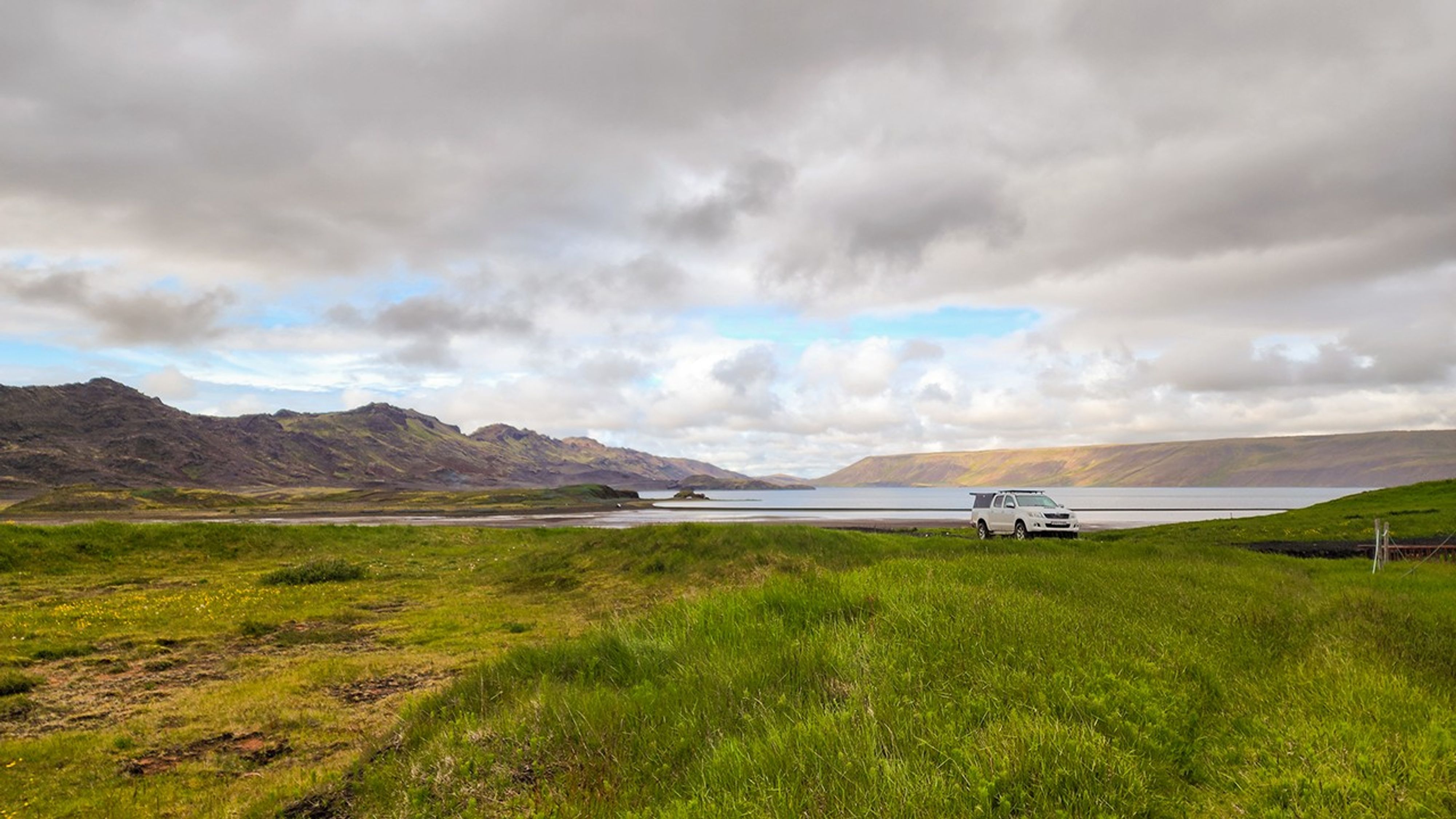
"Team Lava" | Fagradsfjall
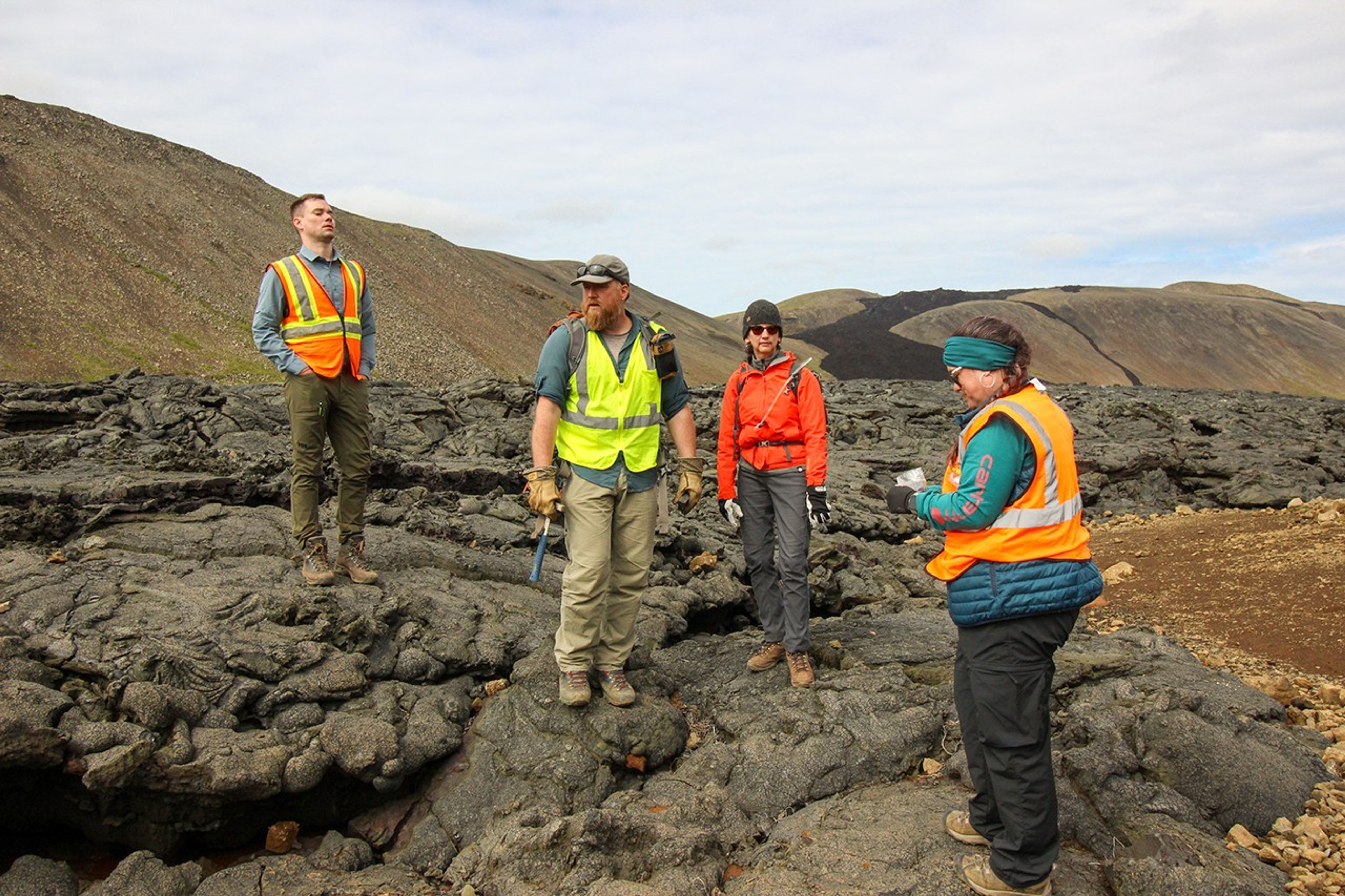
Team Lava took shape on the rugged slopes of Fagradalsfjall, near Grindavík, where fresh volcanic vents and lava flows tell a story only a few years old. The team set out to study how these vents form and change over time, with an eye toward comparing them to similar volcanic features spotted on Mars and the Moon. By using Iceland's eruption reports as a detailed record of what happened when, Principal Investigator Patrick Whelley hopes to link vent shapes and lava flow patterns to planetary processes, offering a rare window into how other worlds release heat and reshape their surfaces.
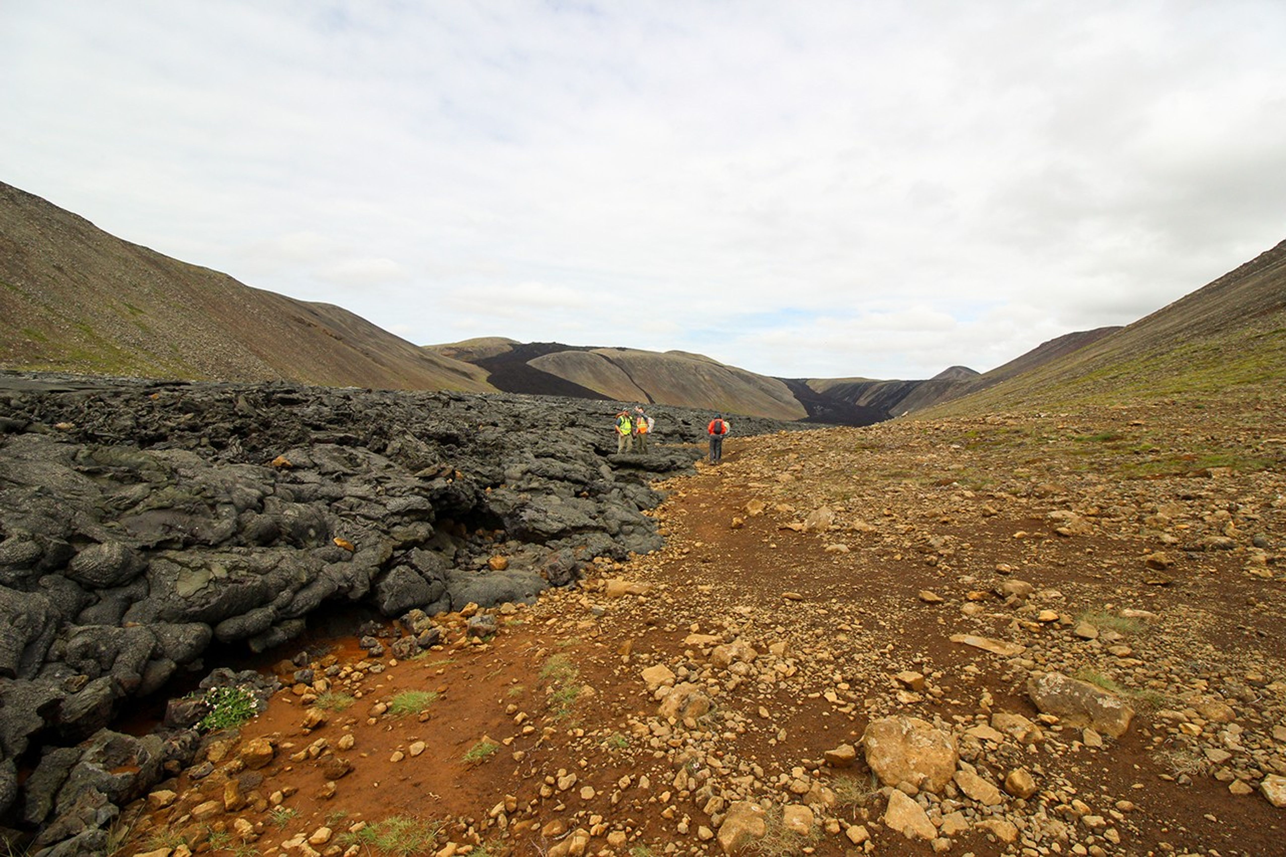
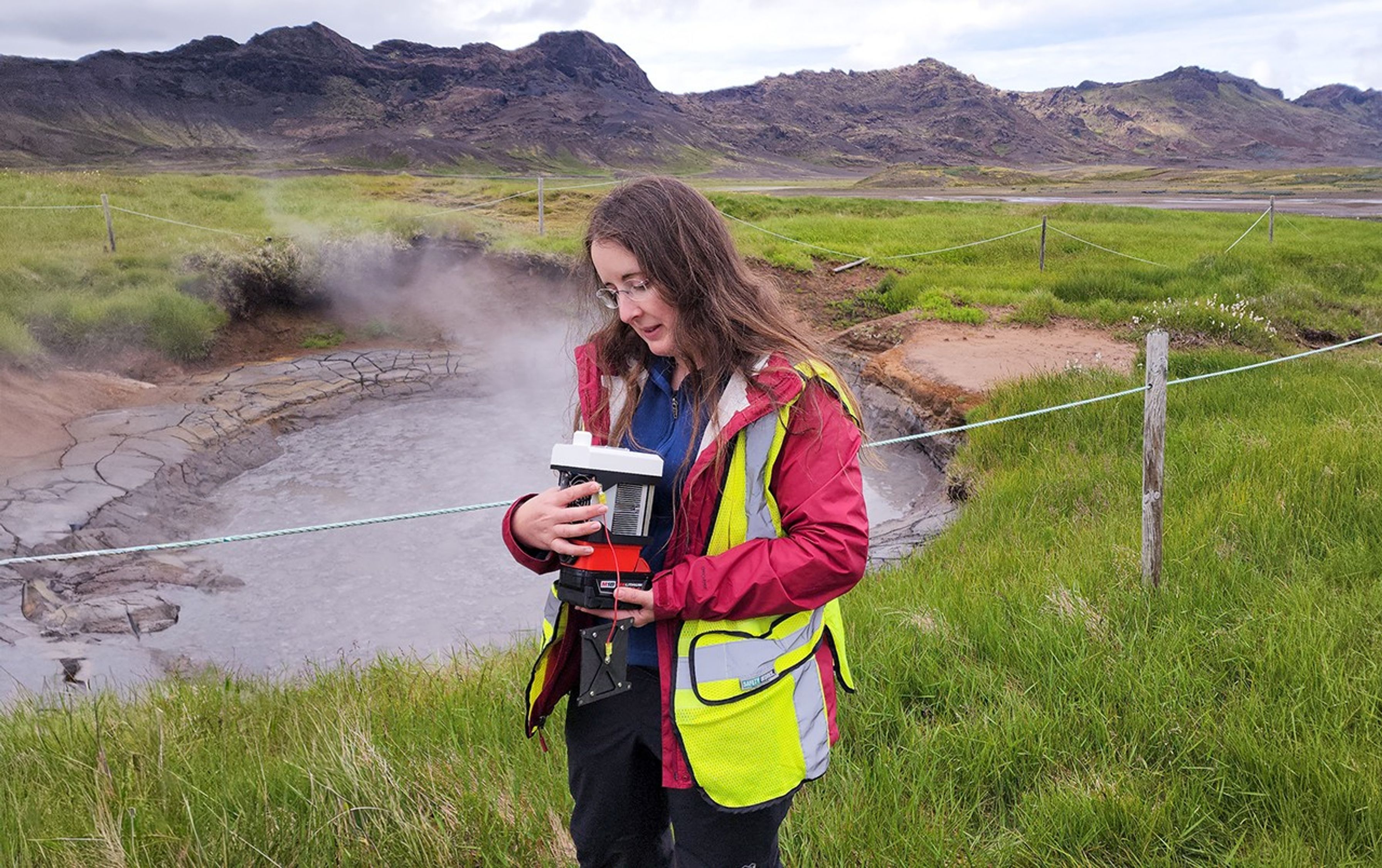
Getting those insights meant putting in some serious miles. The team hiked through rough terrain with heavy gear to map the landscape in detail. From above, Stephen Scheidt used drones to capture images of the landscape. This photos were then used to produce topographic models of the vents and rockslides, as well as thermal maps that reveal lingering heat beneath the surface, sometimes still warm years after the eruptions ended.
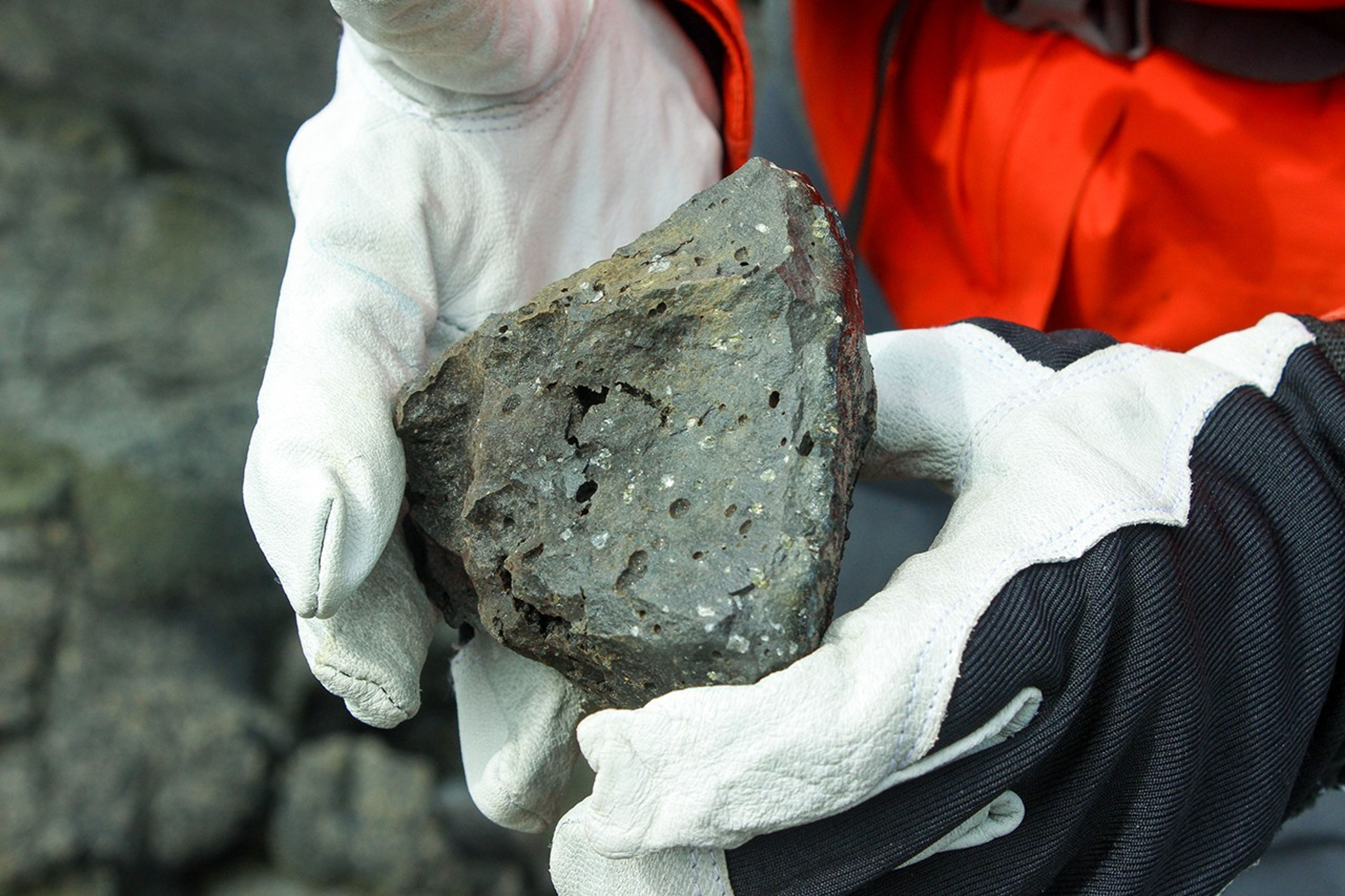
On the ground, teammates Alexandra Matiella Novak and Sarah Sutton worked to describe and collect rock samples, connecting what they could see and touch to the patterns spotted from above. It's the same approach planetary scientists use when interpreting remote sensing data from Mars or the Moon. Planetary scientists try to understand the big-picture view from orbit, and check the data with fieldwork on our best laboratory, Earth. The team paid special attention to rockslide scars, areas where the sides of volcanic vents had collapsed, exposing fresh mineral deposits. These scars reveal what's happening beneath the surface, and similar features on Mars might tell us about the planet's volcanic history.
This expedition builds on GIFT's earlier work in Iceland's Highlands, where Whelley, Scheidt, Sutton, and Jacob Richardson used lidar and drones to map volcanic landscapes. Every flight, measurement, and sample pulls them closer to understanding how volcanic vents evolve and how those changes might be preserved in the geologic record of other worlds.
Yesenia Arroyo
NASA's Goddard Space Flight Center