![Request for Information – Potential [Placeholder for Prize]](https://assets.science.nasa.gov/dynamicimage/assets/science/missions/a-step/FFR_Earth_Background_20251120%20.png?w=1024)


Video: How Do We Know Earth Is Changing?
Transcript
Have you ever looked a picture of yourself from a few years ago and noticed how much you’ve changed? Maybe you grew a few inches taller, or maybe you have a different haircut!
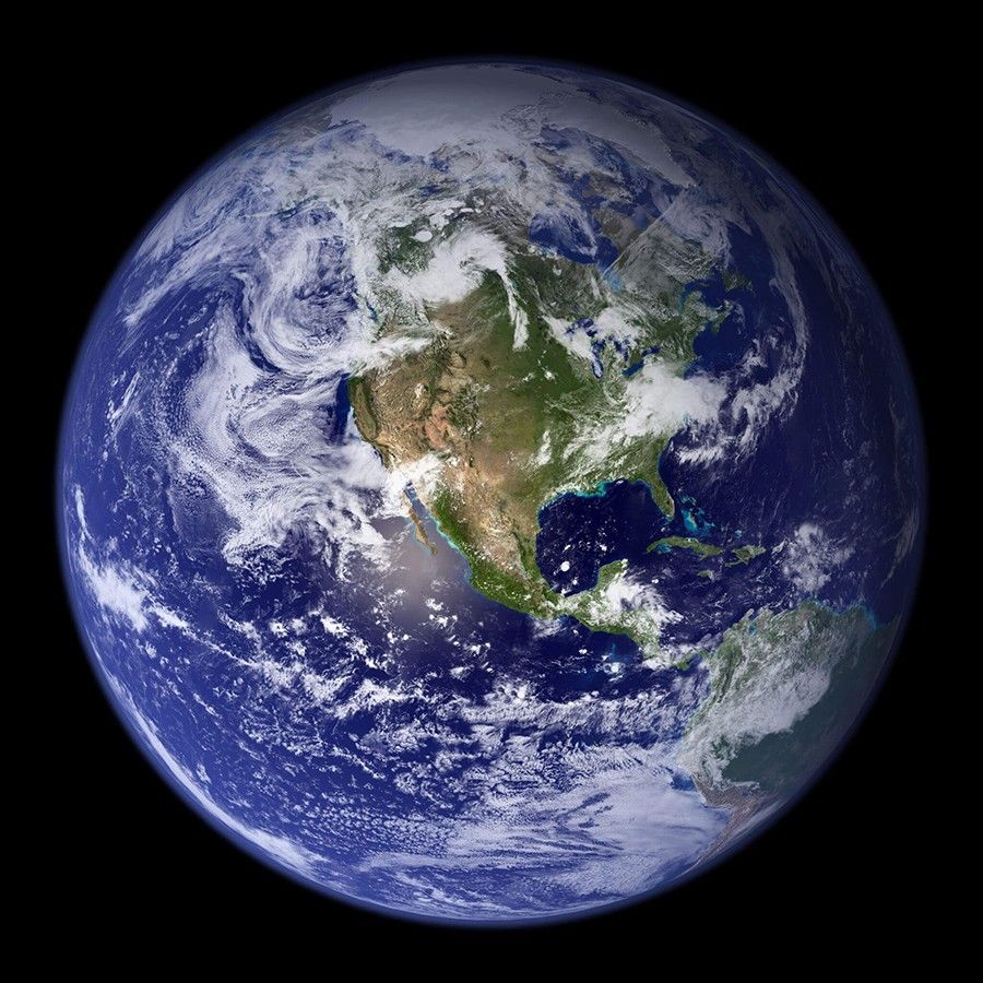
Scientists can use new and old pictures to keep track of Earth’s changes over time, too. Since Earth is where we live – and it’s the only planet we know of that we can live on – scientists are constantly observing its land, water, and air.
By capturing images from the ground and images from satellites in the sky, we can see how our planet is different than it used to be.
For example, in summer 2020, heavy rains in West Africa caused intense floods on the Niger River. In these NASA satellite images of the region before the flood, you can see how a brown and dry region…. Had become covered in shallow water and plants such as grasses just 5 months later.
But heavy rain doesn’t always help plants grow. In 2021, several days of heavy rain in Australia caused major problems. In the before image, you can see the green ground surrounding farms and homes nearby. A few days of heavy rain later, the river became blocked, flooding the area and causing farmers to lose their crops and livestock.
Droughts – which are long periods of less rainfall than usual – also cause changes to our planet. In this satellite image from 2017, you can see many green areas surrounding Paraguay's capital city, Asunción. However, this image of the same region in 2020 shows the effects of a widespread drought. Much of the lush green has turned brown and dry.
Volcanos are another natural phenomenon that can rapidly change the appearance of Earth’s surface. Mount St. Helens is a volcano that had a large eruption in 1980. In this photo from 1984, you can see that the eruption destroyed a large part of the forest nearby. But in this image from 2020 – 40 years after the eruption – the region was showing many signs of recovery.
Natural hazards aren’t the only things that can change the look of Earth. Human activities can change what Earth looks like from space, too.
For example, within 50 years, Cancún, Mexico, transformed from a small town into a vacation destination for 2 million visitors per year. In this image, you can see the size of the city in 1985. In this photo of the same area from 2019, you can see that the city had grown significantly. However, while good for vacationers, this growth has brought problems for the environment including water pollution and the washing away of beach sand.
In this image from 1985, you can see the Paraguay-Parana River system in South America. This image, from 2010, shows the same region after a dam had been constructed downstream to generate electricity. The flooding created by the dam caused many people to have to move. It also flooded a region that is the habitat of animals such as jaguars, giant river otters, giant anteaters and more than 650 species of birds.
Scientists observing Earth have also noticed that Earth’s climate is changing significantly. And human activities – such as the gases released from power plants, factories, and car and truck exhaust – are the main driver of this change.
Scientists are studying many signs of climate change, but one major effect we can see is the melting of glaciers. These are large, slow-moving rivers of ice on land. As the climate warms, these glaciers are disappearing.
For example, in this photo you can see a huge glacier sat along the shoreline of Harris Bay in Alaska’s Kenai Mountains roughly 60 to 80 years ago. In this more recent photo taken at the same location, you can see that much of the glacier has melted. To reach the glacier today, you'd have to travel miles up the valley beyond the fjords seen here.
This 1941 photograph shows the lower parts of Muir Glacier and Riggs Glacier, both in Alaska. Back then, the two glaciers filled the entire inlet. However, in this photograph from 2004, you can see that Muir Glacier melted, thinned, and retreated more than 4 miles.
Comparing "before and after" images like these from the surface and from space is just one way we can keep track of changes occurring on our planet. Images from NASA satellites – and scientists in the field – are an important part of understanding how we can address those changes.