Suggested Searches

1 min read

Cyclone 16S off Madagascar

Instruments:
2024-02-10 12:00:00
February 10, 2003

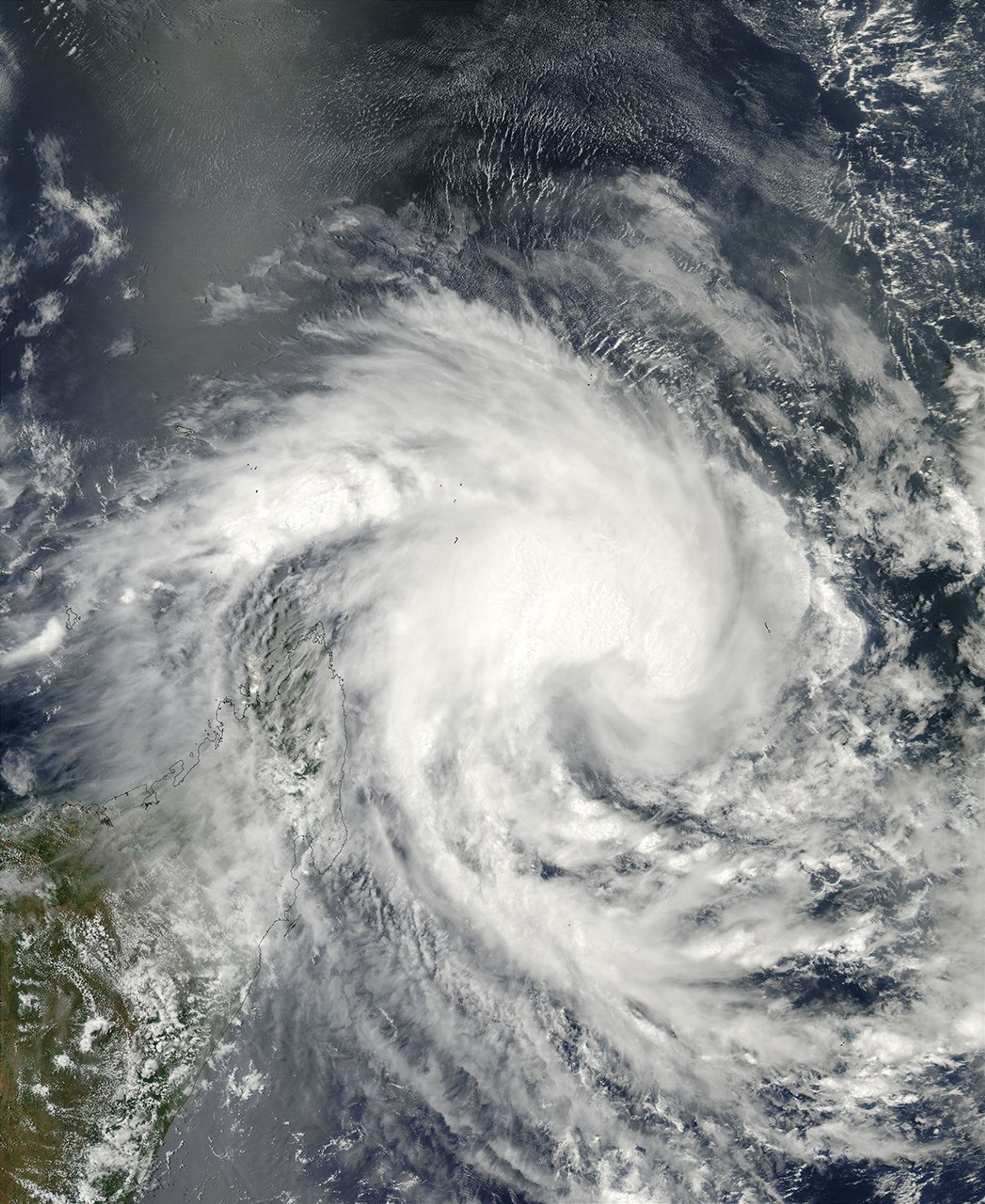
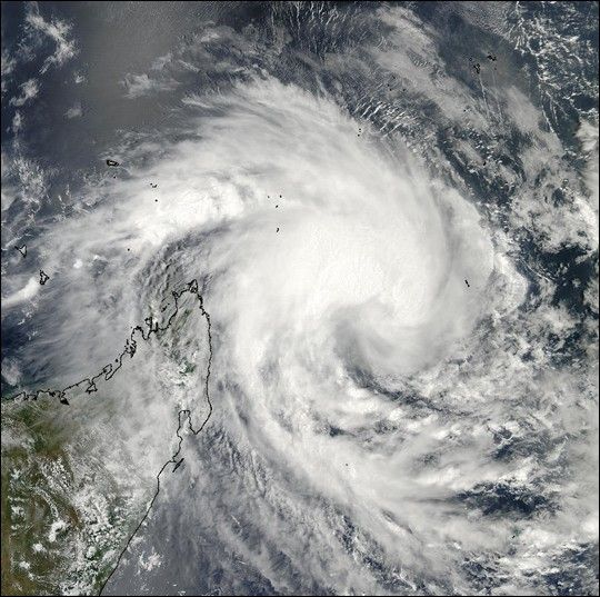
With sustained winds of 84 km per hour (52 mph), Tropical Cyclone 16S has hovered off Madagascar’s northeastern coast for the last couple of days. This true-color image of the storm was acquired on February 10, 2003, by the Moderate Resolution Imaging Spectroradiometer (MODIS) aboard NASA’s Aqua satellite. The high-resolution image available here is 500 meters per pixel. Visit the MODIS Rapid Response Team, for a copy of this scene at MODIS’ full resolution of 250 meters per pixel.

References & Resources

Image courtesy Jeff Schmaltz, MODIS Land Rapid Response Team at NASA GSFC

You may also be interested in:

Stay up-to-date with the latest content from NASA as we explore the universe and discover more about our home planet.

A Second Cyclone Slams Madagascar
3 min read

Widespread flooding affected tens of thousands of people after cyclones Fytia and Gezani drenched the island.

Article
Imelda and Humberto Crowd the Atlantic
3 min read

The tropical cyclones are close enough in proximity that they may influence one another.

Article
Ragasa Steers Toward China
3 min read

The super typhoon headed for Guangdong province after lashing Taiwan and northern Luzon in the Philippines.

Article