




























Suggested Searches

1 min read

Typhoon Ketsana

Instruments:
2003-10-22 00:00:00
October 22, 2003

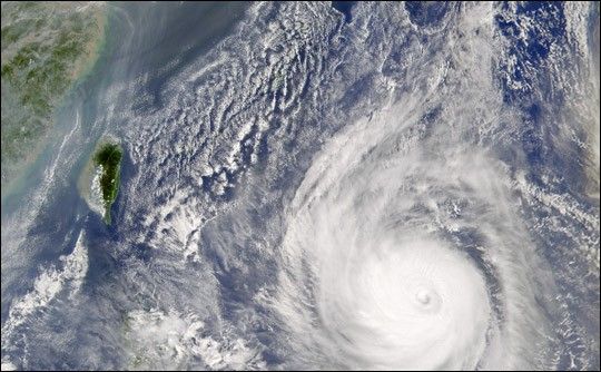
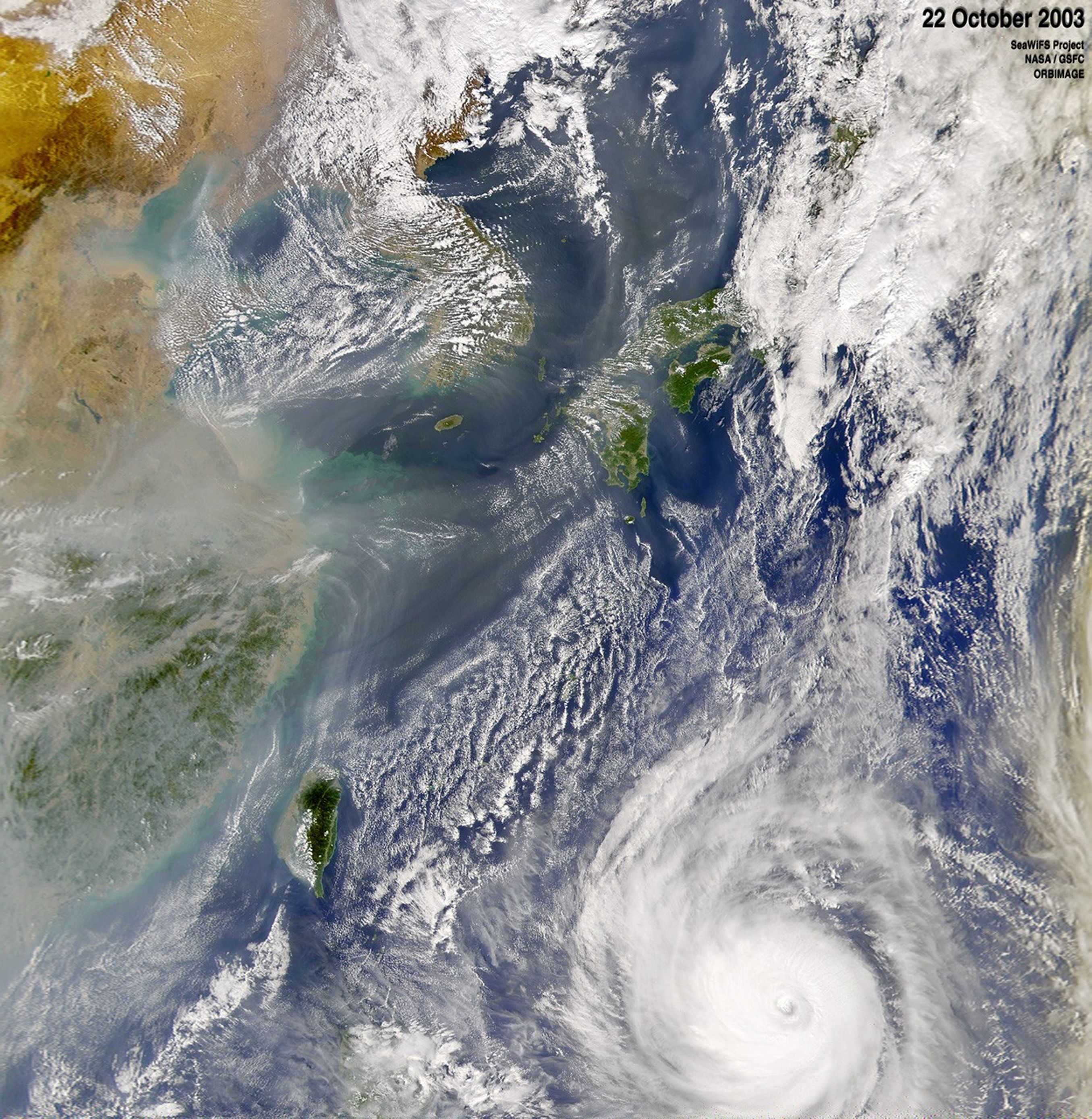
Typhoon Ketsana moves through the western Pacific Ocean. In this image, recorded by the Sea-viewing Wide Field-of-view Sensor (SeaWiFS)on October 22, 2003, the storm is about 600 kilometers southeast of Taiwan. Ketsana continues to maintain 144 mile per hour winds with higher gusts.

References & Resources

Image courtesy the SeaWiFS Project, NASA/Goddard Space Flight Center, and ORBIMAGE
You may also be interested in:

Stay up-to-date with the latest content from NASA as we explore the universe and discover more about our home planet.

Typhoon Jangmi
2 min read

The sprawling storm promised to deliver torrential rain across a wide swath of southern Japan.

Article
El Niño Is Underway
4 min read

Satellite observations of sea surface height indicated that the 2026 event continued to strengthen in early June.

Article
Super Typhoon Bavi
3 min read

The third category 5 tropical cyclone of 2026 crossed the U.S. Northern Mariana Islands and Guam before continuing toward Asia.

Article