Worldwide Reference System Grid Boundaries
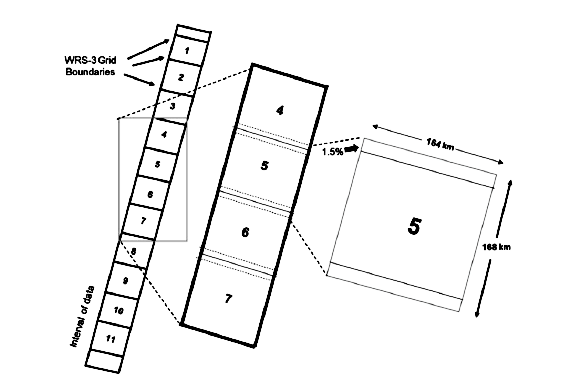
Diagram showing satellite imagery grid systems with WRS (Worldwide Reference System) grid boundaries. On the left is a vertical strip of 11 numbered scenes, and to the right is a wider strip with scenes 4-7 visible. A detailed view shows a single scene (#5) with dimensions of 185 km width and 184 km height, with a 7.5% overlap between adjacent scenes.
Image Credit: NASA
- X
https://science.nasa.gov/image-detail/amf-2f78da31-860d-4602-b9ef-7aaa3baabc3b/
Image CreditNASA
Size570x389px