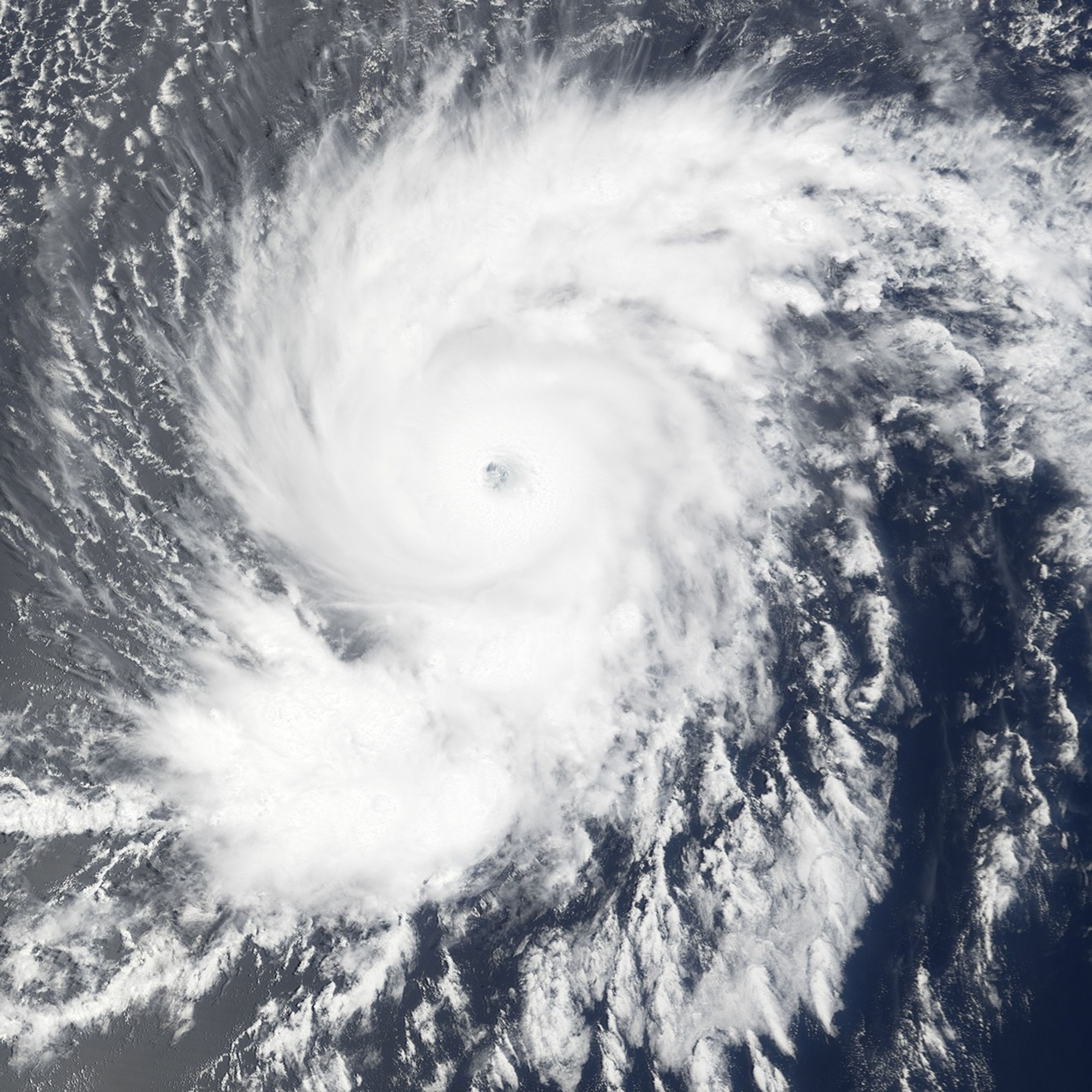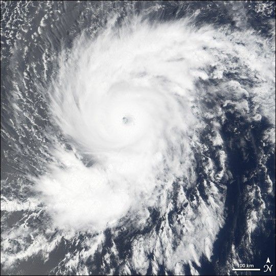
Hurricane Flossie was building in strength as it barreled across the central Pacific Ocean on August 11, 2007. The storm had winds of 217 kilometers per hour (135 miles per hour or 117 knots) and gusts to 260 km/hr (160 mph or 140 knots) when the Moderate Resolution Imaging Spectroradiometer (MODIS) on NASA’s Terra satellite captured this photo-like image at 20:15 UTC. The Category 4 hurricane had a distinct eye surrounded by spiraling arms of clouds. By August 13, Flossie had quieted slightly, its winds dropping to 110 knots. As of August 13, the Central Pacific Hurricane Center predicted that Flossie would track northwest across the Pacific, its outer fringes possibly skimming the Hawaiian Islands between August 14 and August 16.
References & Resources
NASA image created by Jesse Allen, using data provided courtesy of the MODIS Rapid Response team.