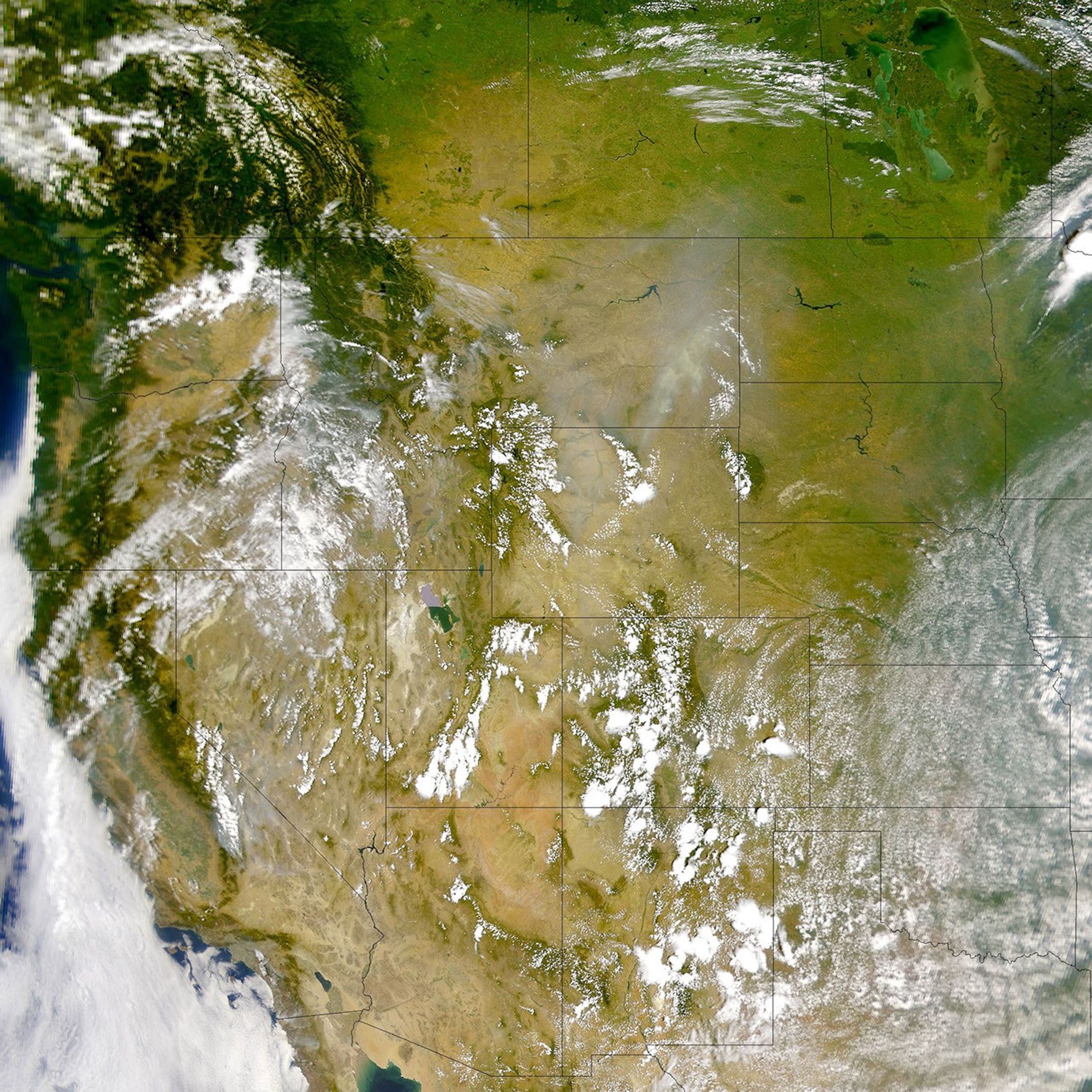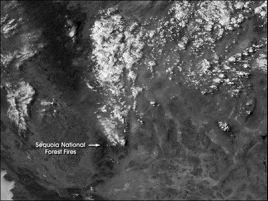
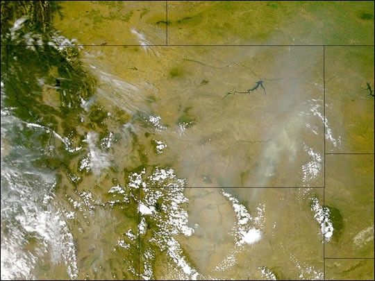
California was not the only western state affected by fire during the last weekend of July. Parts of Montana and Wyoming were covered by a thick pall of smoke on July 30, 2000. This true-color image was captured by the Sea-viewing Wide Field-of-view Sensor (SeaWiFS). It is much easier to distinguishsmoke from cloud in the color SeaWiFS imagery than the black and white Geostationary Operational Environmental Satellite (GOES) imagery. However, GOES provides almost continuous coverage (animation of Sequoia National Forest fire) and has thermal infrared bands (Extensive Fires in the Western U.S.) which detect the heat from fires. On Monday July 31, 2000, eight fires covering 105,000 acres were burning in Montana, and three fires covering 12,000 acres were burning in Wyoming.
References & Resources
Image provided by the SeaWiFS Project, NASA/Goddard Space Flight Center, and ORBIMAGE