


August 2, 2016
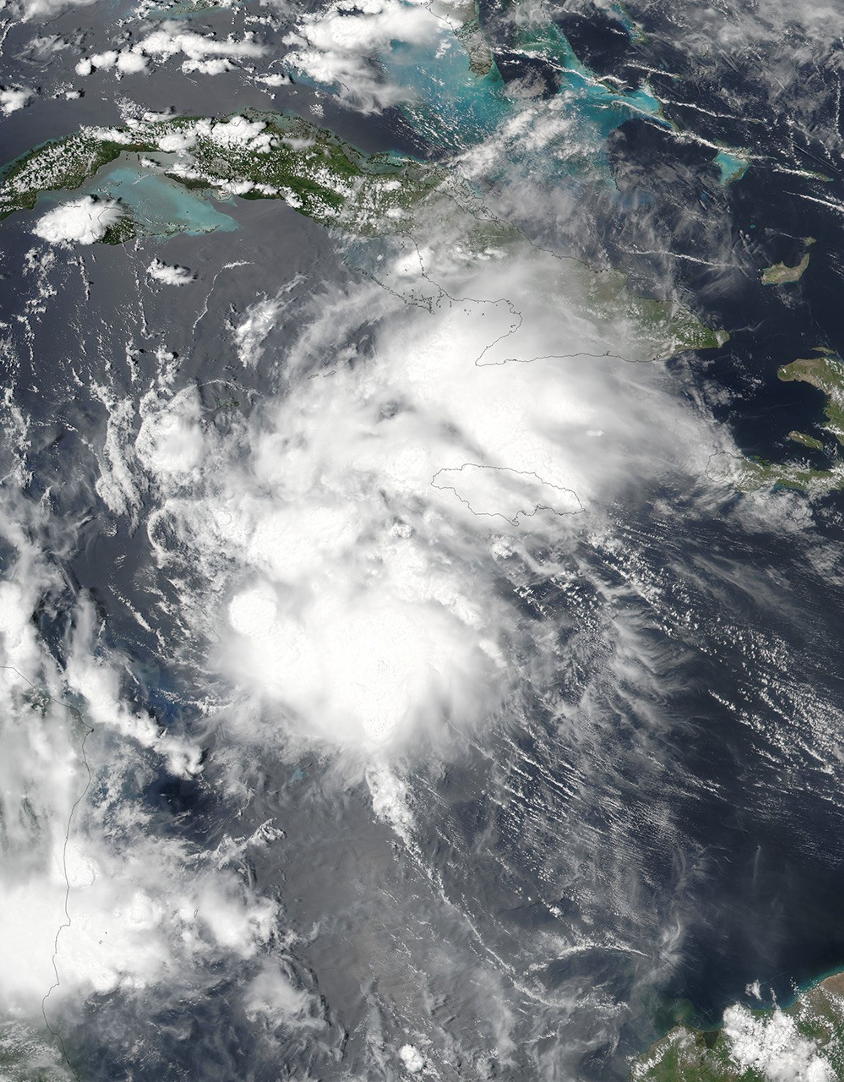
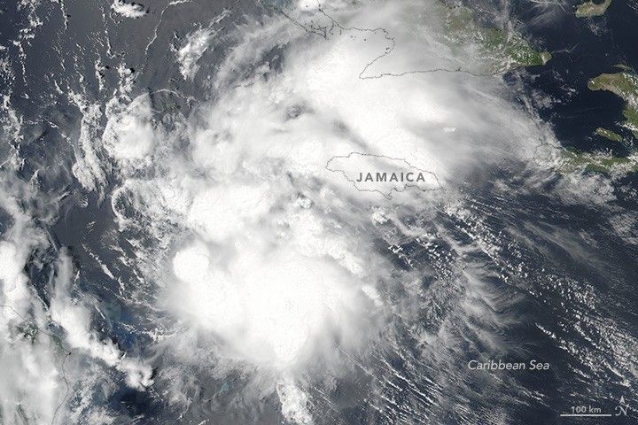
At 18:30 Universal Time (1:30 p.m. local time) on August 2, 2016, the Visible Infrared Imaging Radiometer Suite (VIIRS) on the Suomi NPP satellite acquired this image of Earl. At the time, Earl was a tropical storm over the Caribbean Sea. Earl later made landfall over Belize on August 3 as a category 1 hurricane, with winds measuring about 70 knots (80 miles per hour).
References & Resources
- National Hurricane Center (2016, August 4)Hurricane EARL. Accessed August 4, 2016.
NASA image by Jeff Schmaltz, LANCE/EOSDIS Rapid Response , using VIIRS data from the Suomi National Polar-orbiting Partnership satellite. Suomi NPP is the result of a partnership between NASA, the National Oceanic and Atmospheric Administration, and the Department of Defense. Caption by Kathryn Hansen.