


May 18, 2015
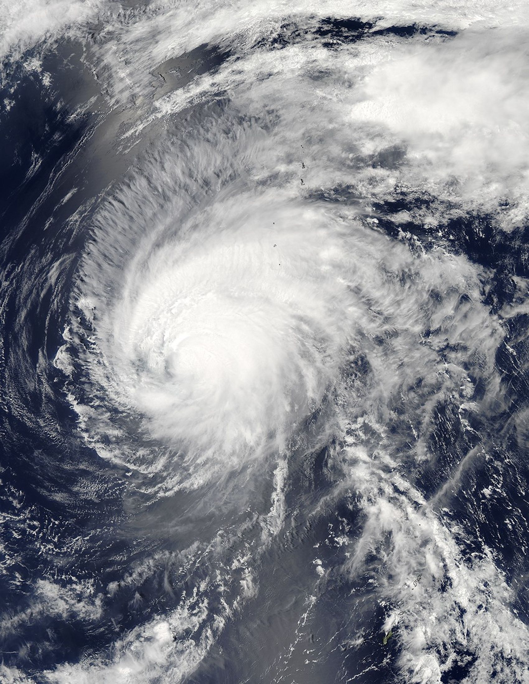
On May 18, 2015, the Moderate Resolution Imaging Spectroradiometer (MODIS) on NASA’s Aqua satellite acquired this natural-color image of Typhoon Dolphin near the Ogasawara (Bonin) Islands in the Pacific Ocean. The storm has weakened since it first intensified into a Category 5 storm on May 16. The center of Typhoon Dolphin tracked between Guam and Rota on May 15.
References & Resources
- Dr. Jeff Masters’ WunderBlog, via Weather Underground (2015, May 17) Super Typhoon Dolphin Becomes Earth’s 5th Category 5 Storm of 2015. Accessed May 18, 2015.
- NASA Hurricane Page (2015) Dolphin (Northwest Pacific Ocean). Accessed May 18, 2015.
NASA image by Jeff Schmaltz, LANCE/EOSDIS Rapid Response. Caption by Kathryn Hansen.


