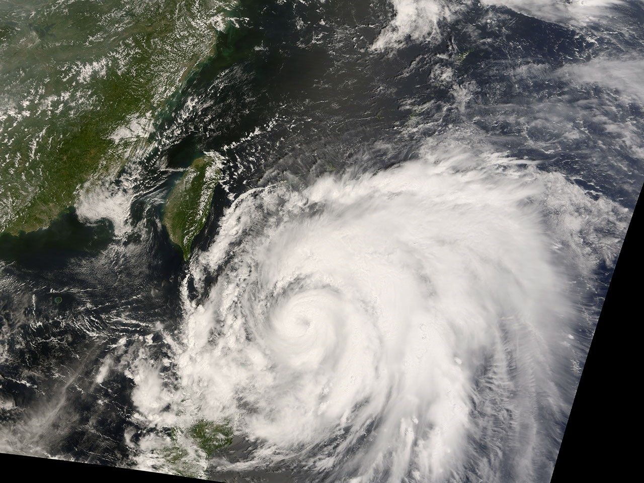
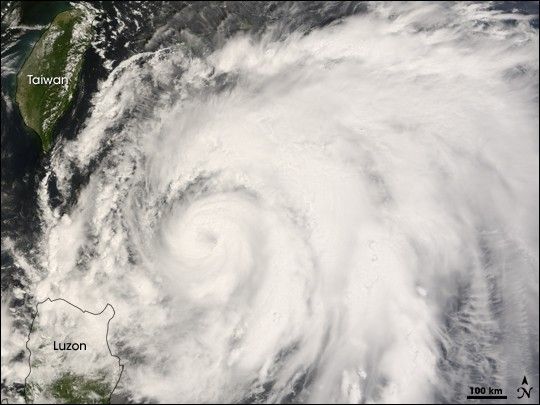
Typhoon Sinlaku draped the island of Luzon in the Philippines with some of its rain clouds on September 10, 2008, at the time of this image from the Moderate Resolution Imaging Spectroradiometer (MODIS) on NASA’s Terra satellite (02:30 UTC, or 10:30 a.m. local time). Near the time the image was acquired Sinlaku was reported to be a Category 2 typhoon, with wind speeds between 90 and 95 knots (104 to 109 mph). By 8:00 p.m. local time the storm had reached Category 3 strength according to tracking details provided by Unisys Weather, and it was forecast to reach Category 4 “Super Typhoon” strength by September 12 as it moved northward past Taiwan.
References & Resources
- References
- Unisys. (2008). Sinlaku Tracking Details. Unisys.com. Accessed September 10, 2008.
NASA image created by Jesse Allen, using data provided courtesy of the MODIS Rapid Response team.