


GPM Stories
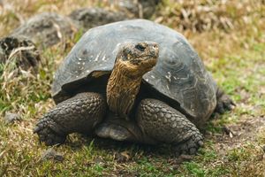
Giant tortoises are returning to Floreana Island after more than 150 years, guided by NASA data that shows suitable areas for release.
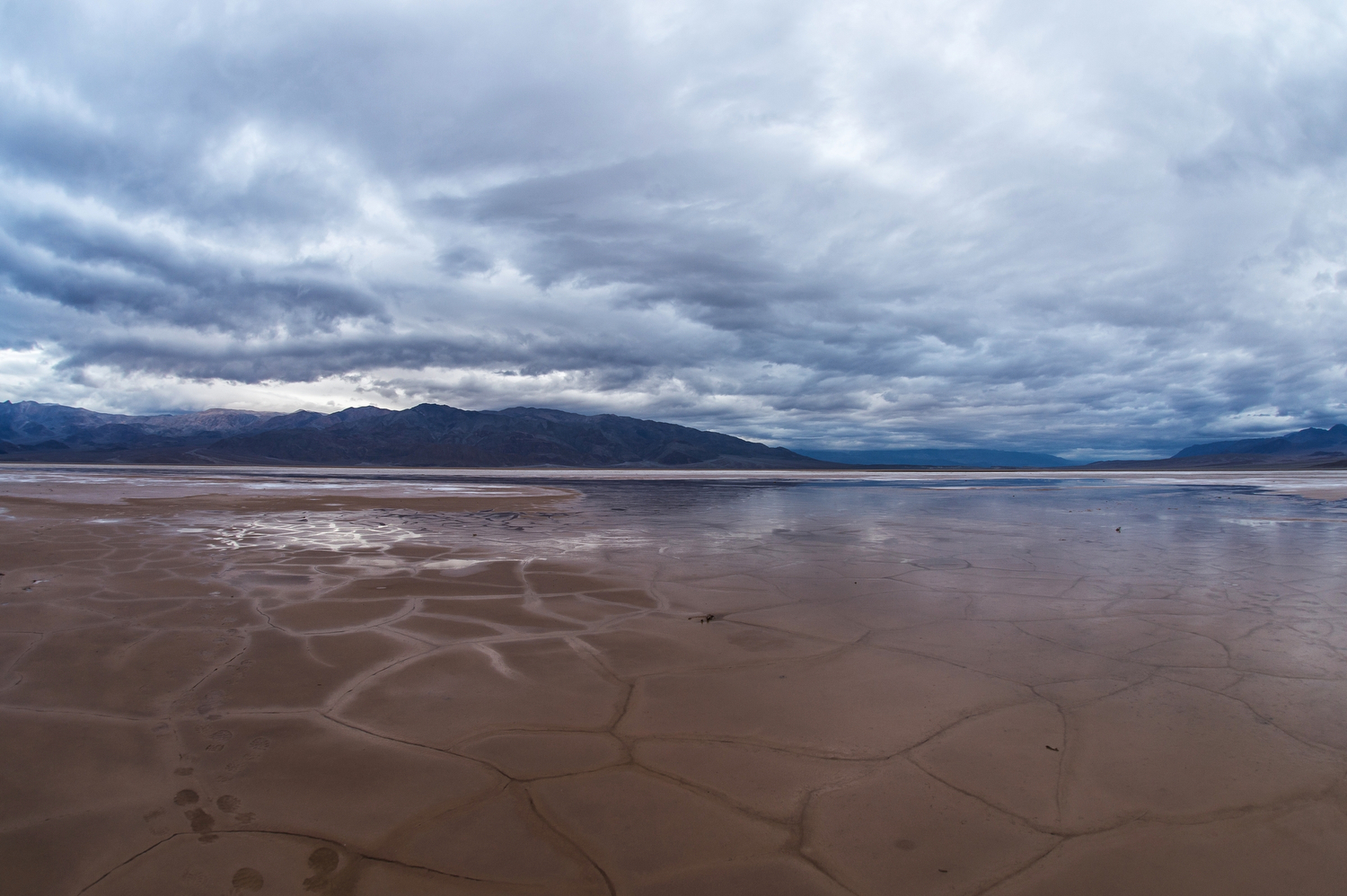
In a recently published paper, NASA scientists use nearly 20 years of observations to show that the global water cycle is shifting in unprecedented ways. The majority of those shifts are driven by activities such as agriculture and could have…
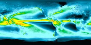
Earth’s rainy days are changing: They’re becoming less frequent, but more intense. Vegetation is responding.
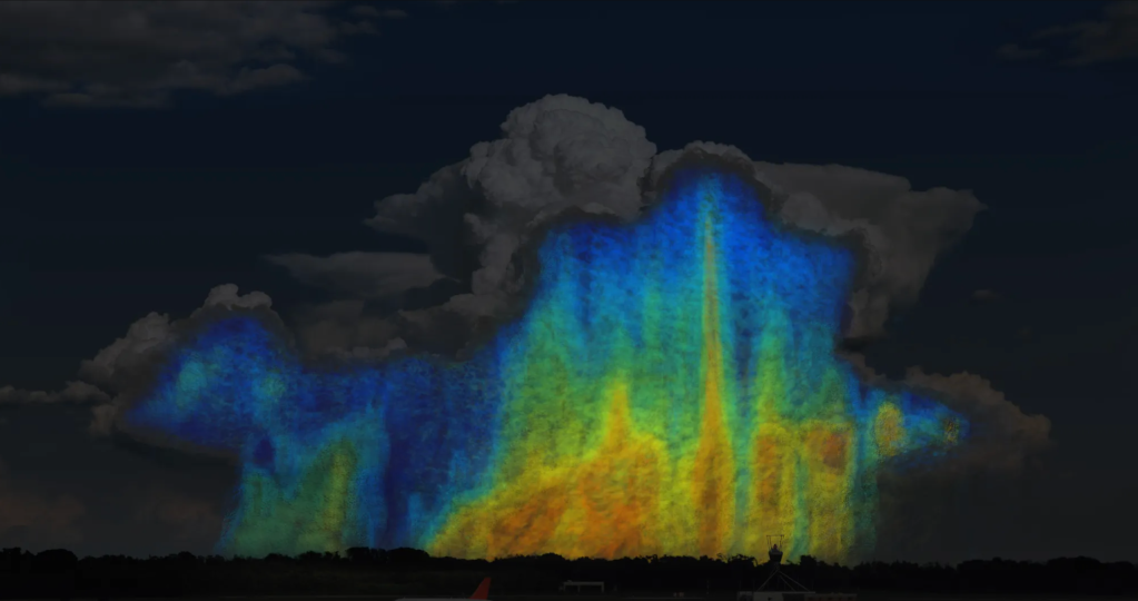
From peering into hurricanes to tracking El Niño-related floods and droughts to aiding in disaster responses, the Global Precipitation Measurement (GPM) mission has had a busy decade in orbit. As the GPM mission team at NASA and the Japan Aerospace…
Through the Integrated Rice Advisory System program, researchers use NASA and other satellite data to deliver information to Bangladeshi farmers about how much water they are using, how much they have, and how much their crops need.
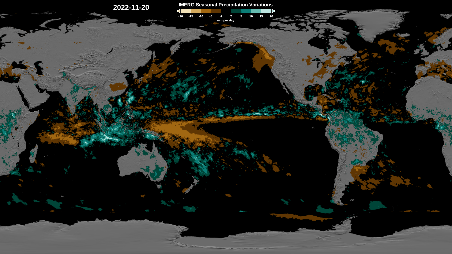
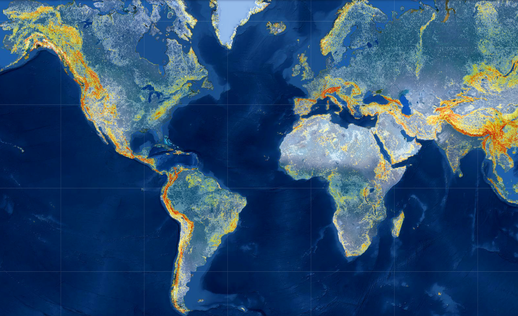
Rain gauges are plentiful around the United States, but that’s not the case elsewhere in the world – particularly over oceans and sparsely populated areas. That means scientists and other data users have to rely on satellite measurements – such…
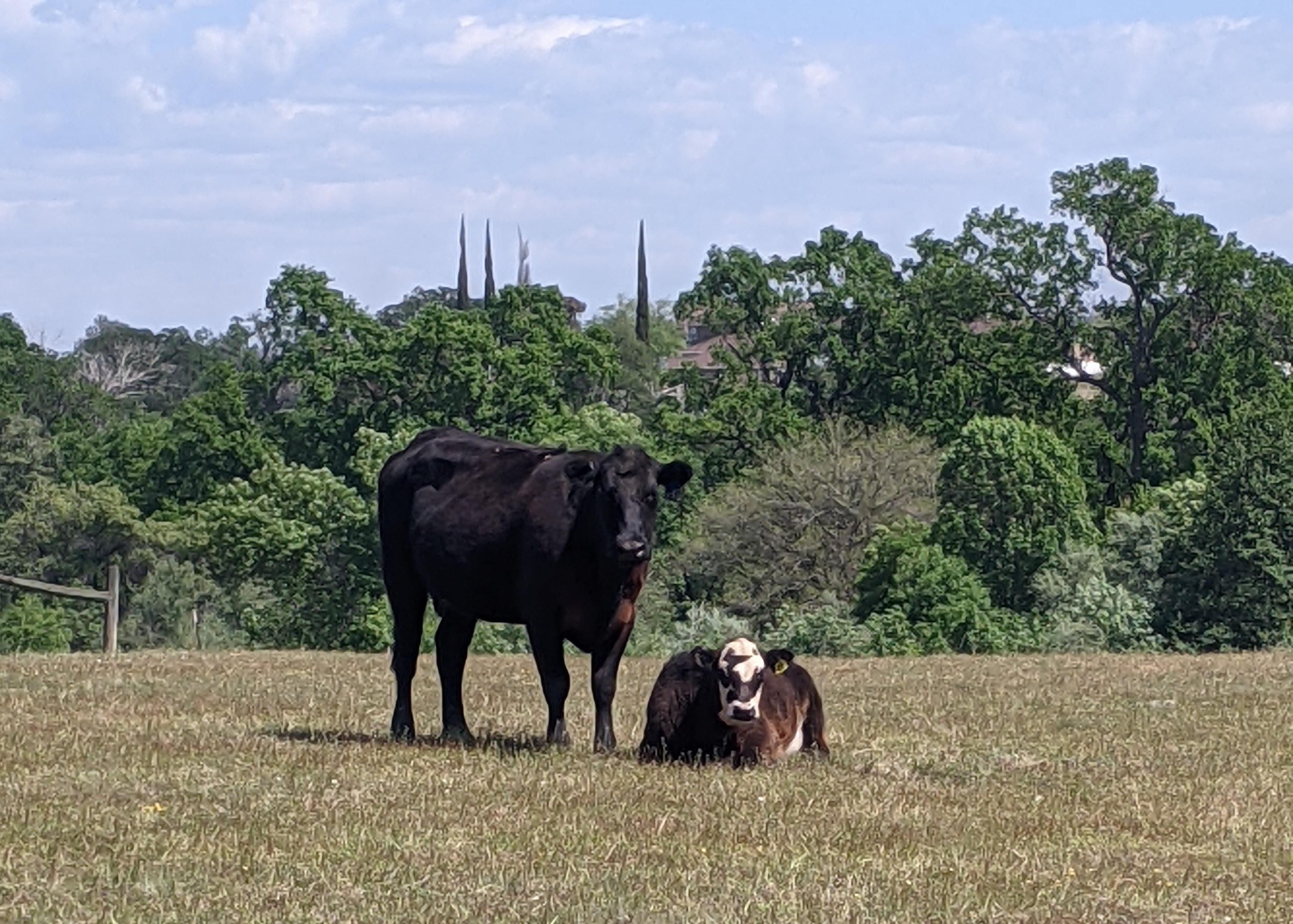
As Tracy Schohr goes about her day, water is always on her mind. She’s thinking of it as she rides an all-terrain vehicle around the pasture, looks up hay prices and weather forecasts, and collects data on grazing and invasive…
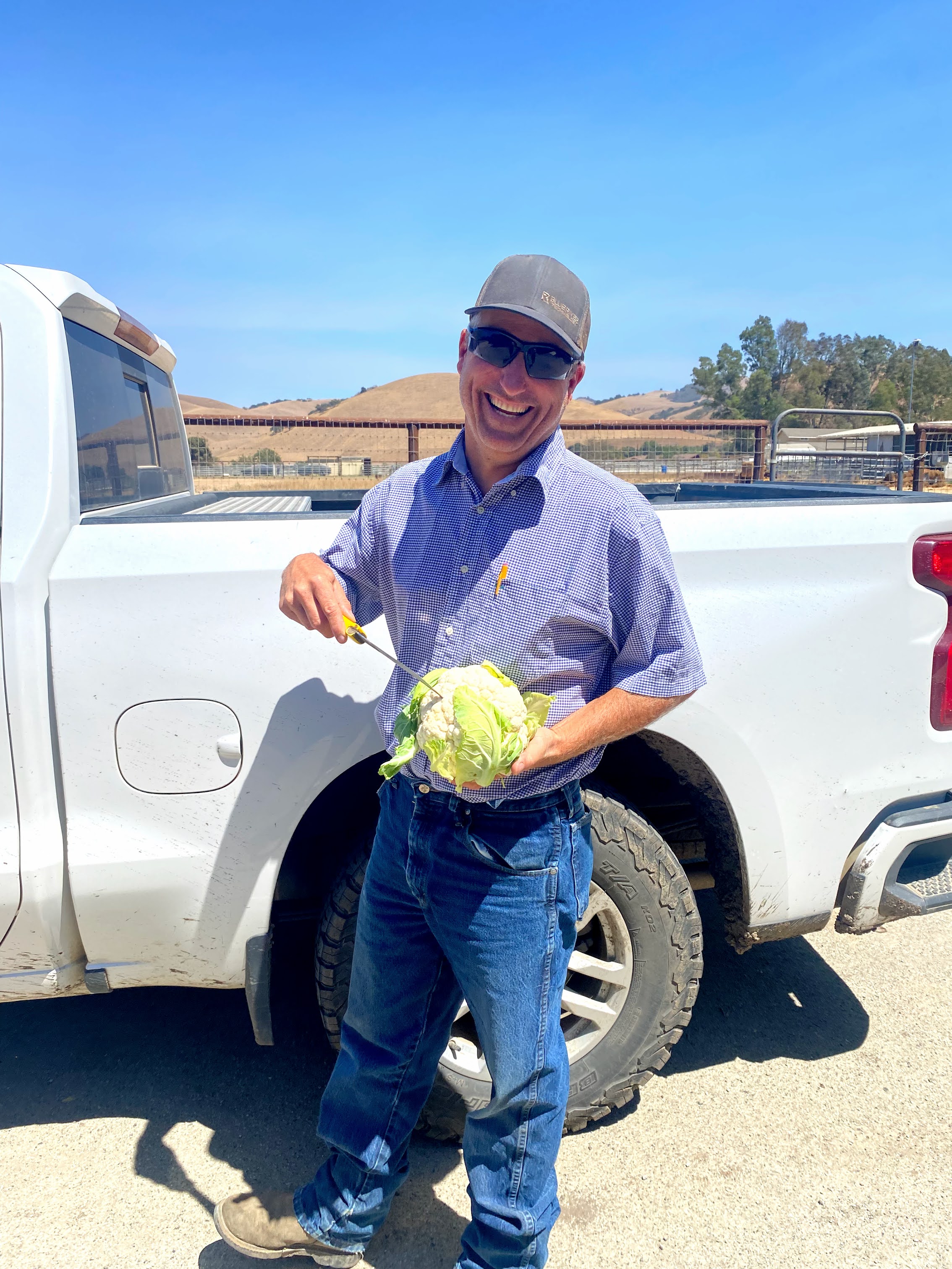
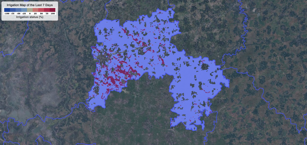
Every day – up to thirty times a day, in fact – one of Mark Mason’s employees at Nature’s Reward Farms in Monterey County, California brings him the results of a soil test for discussion. Mason supervises fertilizer and irrigation…
As the seasons turn from spring, to summer, to fall – farmers plant crops, monitor their growth and harvest them. And now increasingly they are using NASA Earth science data to help make their decisions. While NASA satellites primarily support…
Every year, landslides – the movement of rock, soil, and debris down a slope – cause thousands of deaths, billions of dollars in damages, and disruptions to roads and power lines. Because terrain, characteristics of the rocks and soil, weather,…
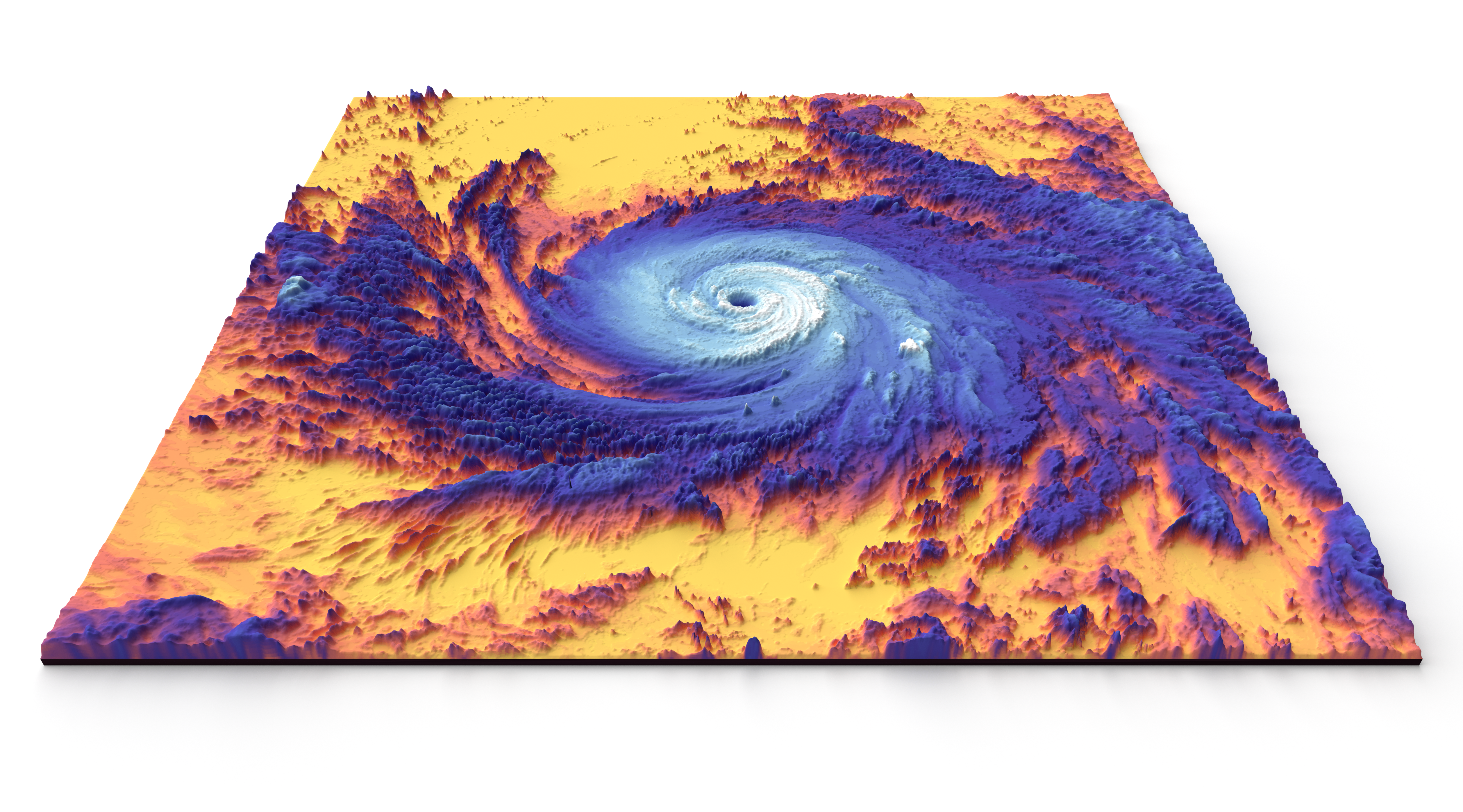
Hurricane season starts June 1 in the Atlantic Ocean. At NASA, we study storm formation and impacts, including ways to understand Earth as a system. 1. NASA can see storms from space. From space, NASA can see so much more…
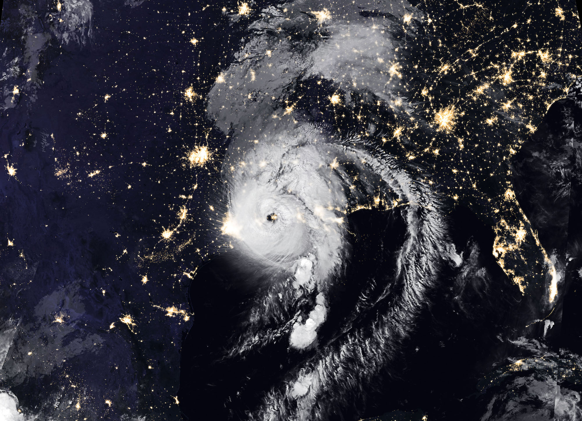
Early in the morning on Aug. 27, Hurricane Laura made landfall along the Louisiana and Texas coastline, bringing 150 m.p.h. winds, flash floods and heavy rainfall with it. On the ground, emergency personnel mobilized to respond to the Category 4…