


Dawn LAMO Image 201
October 26, 2016
| Credit | NASA/JPL-Caltech/UCLA/MPS/DLR/IDA |
|---|---|
| PIA Number | PIA20963 |
| Language |
|
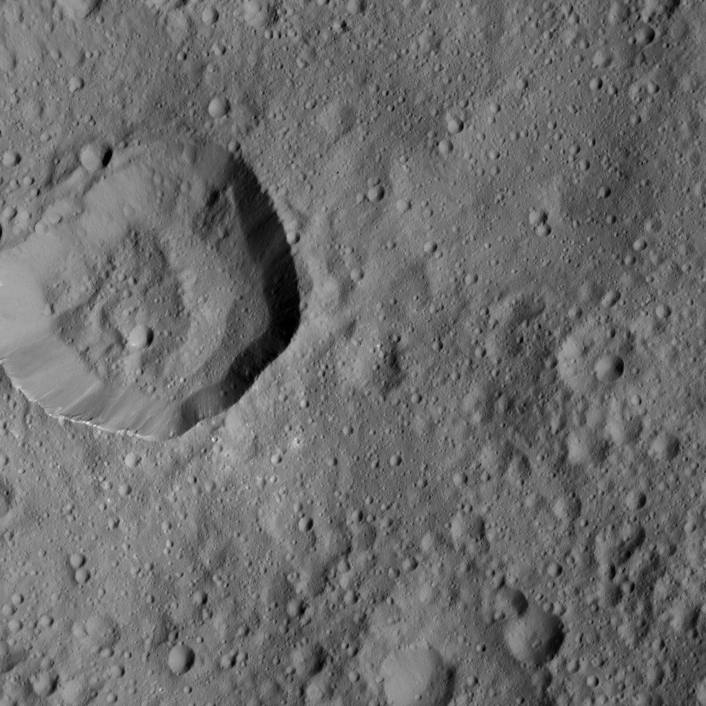
This image, taken on June 10, 2016 by NASA's Dawn spacecraft, shows cratered terrain on Ceres. Dawn took this image from its low-altitude mapping orbit, at a distance of about 240 miles (385 kilometers) above the surface.