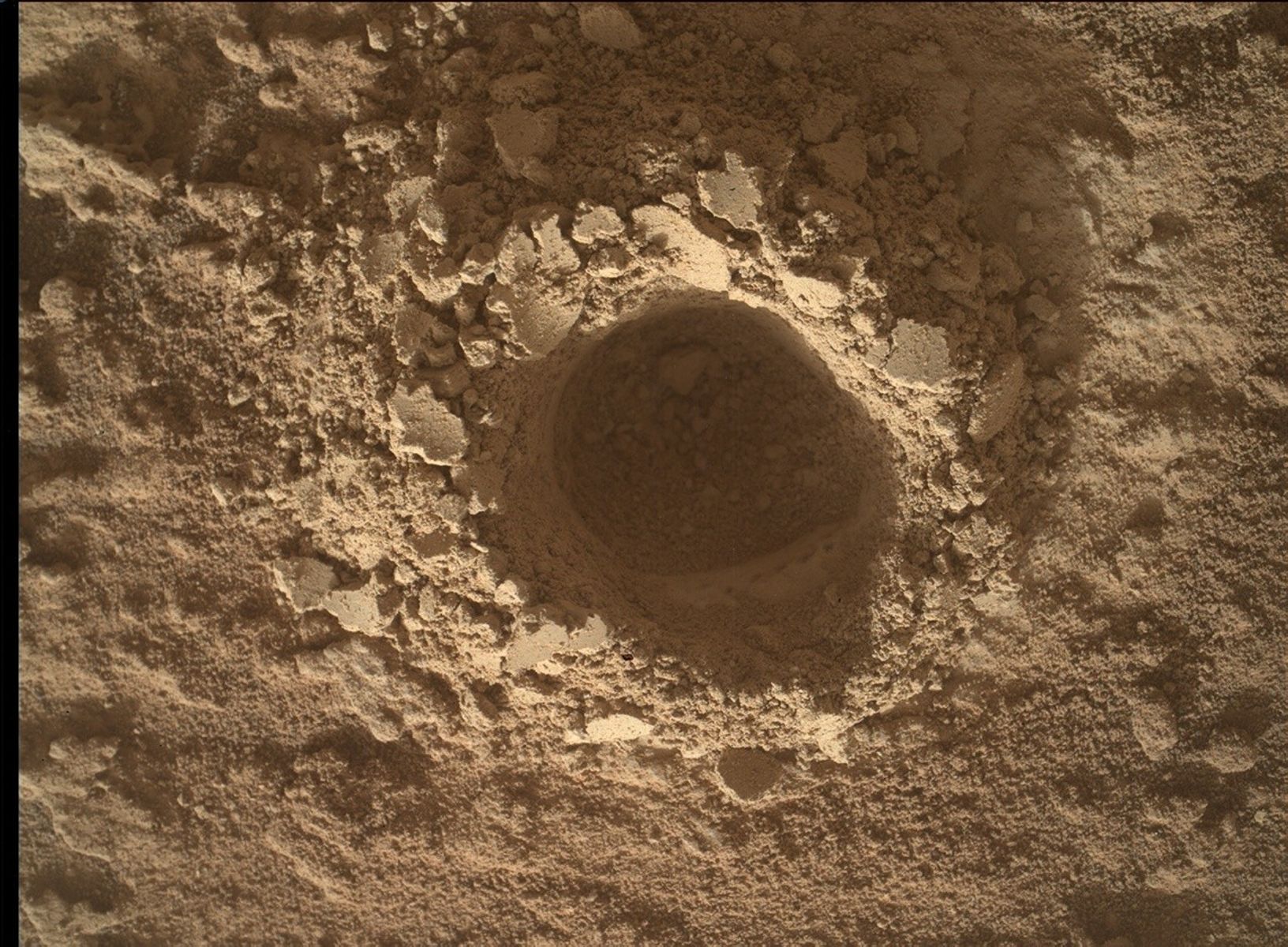
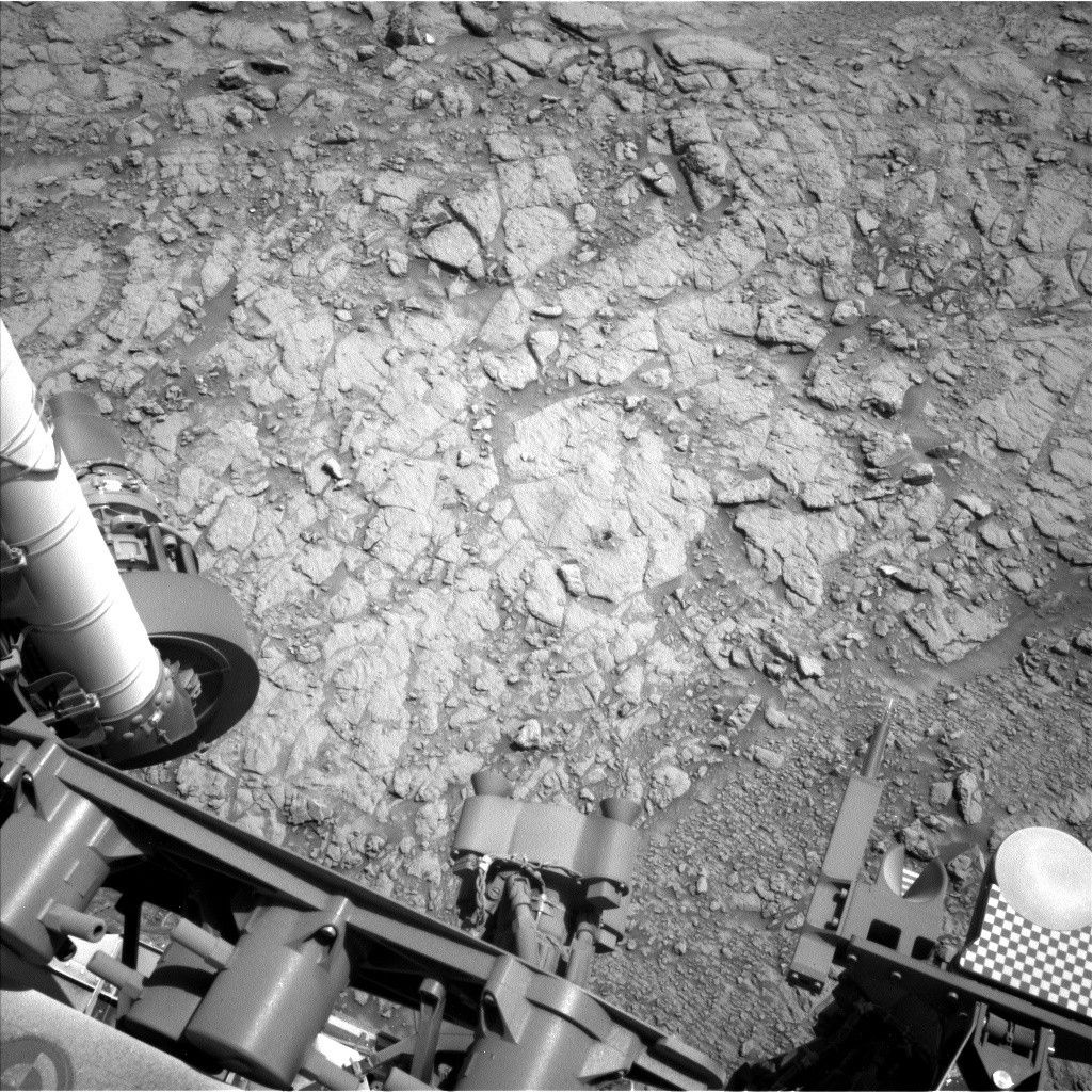
We’re slowly picking our way across the rugged cap-rock of Zabriskie Plateau. Over the weekend we
drove 23.4 m while also managing to use every single instrument on the rover! For the Sol 696 plan we
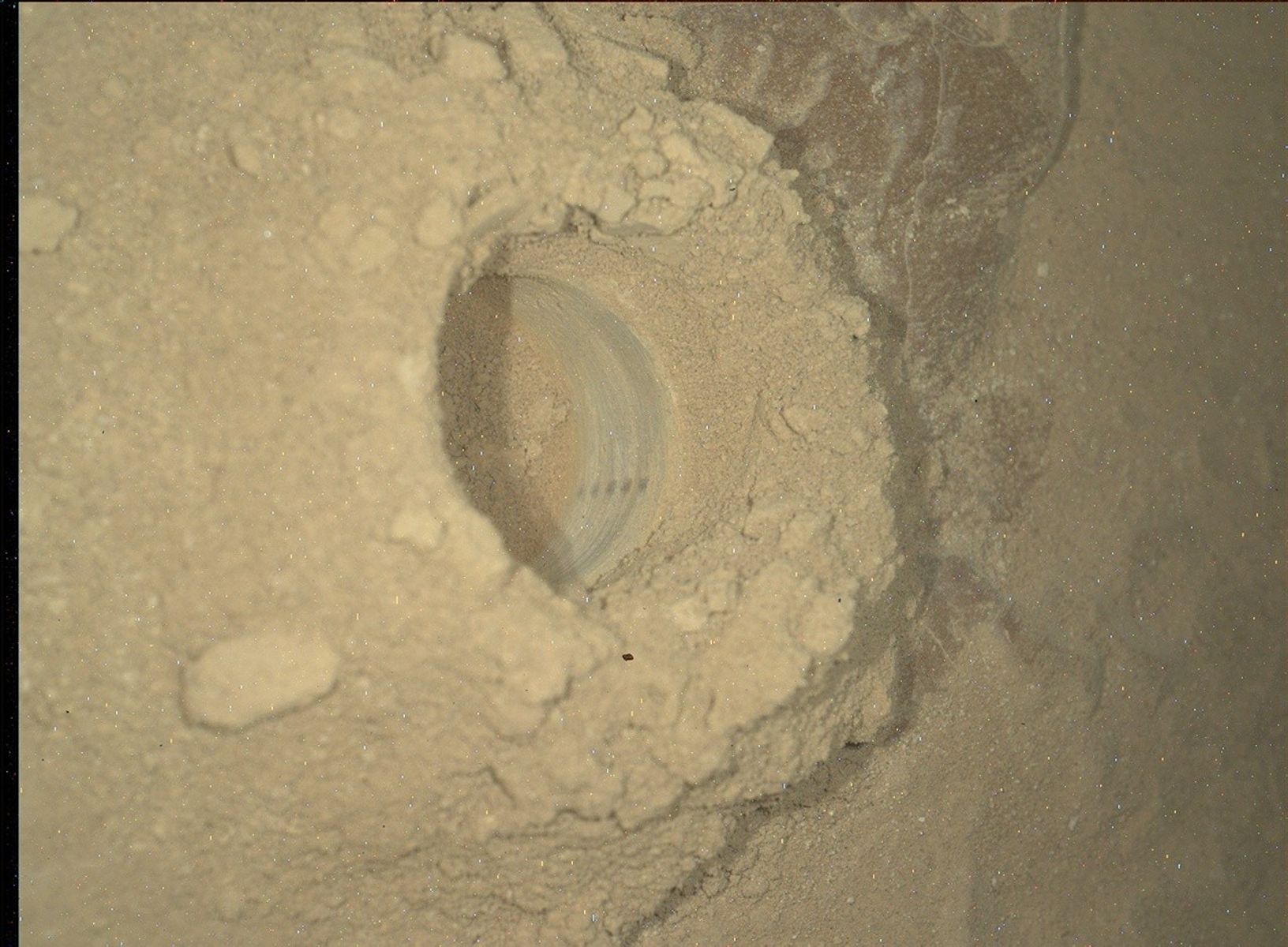
will be doing two quick APXS integrations on targets Wildrose and Surprise, along with documentation
images. We’ll also be taking a Mastcam multispectral observation of Mahogany Flats and a right-eye
image of the target Jangle. Multispectral observations involve taking pictures of a target with various
filters in front of the camera. This results in a low-resolution spectrum for each pixel in the image, which
can be used to figure out (very approximately) what type of minerals are present, and to pull out detail
that would not be visible with an ordinary red-green-blue image. Once the science is done in the sol 696
plan, we will drive again.
Dates of planned rover activities described in these reports are subject to change due to a variety of factors related to the Martian environment, communication relays and rover status.
Written by Ryan Anderson, Planetary Geologist at USGS Astrogeology Science Center


