The planning started with intense discussions on the question of what to do, and for a very good reason. The sedimentology experts in the team had determined that we can see very interesting structures related to a possible contact between the Murray and the overlying pediment. We therefore had to decide early in planning if we wanted to try to collect contact science near the contact, or if we should continue with our climb to the top. In my role as Geo Science Team Lead I had to keep the planning on track – not an easy feat and I think I have to send out some chocolates to all who helped keep planning moving along! Orbital mechanics won’t stop for us and make Mars wait in position until we are ready to uplink our plan.
Changing the plan from ‘keep moving’ to ‘stay’ is never taken lightly, and the discussions reflected this as we were weighing options. The reason for the discussion was that we found a site close to the contact that looked much more accessible, detail rich and valuable up close than it had originally looked from the bottom of the hill. This justified not driving all the way onto the top of the pediment today, and instead doing a small adjustment to allow us to do contact science at these interesting targets tomorrow.
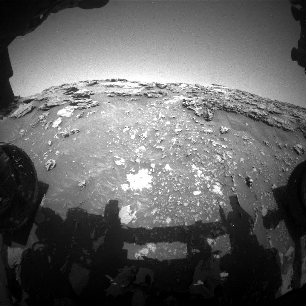
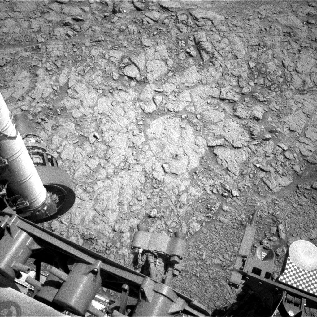
The data we will be acquiring here is getting the team excited! In today’s plan we have two ChemCam targets on bedrock: target “Ariundle” is in front of the rover, in fact, it is among the smaller rocks above the white patch in the image that accompanies this blog post. The ChemCam target “Hutton’s Section” is higher up on the slope and thus closer to the pediment. We are expecting to see some differences in chemistry between the two. Mastcam has a mosaic in this plan, which covers the two targets and documents the sedimentary structures around them.
We will then slightly adjust the rover to prepare for an APXS measurement in the area of the Hutton’s Section target. The adjustment should get us into a position to where we can reach the target with our arm. But if we indeed will be able to use the arm tomorrow is yet to be seen, because we are driving through very challenging terrain. On the last drive the tilt of the rover exceeded 30°. And, of course, that sparked the question if we are now holding the martian rover tilt record. Well, the colleagues who also did operations on the MER rovers reminded us that the MER rover Opportunity still holds the record by a fraction of a degree.
In addition to these observations, the plan includes further imaging and a ChemCam AEGIS observation after the drive. This will set us up nicely for the next planning, hopefully with some contact science if it can be done safely – and then to continue the climb onto the pediment. Will we break the martian tilt record? The jury is still out – and a big shout of ‘awesome, thank you’ goes to the engineers, who make Curiosity climb as never before!
Written by Susanne Schwenzer, Planetary Geologist at The Open University


