


Waiting for Good Snow
By Ellen Gray / NASA’S WALLOPS FLIGHT FACILITY, VIRGINIA/
Nothing to be done.
When your field campaign depends on chasing winter storms you have to wait for the weather to arrive in its own time. For the science team of the Investigation of Microphysics Precipitation for Atlantic Coast-Threatening Snowstorms, or IMPACTS, campaign that means carefully watching the weather forecasts and then making the most of it when it arrives.
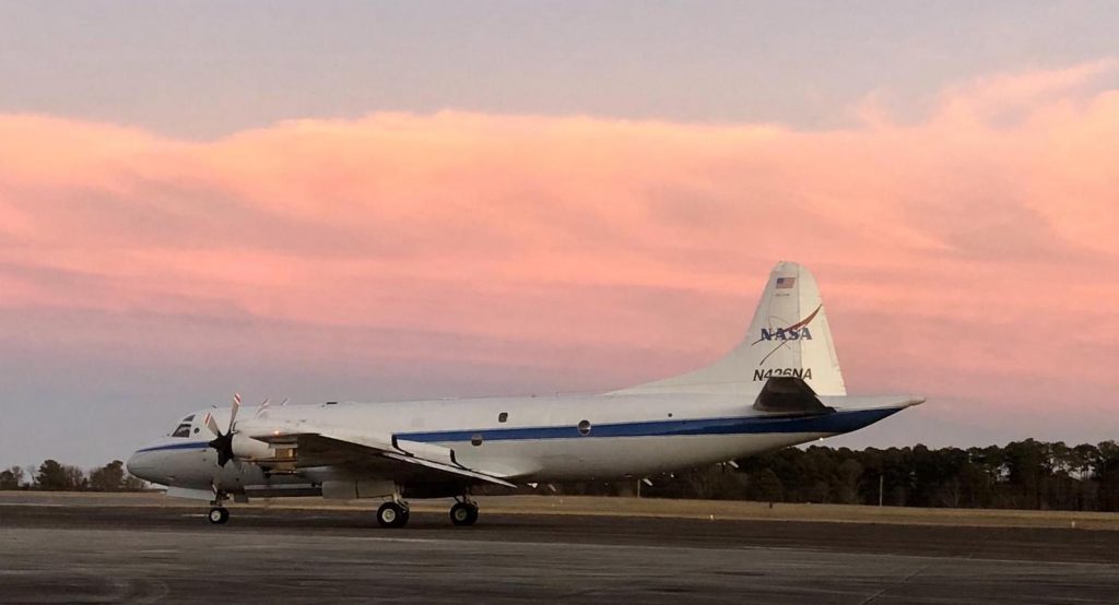
IMPACTS is a field campaign all about snow. This week, we’re with the team at NASA’s Wallops Flight Facility in Virginia, where the P-3 research plane is outfitted with instruments ready to fly into winter storms over the next six weeks in order to learn more about how snowstorms behave. A second plane, NASA’s ER-2 based out of Hunter Army Air Field in Savannah, Georgia, for the campaign, will fly high above the clouds with satellite-simulating instruments aboard to measure the snow clouds from above.
One of the big questions is why do snow clouds organize themselves into bands of heavy and light snow fall? The ultimate goal is to improve forecasts of where and how much snow will fall, especially over the densely populated U.S. East Coast where storms are nicknamed “Snowpocalypse” and “Snowmageddon” because of the disruption they can cause.
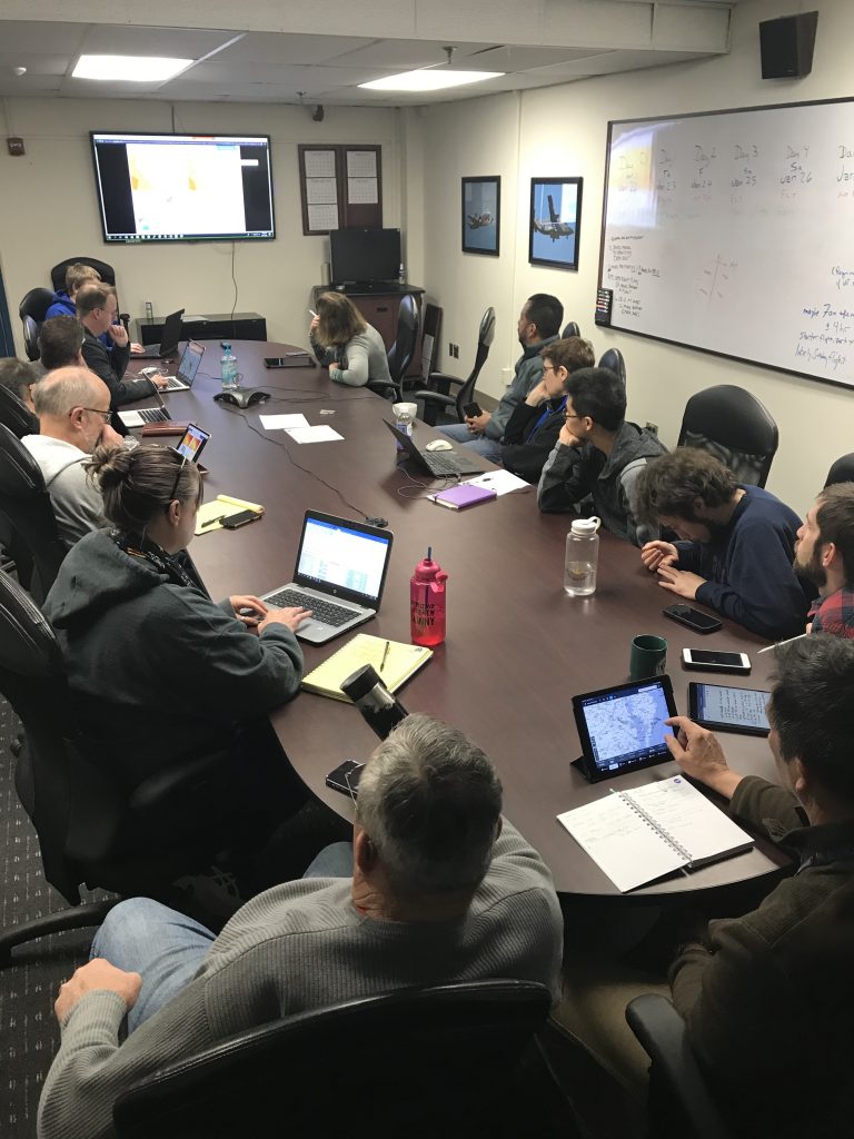
At the daily 9:00 am weather briefing on Wednesday, the team looked at several different weather models – the same ones used by the National Weather Service, the Weather Channel and other forecasters – to find the next storm they want to target.
“High pressure is finally moving out! Whooo!” said Sebastian Harkema, the lead forecaster, to open the briefing.
If you’re familiar with your local weather news, high pressure usually accompanies sunny skies and clear conditions – the opposite of what the science team is looking for. Instead they’re interested in flying into the bad weather. And there’s a developing storm system that will move across Pennsylvania and up toward Massachusetts, New York and Vermont on Saturday and Sunday.
The big question of the day is, do they schedule one flight through it, or two on back-to-back days?
The advantage of flying twice would be more data collected. However, the human factor of flying two days in a row means that between flights is a 12-hour mandatory crew rest, so the timing of the second flight may not be the best time to sample the second part of the storm – and there’s a chance that the snowing part of the storm may have passed by the time they get out there.
The advantage of doing one flight is that the science team can pick the time and place they think will have the best snow.
The other logistical consideration is the mobile team of researchers from the University of Illinois, Champaign-Urbana, who are driving their vehicles on highways and back roads to be below the storm while the P-3 and ER-2 aircraft fly above it. From the ground they are sending up balloon sondes – instruments to measure the temperature and humidity from the ground to the clouds. They’d likely only be able to make one of two locations, since they’d have to drive through the very snow or cold rain the science team was measuring to get to the second spot three states away.

In the end, the team waits for the next run of the models, which come out every 6 hours, before making a decision. At the times and locations that look the most promising – Central Pennsylvania, the tri-corner where Massachusetts, New York and Vermont meet – they look at how wet or dry the air is and the likely temperatures, trying to discern the best spots to sample snow.
“It’s a messy storm,” said IMPACTS Principal Investigator Lynn McMurdie of the University of Washington. The temperatures are on the warm side, and there’s indications of tendrils of dry air throughout, which can stop precipitation. It’s unclear in some spots whether they’d find rain or wet snow.
The verdict: one flight on Saturday to pick the best time and place. Three days out, they’re looking at Vermont, but they won’t make any final decisions until they have a better forecast to help narrow the timing and location down in the next day or so. Still, the flight planners are already working up a preliminary plan so they’ll be ready to refine it when conditions become more clear tomorrow.
