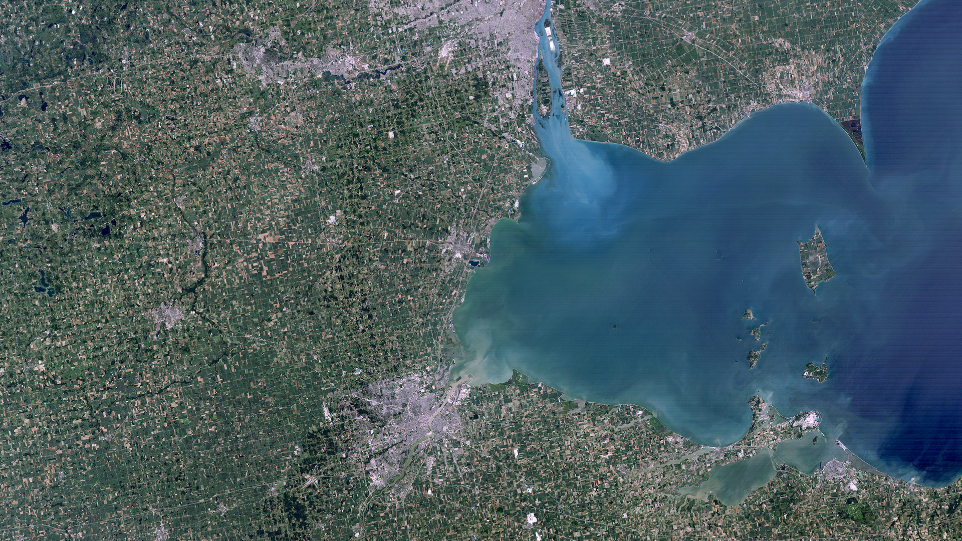
Landsat 4 First Light Image of Detroit
Landsat 4’s first light image was the first in the Landsat program to show natural color. The Thematic Mapper sensor introduced a blue band, allowing red, green, and blue bands to be mapped directly to their respective visible colors.
Image Credit: USGS/NASA
- X
https://science.nasa.gov/image-detail/amf-02df739a-327a-483b-8771-b34b73f28f5d/
Image CreditUSGS/NASA
Size1920x1080px