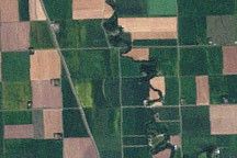
Agriculture
Every day, farmers and other agricultural producers rely on timely, trusted information to manage their crops, land, and livestock. NASA develops technology and missions to observe agricultural landscapes from space, the air, and the ground — information that the U.S. and international partners use to enhance food security, stabilize markets, and support productive farming.
Where Does NASA Fit?
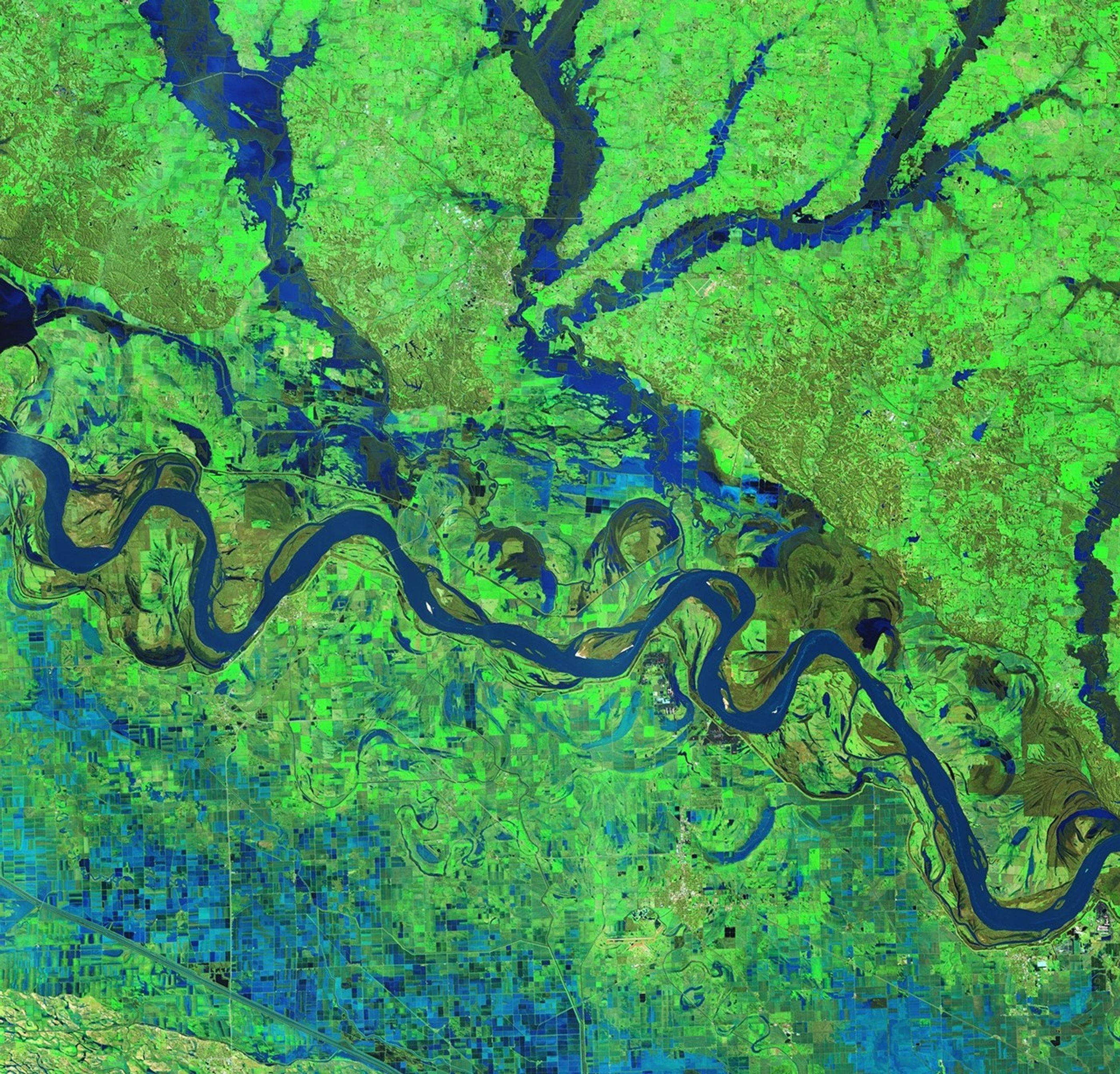
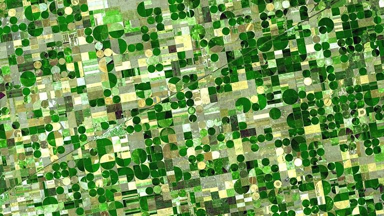
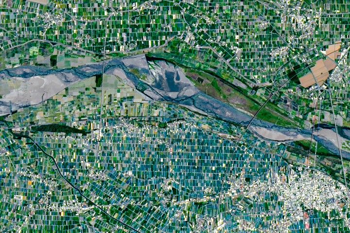
From space, NASA tracks soil moisture, groundwater levels, crop type, and agricultural production, while also supporting precision farming with GPS-based field mapping. On the ground, NASA collaborates with local producers to develop and refine solutions that meet their local needs. By transforming satellite data into practical tools and maps, NASA helps producers at home and around the world anticipate challenges, improve productivity, and safeguard food resources.
How NASA Helps U.S. Agriculture
The farmers responsible for the food that reaches your plate need a lot of a very precious and limited resource, water. NASA works with farmers like Dwane Roth of Kansas to help them track their water use.
More DetailAgriculture Essentials
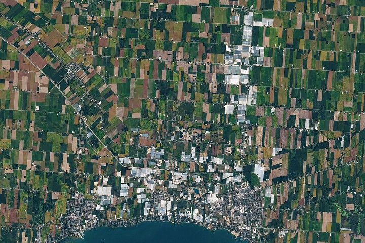
Feet on the ground, eyes on the sky, farmers count on NASA data and overviews.
NASA Harvest
The NASA Harvest Consortium uses Earth Observation data to offer insight into U.S. and global agriculture.

U.S. Department of Agriculture's Monthly World Agricultural
Supply and Demand Estimates Report
Learn about conditions in your area.
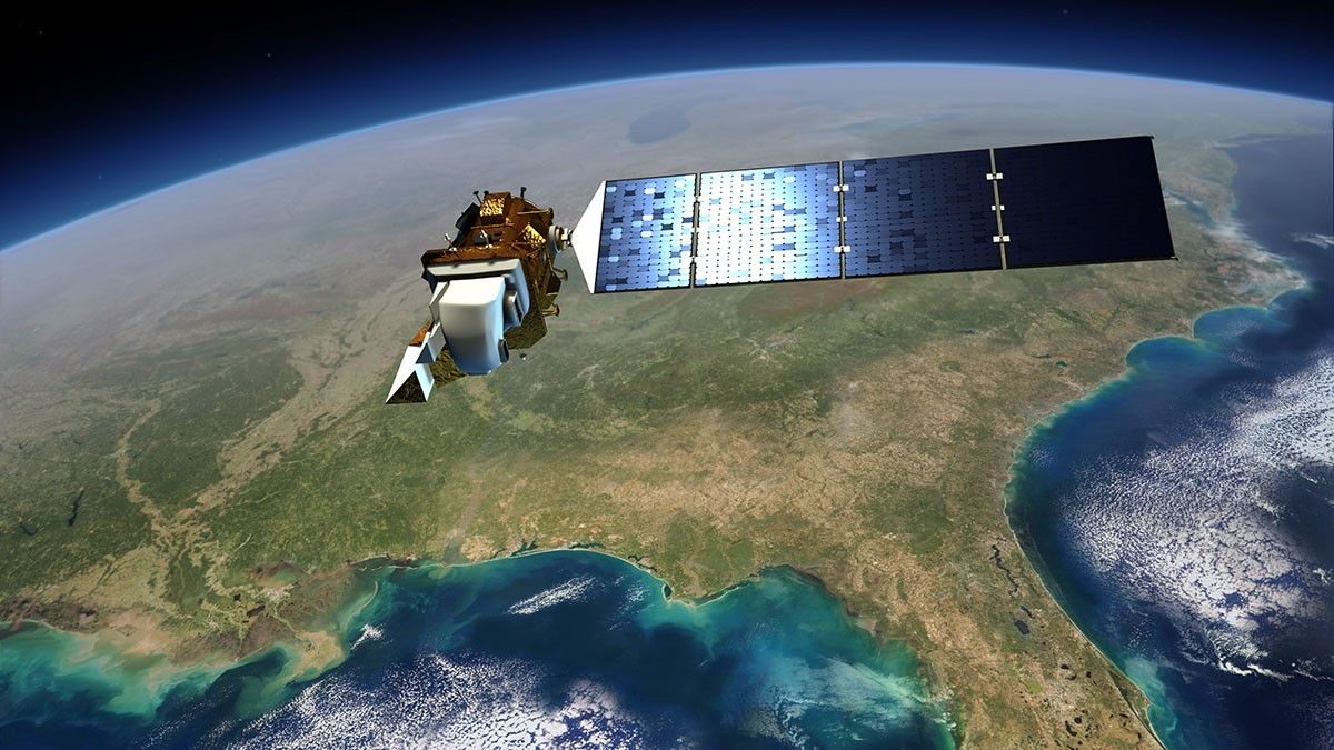
NASA and Agriculture: From Seeds to Satellites
NASA satellites, data, missions, and programs have been put to use for decades to strengthen food security, track droughts and flooding, determine plant and soil health and otherwise support agriculture decision making.
Learn More
NASA Satellites Keep Watch on U.S. Food Supply
The USDA's National Agricultural Statistics Service, or NASS, has drawn on Landsat data to monitor dozens of crops in the lower 48 states as part of NASS's Cropland Data Layer program.
Learn MoreNASA's Agriculture Missions
Show Me the Data

NASA EarthData: Agriculture Production
NASA data helps farmers, ranchers, land managers, researchers, and others in agricultural businesses understand the complex interactions among the production, distribution, and consumption of goods and services related to agriculture, food, the environment, and rural development.