


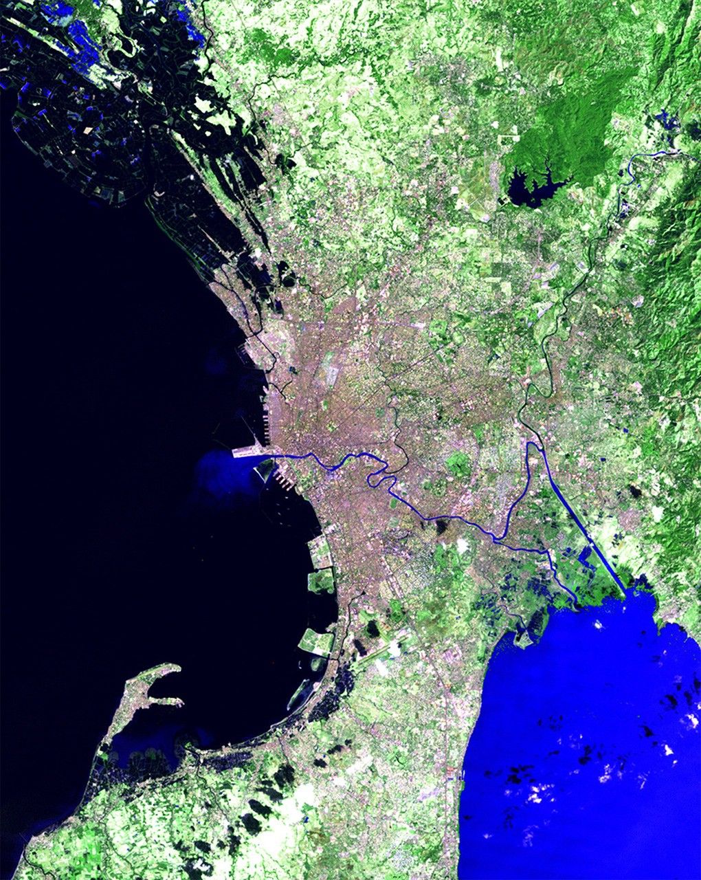
before
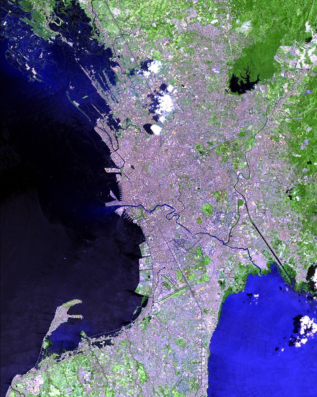
after


Before and After
Urban growth in Manila, Philippines
January 25, 1989 - April 14, 2012
The Philippine capital of Manila is the most densely populated city in the world, with more than 1.6 million inhabitants in 14.8 square miles (38.5 square kilometers). The greater metro area covers 246 square miles (638 square kilometers) and hosts a population of over 11 million. These satellite images illustrate how much the city has expanded in little more than two decades, bringing significant infrastructure and environmental problems. The Pasig River, which cuts through the urban area, is one of the most polluted rivers in the world. Images taken by the Thematic Mapper sensor onboard Landsat 4 and the Enhanced Thematic Mapper Plus sensor onboard Landsat 7. Source: U.S. Geological Survey (USGS) Landsat Missions Gallery, "Manila, Philippines," U.S. Department of the Interior / USGS and NASA.


