


![Request for Information – Potential [Placeholder for Prize]](https://assets.science.nasa.gov/dynamicimage/assets/science/psd/solar/2023/09/s/solarsystem_0.jpg?w=1024)


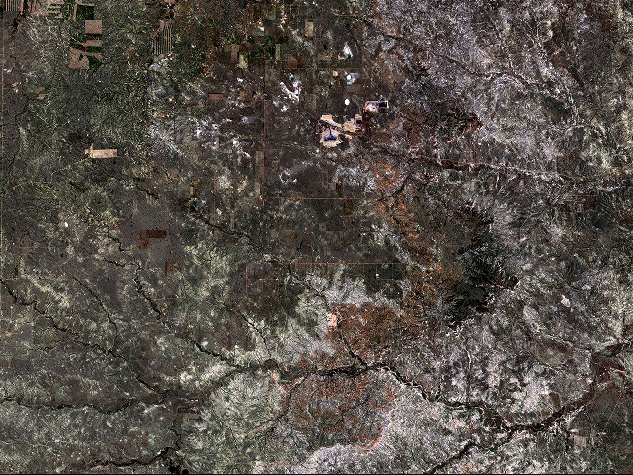

before
after
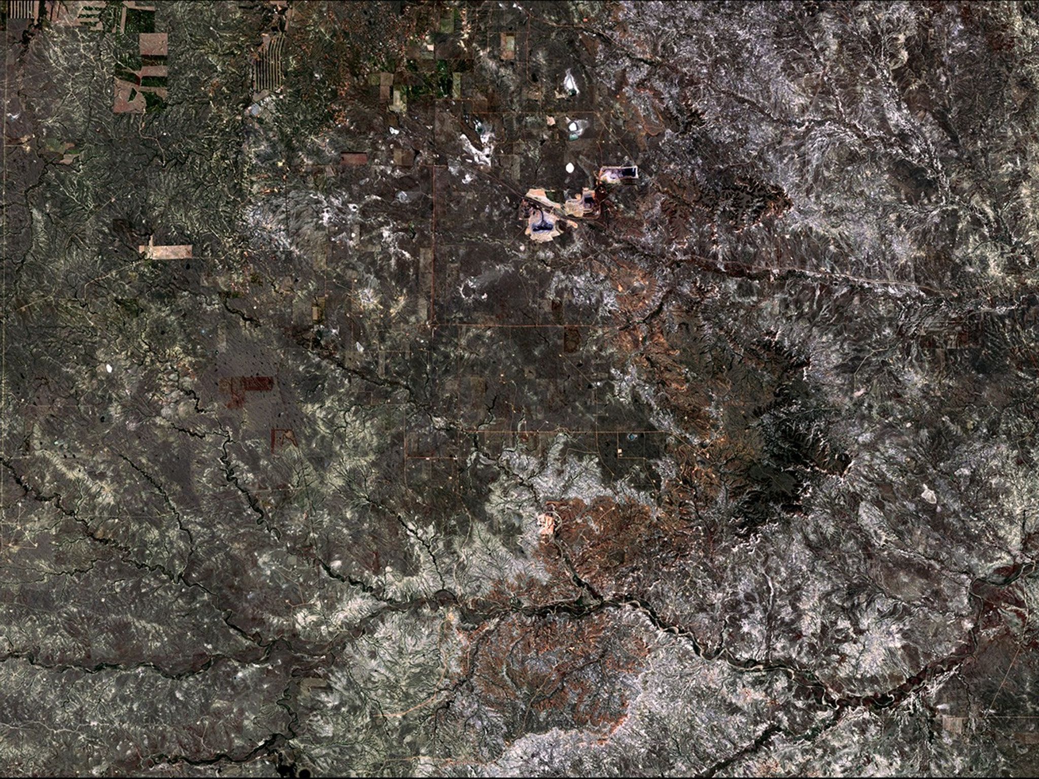
Before and After
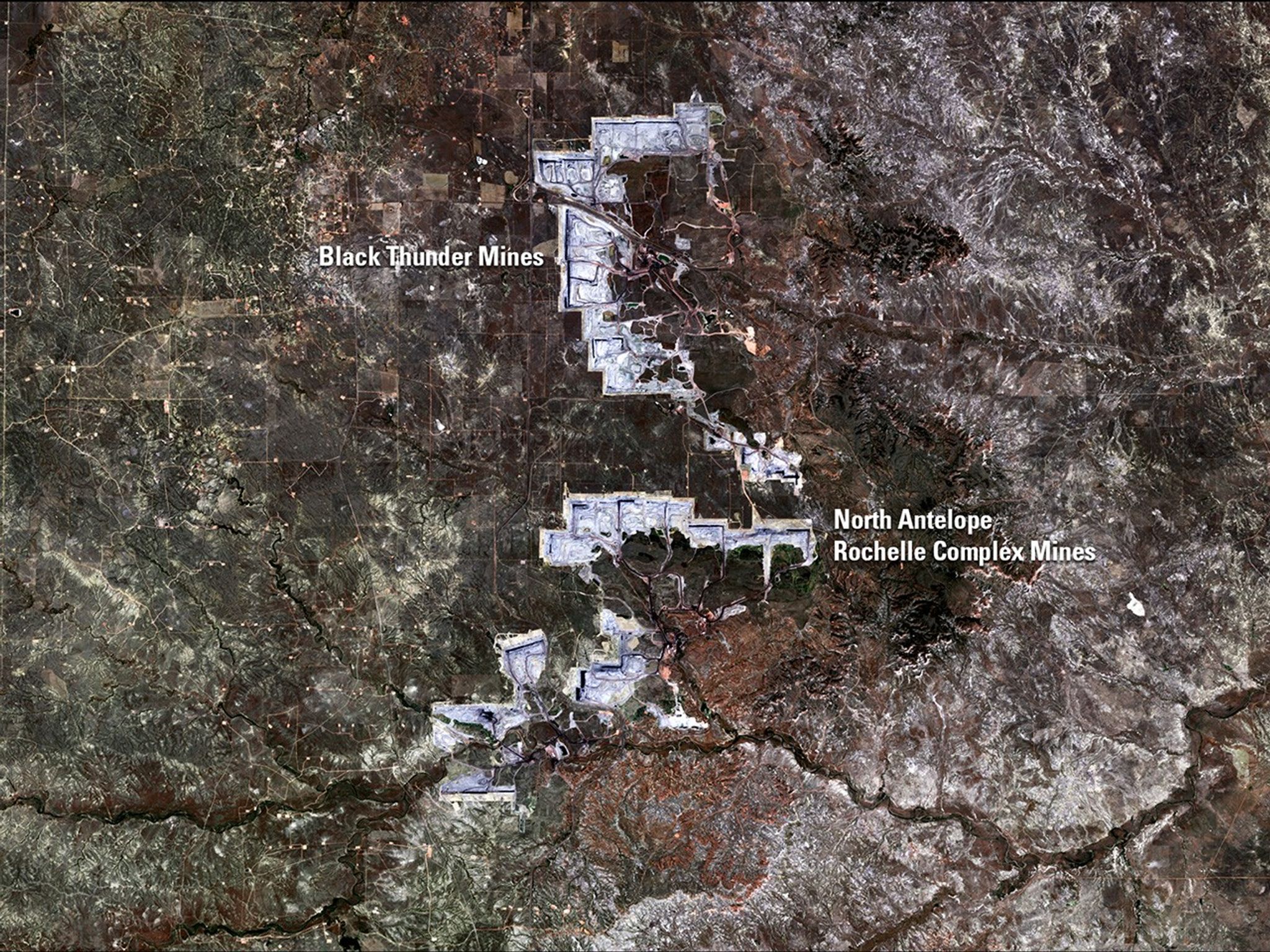
Open-pit coal mine growth in Powder River Basin, Wyoming
June 29, 1984 - June 21, 2016
Wyoming’s Powder River Basin hosts the North Antelope Rochelle Complex—largest coal mine in the U.S.—and the Black Thunder Mine. Together, they produced 22 percent of the U.S. coal supply in 2014. These images show the landscape’s change from predominantly agricultural use to open-pit mining. USGS officials estimate that these mines have less than 20 years of economically recoverable coal remaining, after which the companies will be required to reclaim the land. Images taken by the Thematic Mapper onboard Landsat 5 and the Operational Land Imager onboard Landsat 8. Source: U.S. Geological Survey (USGS) Landsat Missions Gallery; “Landsat Reveals Industrial Growth in Powder River Basin”; U.S. Department of the Interior / USGS and NASA.


