


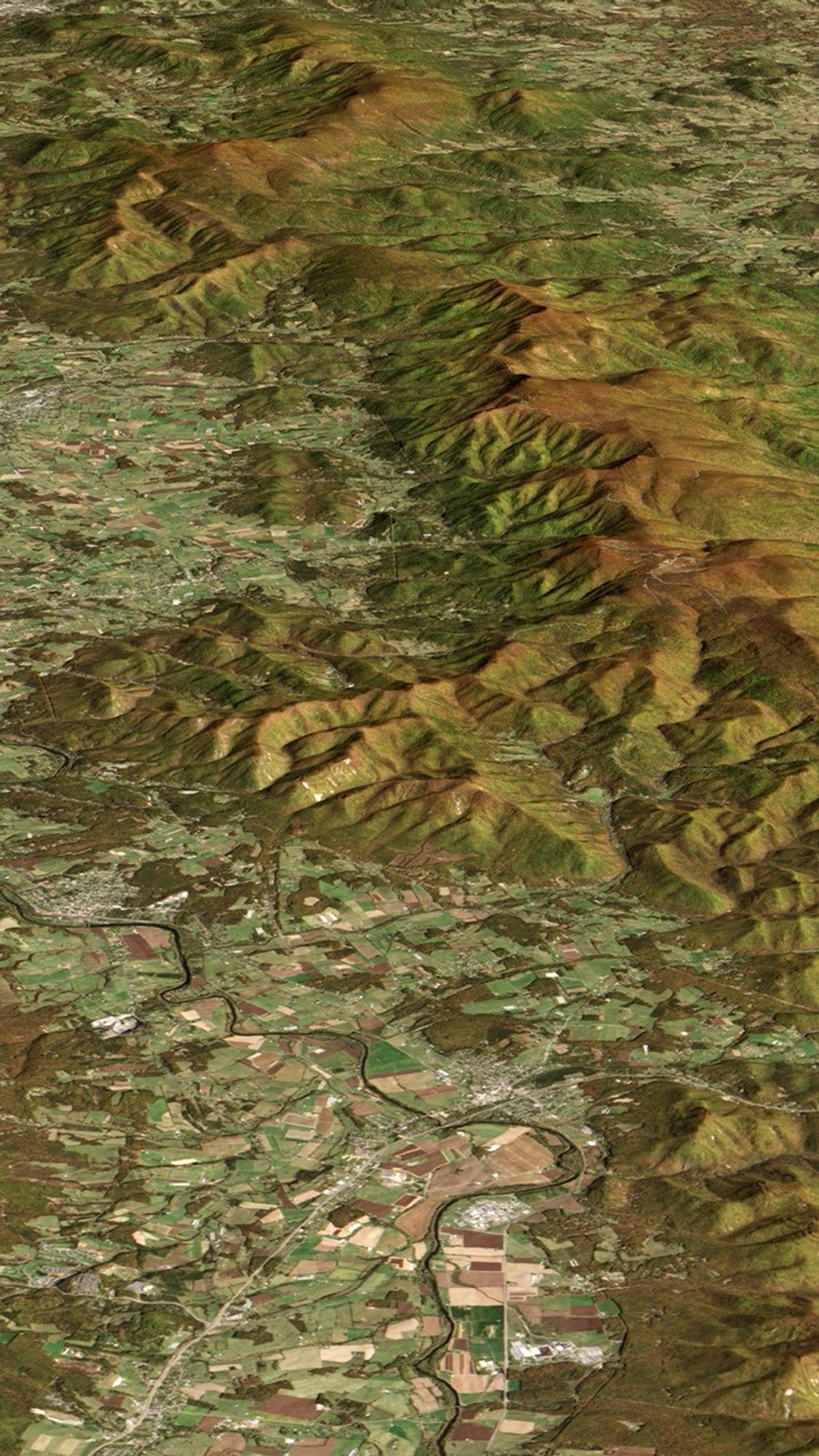
Shenandoah National Park
Natural-color Landsat 8 image of ridges near Shenandoah National Park in Virginia, acquired on October 21, 2013. The image has been draped over a digital elevation model based on data from the Advanced Spaceborne Thermal Emission and Reflection Radiometer (ASTER) on NASA�s Terra satellite. The tops of both ridges are brown because fall colors had emerged in these cool, high-elevation areas.
Image Credit: NASA
- X
https://science.nasa.gov/image-detail/amf-87f21ed0-0cb9-4041-97d2-9cb3a244ac70/
Image CreditNASA
Size1125x2000px
