


Written by Lucy Lim, Planetary Scientist at NASA’s Goddard Space Flight Center
Earth planning date: Friday, April 17, 2026
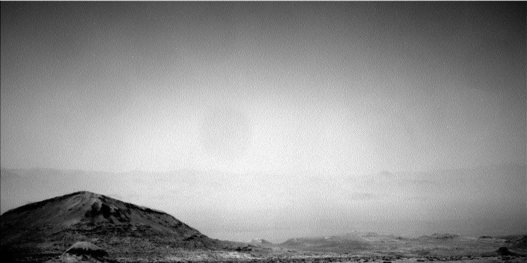
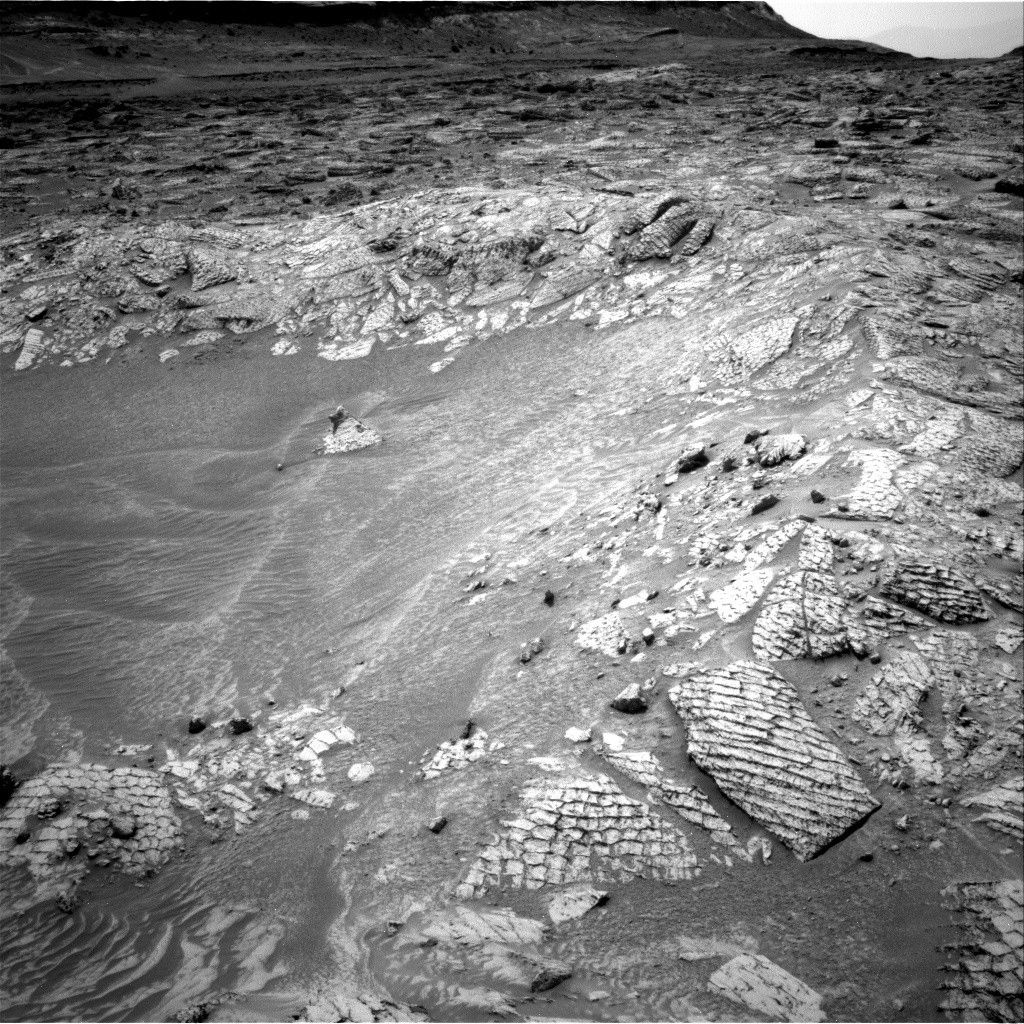
At the beginning of the week, Curiosity arrived right on target on the rim of the 10-meter (33 feet) “Antofagasta” crater.
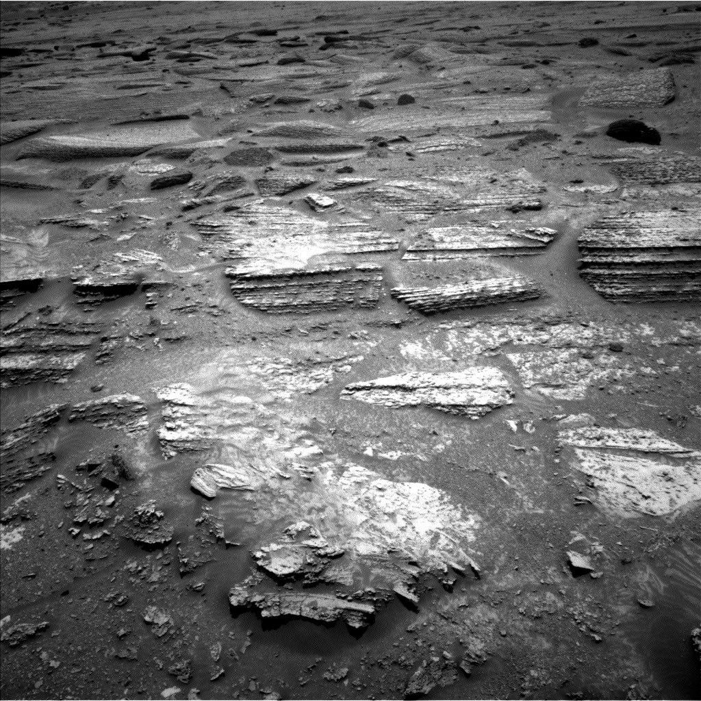
The crater looked fresh and deep as we had hoped with a nice well-defined rim that didn't look too eroded, but the bottom of it turned out to be filled with dark rippled sandy material that covered up the most interesting rock layers. There were a few rock exposures just above the sand cover that seemed like they might have been deep enough to have been sheltered from space radiation between the time their sediments were deposited and the crater-forming impact, but reaching them from the rim would have put the rover at such an awkward angle that we wouldn't have been able to deliver the sample to the instruments. It's possible that we might have been able to get into a better position by instead placing the rover on the rippled crater fill, but the chance that the rover could get stuck in all that sand made it much too high a risk. We also looked at the nearby blocks in case they could have been ejecta from the crater, but since all the rocks visible in the crater wall looked very similar to each other, there wasn't a good way to tell which ejecta blocks might have come from the deeper layers of the crater. Because of this, the team decided against attempting to drill in or around the crater.
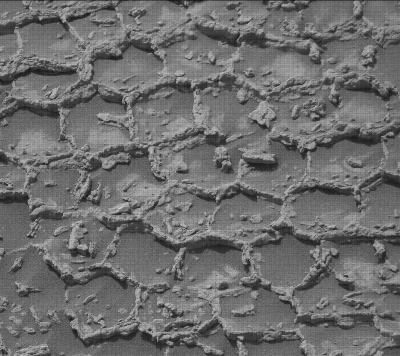
Luckily the rover's workspace was rich with interesting bedrock targets including polygonal features. We planned detailed imaging of the crater and nearby buttes together with APXS geochemistry, MAHLI close-up imaging and ChemCam LIBS geochemistry of the polygon-bearing rocks on the crater rim. The plan was rounded out with our ongoing observations of the present-day Martian environment, including monitoring for dust-devil activity and regular measurements of atmospheric opacity and clouds.
Meanwhile, with the decision not to drill at Antofagasta, we started planning our next drill campaign! To plan our drill strategy in this post-boxwork section of the layered sulfate strata, we've been looking at the exposed layering in the buttes above us as we have been driving up through “Valle Grande.” Based on these observations, team members have mapped out a succession of varying depositional styles and levels of diagenetic activity. As we climb southwards, the rover will reach these rock layers one by one.
It's been quite a while since we've drilled into the layered sulfate rocks outside the distinctive regions of the boxwork-forming unit and Gediz Vallis. The last "typical" layered sulfate drill was the "Mineral King" campaign in February/March 2024, more than 150 meters (492 feet) lower in elevation. So for our next drill campaign our goal is to measure a representative bedrock sample from the layers just above the boxworks. The Sol 4870 workspace turned out to have a drillable-looking, representative-looking block right in front of the rover so we have planned our preliminary APXS, MAHLI, and ChemCam geochemistry on the potential drill target, “Atacama,” in addition to some measurements on surrounding blocks for context. If the results look good we'll proceed with the preload test in the next plan and look forward to a new set of drill data on Mars.